Main navigation
Home
Caravans
Kampeershop
Alle artikelen
Barbecueën
Caravanartikelen
Chemische toiletten
Kampeerartikelen
Koken & servies
Tenten
Voortenten & luifels
Zaklampen
Deken slaapzakken
Tenten
Campings
Campings in België
Campings in Denemarken
Campings in Duitsland
Campings in Frankrijk
Campings in Griekenland
Campings in Italië
Campings in Kroatië
Campings in Luxemburg
Campings in Nederland
Campings in Noorwegen
Campings in Portugal
Campings in Slovenie
Campings in Spanje
Campings in Tsjechië
Campings in Zweden
Camping toevoegen
Bedrijven
Caravanbedrijven en dealers
Samenwerken?
Caravanbedrijf toevoegen
Camping toevoegen
Contact
Nieuws & tips
+ Verkopen
+ Inloggen
+ Registreer
Zoeken
Kruimelpad
Home
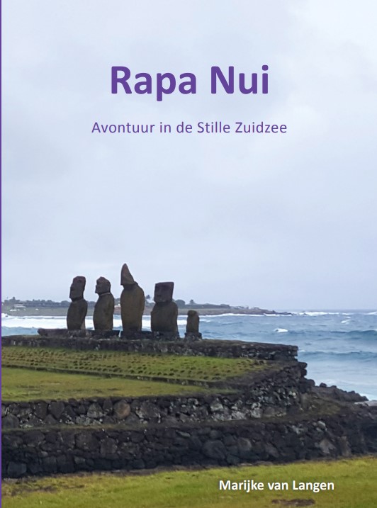
€ 17.95
Reisverhaal Rapa Nui | Marijke van Langen
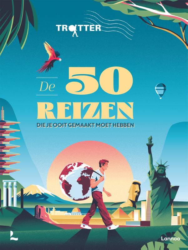
€ 44.99
Reisinspiratieboek Trotter De 50 reizen die je ooit gemaakt moet hebben | Lannoo
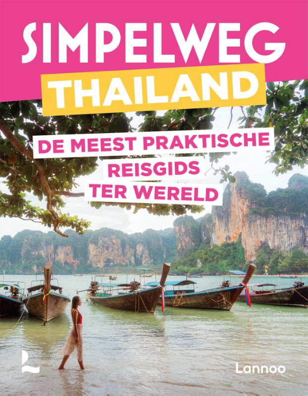
€ 16.99
Reisgids Simpelweg Thailand | Lannoo
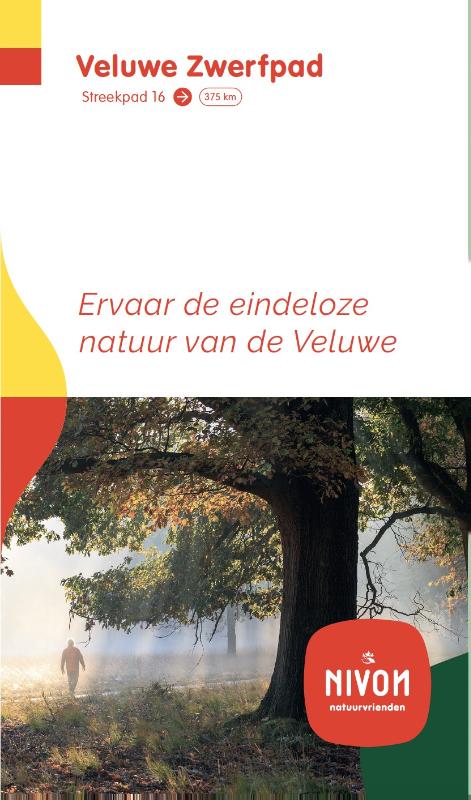
€ 21.00
Wandelgids 16 Streekpad Veluwe Zwerfpad | Wandelnet
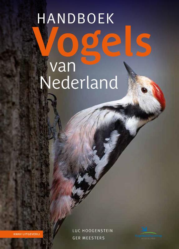
€ 34.95
Vogelgids Handboek Vogels van Nederland | KNNV Uitgeverij
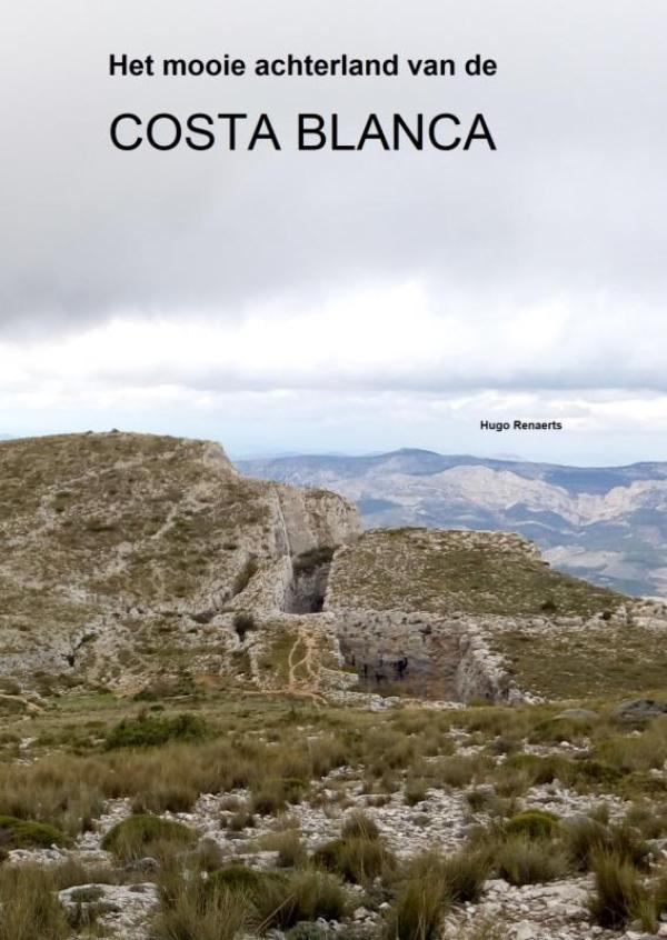
€ 34.50
Reisgids Het mooie achterland van de COSTA BLANCA | Brave New Books
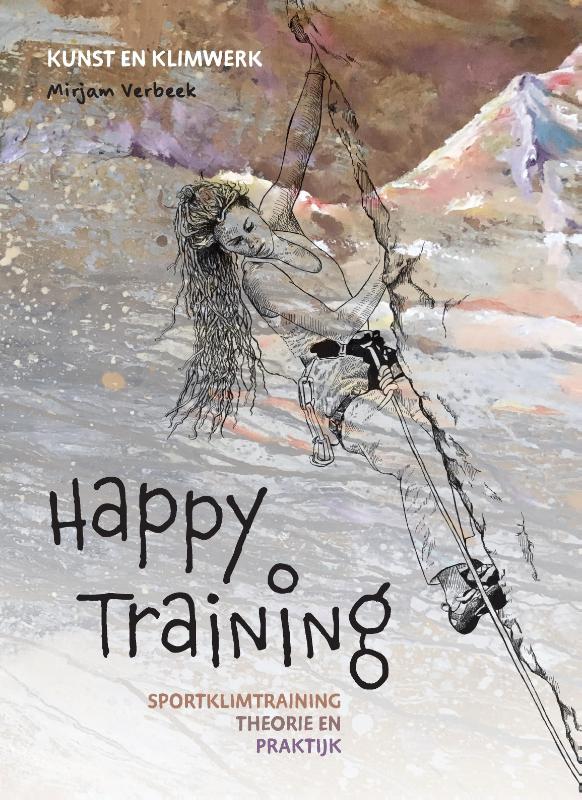
€ 32.00
Klimgids - Klettersteiggids Happy Training | Pumbo
€ 22.50
Reisverhaal Je was die jongen | Nico Bouton
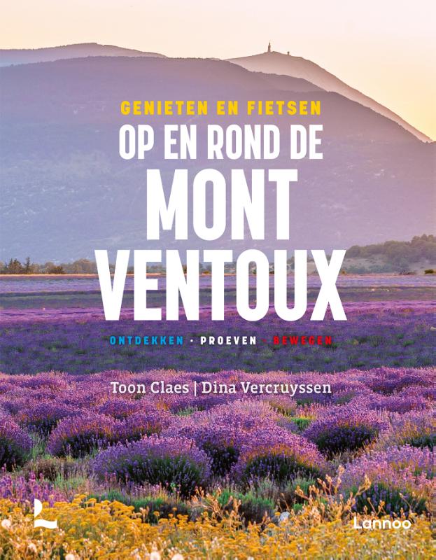
€ 36.99
Reisgids Genieten en fietsen op en rond de Mont Ventoux | Lannoo
€ 24.99
Opruiming - Reisgids Dominicus Elzas, Vogezen en Jura | Gottmer
Paginering
Eerste pagina
« Eerste
Vorige pagina
‹ Vorige
…
Pagina
2993
Pagina
2994
Pagina
2995
Pagina
2996
Huidige pagina
2997
Pagina
2998
Pagina
2999
Pagina
3000
Pagina
3001
…
Volgende pagina
Volgende ›
Laatste pagina
Laatste »
Abonneer op