€ 9.95
Vogelgids Kentucky | Waterford Press

Kentucky Birds is the perfect pocket-sized, folding guide for the bird lover and nature enthusiast. This beautifully illustrated guide highlights over 140 familiar species and includes a map featuring prominent state-wide birding hotspots. Laminated for durability, this handy guide is a great source of portable information and ideal for field use by novices and experts alike.


€ 9.95
Vogelgids Kansas | Waterford Press

Kansas Birds is the perfect pocket-sized, folding guide for the bird lover and nature enthusiast. This beautifully illustrated guide highlights over 140 familiar species and includes a map featuring prominent state-wide birding hotspots. Laminated for durability, this handy guide is a great source of portable information and ideal for field use by novices and experts alike.

€ 94.95
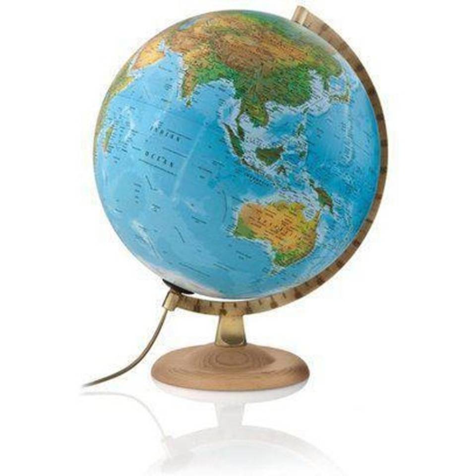
Wereldbol - Globe 51 Classic Line | Atmosphere Globes

De Classic globes van Atmosphere zijn klassiek vormgegeven globes met de nostalgische uitstraling van weleer. Met fysisch politiek kaartbeeld, beukenhouten voet,een doorsnede van 30cm met verlichting. Nederlandstalig.

Licht uit: natuurkundige cartografie.

Licht aan: politieke cartografie.


€ 9.95
Natuurgids Florida Butterflies & Moths | Waterford Press

Florida Butterflies & Moths is the perfect pocket-sized, folding guide for the nature enthusiast. This beautifully illustrated guide highlights over 70 familiar species of butterflies and moths. Laminated for durability, this handy guide is a great source of portable information and ideal for field use by novices and experts alike.

€ 14.95
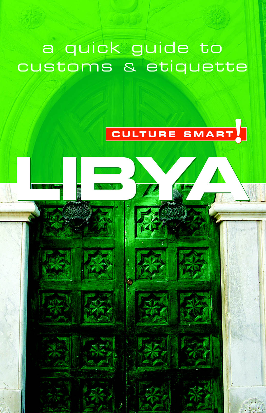
Reisgids Culture Smart! Lybia - Libië | Kuperard

Culture Smart! provides essential information on attitudes, beliefs and behavior in different countries, ensuring that you arrive at your destination aware of basic manners, common courtesies, and sensitive issues. These concise guides tell you what to expect, how to behave, and how to establish a rapport with your hosts. This inside knowledge will enable you to steer clear of embarrassing gaffes and mistakes, feel confident in unfamiliar situations, and develop trust, friendships, and successful business relationships.

Culture Smart! offers illuminating insights into the culture and society of a particular country. It will help you to turn your visit-whether on business or for pleasure-into a memorable and enriching experience. Contents include:

* customs, values, and traditions
* historical, religious, and political background
* life at home
* leisure, social, and cultural life
* eating and drinking
* do's, don'ts, and taboos
* business practices
* communication, spoken and unspoken

"Culture Smart has come to the rescue of hapless travellers." Sunday Times Travel

"... the perfect introduction to the weird, wonderful and downright odd quirks and customs of various countries." Global Travel

"...full of fascinating-as well as common-sense-tips to help you avoid embarrassing faux pas." Observer

"...as useful as they are entertaining." Easyjet Magazine

"...offer glimpses into the psyche of a faraway world." New York Times

€ 17.50
Fietsgids Bikeline Rhone-Radweg, Aare-Radweg | Esterbauer

Praktische fietsgids met detailkaarten, ingetekende route, informatie over overnachten en fietsenmakers, zwaarte en hoogteprofiel. In spiraalbinding, Duitstalig. Nu met watervaste geplastificeerde kaarten!!


So weit sind sie nicht voneinander entfernt, die beiden Ursprünge von Rhone und Aare: Nur wenige Kilometer Luftlinie trennen die beiden und doch treffen sich die Flüsse nie. Die europäische Wasserscheide, die in diesem Gebiet verläuft, sorgt dafür, dass sich die beiden Gebirgsflüsse in unterschiedliche Richtungen davon „machen“: die Rhone mit Umweg über den Genfer See ins Mittelmeer und die Aare nach Norden zum Rhein und in die Nordsee. Egal, ob Sie sich für den Rhone-Radweg oder den Aare-Radweg entscheiden, Ihr Weg führt Sie durch urige Alpendörfer, weltgewandte und weltbekannte Städte und durch atemberaubende Natur. 

Der Rhone-Radweg etwa geleitet Sie durch das mittelalterliche Sierre nach Sion, das von Weitem schon an seinen beiden Burghügeln erkennbar ist. Am Genfer See erleben Sie mediterranes Flair und die von der UNESCO geschützten Weinhänge von Lavaux tun ihr Übriges um Sie in Mittelmeeratmosphäre zu versetzen. Dass Wein in der Schweiz geschätzt wird, zeigt sich nicht nur im Lavaux, sondern auch im Wallis, etwa im Weinmuseum in Salgesch oder in den Weingärten rund um Visp. Mit der Olympiastadt Lausanne und Montreux liegen außerdem zwei Weltmetropolen auf Ihrem Weg entlang der Rhone, bis Ihre Reise schließlich in der Wissenschaftsstadt Genf endet.

Auch die Reise an der Aare ist nicht minder spannend. Schon zu Beginn erwartet Sie ein Naturschauspiel sondergleichen: Zwischen Innertkirchen und Meiringen hat sich die Aare tief in den Kalkfelsen eingegraben und das Naturschauspiel der Aareschlucht geschaffen. Falls Sie noch mehr über die Schweizer Bauernkultur erfahren wollen, so lohnt sich ein Abstecher weg von der Aare zum Freilichtmuseum Ballenberg. In Interlaken tritt die Bergkulisse nochmals besonders hervor, von der Stadt haben Sie nämlich einen atemberaubenden Blick auf das berühmte Panorama von Eiger, Mönch und Jungfrau! Mit der Schweizer Hauptstadt Bern liegt außerdem ein besonderes kulturelles Schmuckstück auf Ihrem Weg: Neben den zahlreichen Museen sollten Sie sich auf jeden Fall Zeit für einen Bummel durch die von der UNESCO als Welterbe ausgezeichnete Altstadt nehmen! Vorbei an Biel/Bienne und durch das Seeland erreichen Sie die Barockstadt Solothurn mit der berühmten St.-Ursen-Kathedrale. Entlang der gemächlich fließenden Aare, vorbei an Aarau und Brugg, radeln Sie schließlich dem Ende Ihrer Tour entgegen: Bei Koblenz mündet die Aare in den Rhein.

€ 9.95
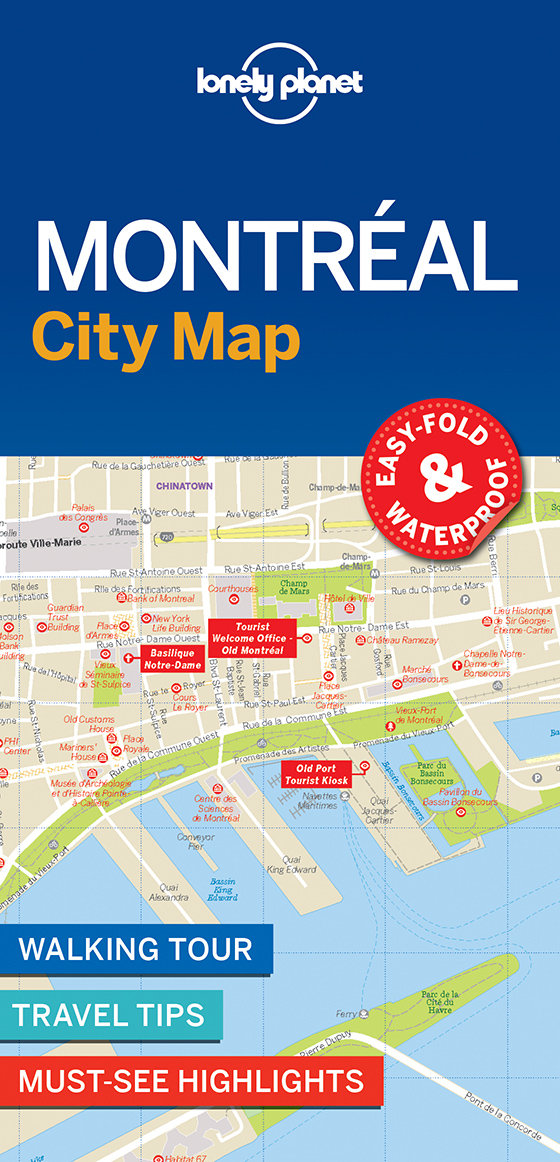
Stadsplattegrond City map Montréal | Lonely Planet

De stadsplattegronden van Lonely Planet zijn uitgevoerd op scheur- en watervast papier, zijn lichtgewicht en kennen een handig formaat. Het centrum van de stad is in heldere kleuren in beeld gebracht met straatnamen, bezienswaardigheden en symbolen voor openbaar vervoer. Op de achterzijde staat informatie over de toeristische hoogtepunten en in de meeste gevallen een schematische plattegrond van het openbaar vervoer. Met een register.

Durable and waterproof, with a handy slipcase and an easy-fold format, Lonely Planet Montreal City Map is your conveniently-sized passport to traveling with ease. Get more from your map and your trip with images and information about top city attractions, walking tour routes, transport maps, itinerary suggestions, extensive street and site index, and practical travel tips and directory. With this easy-to-use, full colour navigation tool in your back pocket, you can truly get to the heart of Montreal, so begin your journey now!

Durable and waterproof

Easy-fold format and convenient size

Handy slipcase

Full colour and easy-to-use

Extensive street and site index

Images and information about top city attractions

Handy transport maps

Walking tour routes

Practical travel tips and directory

Itinerary suggestions

Covers Chinatown, Old Montreal, Quartier Latin, The Village, Downtown, Plateau Mont-Royal, Westmount


€ 10.95
Stadsplattegrond City map Bangkok | Lonely Planet

De stadsplattegronden van Lonely Planet zijn uitgevoerd op scheur- en watervast papier, zijn lichtgewicht en kennen een handig formaat. Het centrum van de stad is in heldere kleuren in beeld gebracht met straatnamen, bezienswaardigheden en symbolen voor openbaar vervoer. Op de achterzijde staat informatie over de toeristische hoogtepunten en in de meeste gevallen een schematische plattegrond van het openbaar vervoer. Met een register.

Durable and waterproof, with a handy slipcase and an easy-fold format, Lonely Planet's Bangkok City Map is your conveniently sized passport to travelling with ease. Get more from your map and your trip with images and information about top city attractions, walking tour routes, transport maps, itinerary suggestions, an extensive street and site index, and practical travel tips and directory. With this easy-to-use, full-colour navigation tool in your back pocket, you can truly get to the heart of Bangkok, so begin your journey now!


Durable and waterproof


Easy-fold format and convenient size


Handy slipcase


Full colour and easy to use


Extensive street and site index


Images and information about top city attractions


Handy transport maps


Walking tour routes


Practical travel tips and directory


Itinerary suggestions


Covers Ko Ratanakosin, Thonburi, Banglamphu, Thewet, Dusit, Chinatown, Siam Square, Pratunam, Phloen Chit, Ratchathewi, Riverside, Silom, Lumphini, Sukhumvit


Looking for more extensive coverage? Check out Lonely Planet's Bangkok, our most comprehensive guidebook to the city, covering the top sights and most authentic offbeat experiences.


About Lonely Planet: Lonely Planet is a leading travel media company, providing both inspiring and trustworthy information for every kind of traveller since 1973. Over the past four decades, we've printed over 145 million guidebooks and phrasebooks for 120 languages, and grown a dedicated, passionate global community of travellers. You'll also find our content online, and in mobile apps, videos, 14 languages, armchair and lifestyle books, ebooks, and more, enabling you to explore every day.


'Lonely Planet guides are, quite simply, like no other.' New York Times


'Lonely Planet. It's on everyone's bookshelves; it's in every traveller's hands. It's on mobile phones. It's on the Internet. It's everywhere, and it's telling entire generations of people how to travel the world.' Fairfax Media (Australia)


 

€ 14.95
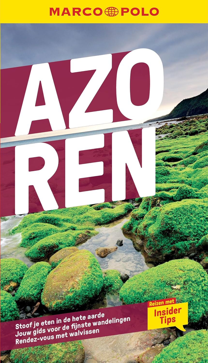
Reisgids Marco Polo NL Azoren | 62Damrak

Marco Polo reisgids voor de Azoren! Handig pocket formaat, boordevol informatie, met uitneembare kaart en 16 bladzijden met plattegronden. Met ‘insider tips’ om de échte Azoren te ontdekken, de TOP 15 van bezienswaardigheden in één oogopslag, up-to-date informatie in overzichtelijke hoofdstukken: sightseeing, eten & drinken, winkelen, uitgaan, verblijf, routes & tochten, voor kinderen, feesten, festivals & evenementen, internet tips, praktische info van a tot z, een taalgidsje, plattegronden en straatnamenregister.


€ 6.95
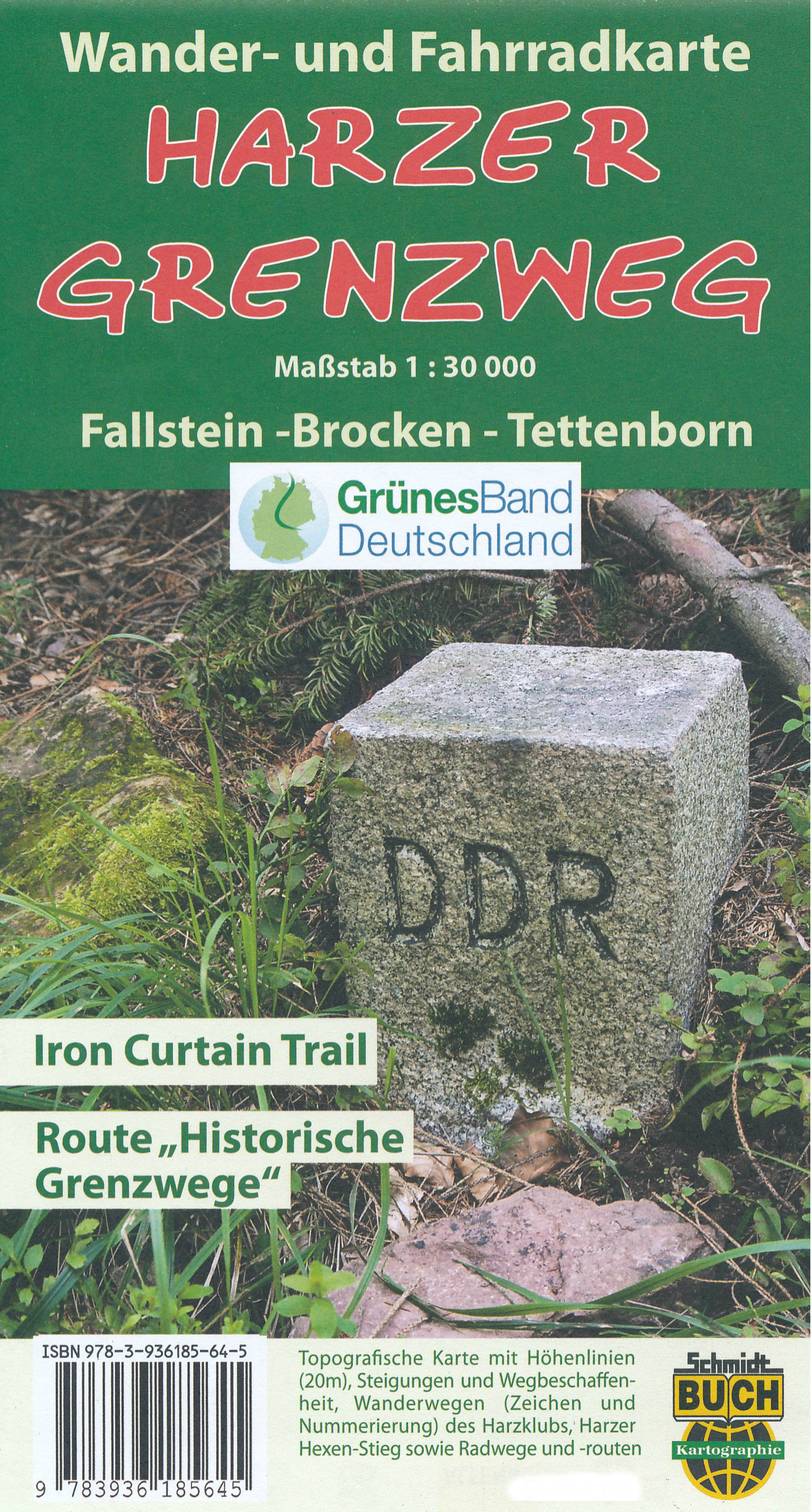
Wandelkaart - Fietskaart Harzer Grenzweg | Schmidt Buch Verlag

Wandelkaart en fietskaart van een groot deel van de Harz. Met symbolen staan alle belangrijke bezienswaardigheden aangegeven en ook veel ingetekende routes, de kaart is met name gericht op de Harzer Grenzweg en directe omgeving, een route die de hele Harz doorkruist van noord naar zuid. Ook met o.a. campings. Voor fietsers staat de Iron Curtain trail ingetekend.


Wanderkarte Radkarte Mountainbikekarte vom Fallstein im Norden bis Tettenborn bei Bad Sachsa im Süden sowie von St. Andreasberg im Westen bis Benneckenstein im Osten. 


Höhenlinien in 20-Meter-Schritten, 1000m-UTM-Gitter für GPS, Harzklubwanderwege in offizieller Markierung und Nummerierung, thematische Harz-Fernwanderwege, Montainbike-Informationen sowie ausgeschilderte Fahrradwege und Radwanderempfehlungen, Signaturen zu den Sehenswürdigkeiten und Freizeitstätten inklusive Skiliften, Skiabfahrten und Rodelbahnen

Abonneer op