€ 20.95
Wandelkaart 9 Outdoorkartan Gäddede - Hotagsfjällen - Föllinge | Norstedts

Een nieuwe serie detailkaarten voor de outdoor gebieden van Zweden, zowel de fjall en bergebieden als de interessante kano en hiking gebieden zuidelijker in Zweden zijn hierop afgebeeld. Gedrukt op scheur- en watervast papier. 

Deze kaarten zijn geheel gemaakt voor de wandelaar: alle routes zijn ingetekend, zo ook de hutten, campings, bruggen, zomer- en winterpaden, hulplijnen en routes die geschikt zijn voor snowmobiling.


De schaal van de wandelkaarten van Noord-Zweden zijn 1:75 000 en Zuid-Zweden 1:50 000

€ 19.95
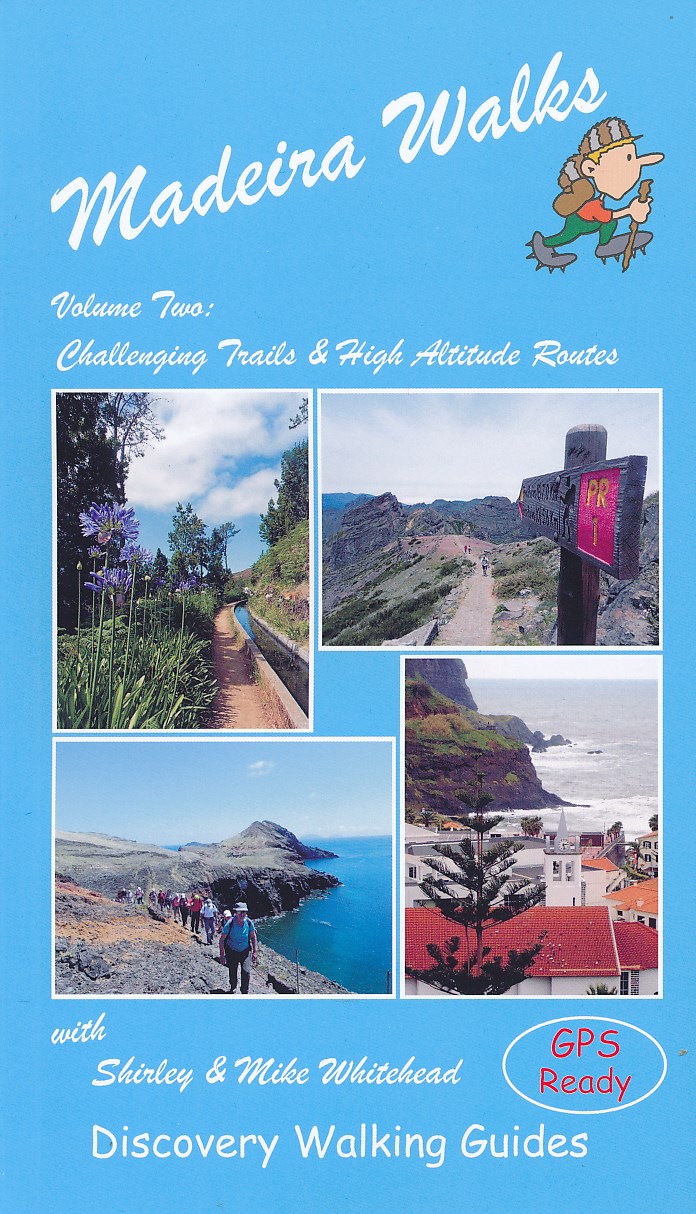
Wandelgids 2 Madeira Walks | Discovery Walking Guides

Engelstalige wandelgids Madeira, met uitgebreide beschrijvingen van wandelroutes, routekaartjes en praktische informatie zoals bussen en accommodatie.

In dit tweede deel staan de wat uitdagendere routes.

As a walker's paradise, Madeira has it all - majestic mountains, rugged coastline, ancient forests, a unique levada network and verdant flora; easy to see why so many walkers return year after year. In 2015 Madeira was voted the "World's Best Island Destination" by the World Travel Awards the final accolade from the previous two years when it was voted "Europe's Leading Island Destination". Quite an achievement, brought about largely by the substantial EU investment over the past decade in the improvement and development of the island's infrastructure and facilities.


One of the initiatives focused on improving and creating new walking trails which has resulted in Madeira now being regarded as one of Europe's top hiking destinations.To date, around thirty routes on Madeira have been designated Recommended Trails for Hikers and currently our guides are the only publications to include all these trails. We have also taken on board the many comments received from walkers over the last few years. Taking all the above into account, we've reorganized our books into a compendium of two editions; Madeira Walks: Volume One, Leisure Trails included the shorter and easier trails whilst Madeira Walks: Volume Two covers 40 more challenging and high altitude routes.


There's a good balance including coastal routes, forest trails, moorland and mountain pathways and levada walks although the terrain varies greatly. We've introduced a number of new routes whilst continuing to include our favourite 'off the beaten track' trails, so regardless of fitness, age or ability, there's something for everyone. Both books are arranged by geographic area, then by exertion rating under each heading.


All the trails have been surveyed and mapped using GPS satellite navigation. The authors and their co-walkers have walked all these routes and continue to revisit as many as possible, especially those we believe could be subject to change; this ensures accuracy and up to date information for hikers. Clear descriptions guide the walker both to the starting point and throughout the routes, with gradings, distances, timings and altitudes all symbolized.


Whilst distances vary considerably, many of the routes have steep ascents or descents and a few are subject to some extremely precipitous sections. Some information on flora and fauna is also included, while references to places of interest give readers a sense of the culture and history around these trails. Map sections were developed from the Madeira Tour & Trail Map, by far the most up to date and best-selling map on the island.


In addition to the walking trails, viewing platforms (miradouros) are found around the island providing strategic positions for taking in the most stunning views. Barbeque and picnic areas are also positioned in picturesque locations around the island.

€ 24.95
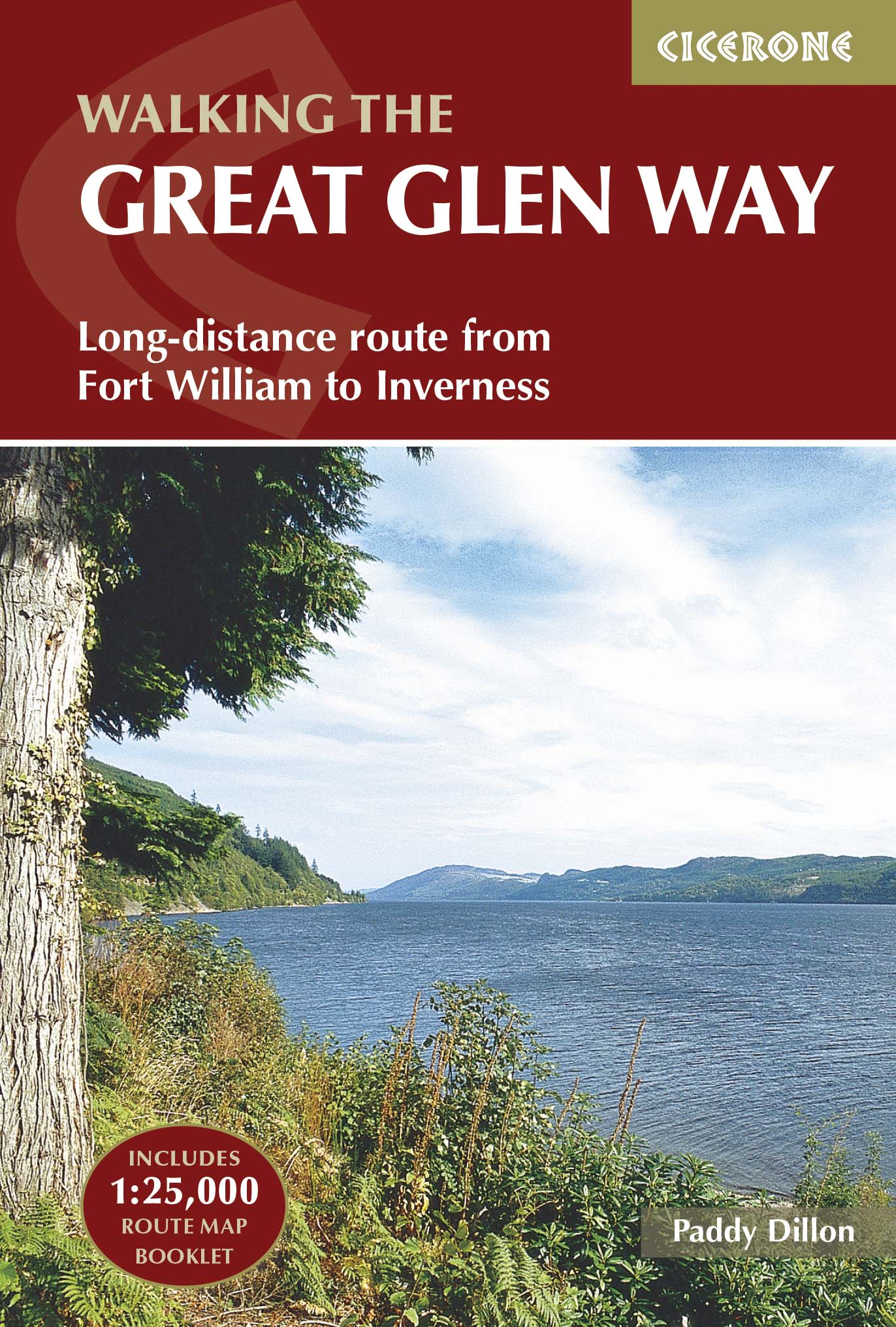
Wandelgids The Great Glen Way | Cicerone

Uitstekende wandelgids van de Great Glen Way, waarbij naast alle noodzakelijke informatie ook gebruik gemaakt wordt van de echte topografische kaart. inclusief gidsje met routekaarten van 1:25000 (deze is hier ook los te bestellen)


Guidebook to walking the Great Glen Way, one of Scotland’s Great Trails that runs along the Great Glen between Fort William and Inverness. The guidebook - which includes both a guide to the route and a separate OS map booklet – describes the route in both directions.


Ideal as an introduction to long-distance walking, the 79-mile Great Glen Way is split into six stages easily walked within a week, with high- and low-level options given for two of these. An alternative route past the northern side of Loch Oich (via Invergarry) is also described.


The guidebook includes practical information, 1:100,000 OS mapping, step-by-step route descriptions for every stage of the walk and lists the facilities found along the way. A separate booklet of 1:25,000 OS mapping provides all the mapping needed to walk the trail. The trail stretches alongside the scenic Caledonian Canal, which links Loch Lochy and Loch Oich with the famous Loch Ness. The route uses undulating forest tracks, lakeside paths, old drove roads and military roads, as well as contrasting stretches over heather moorlands or through city suburbs. The Great Glen is one of the most remarkable features in the Scottish landscape - a ruler-straight valley along an ancient fault line through the Highlands.


The route in this guidebook is described in both directions, and given the connection with the West Highland Way at Fort William there is no reason why both trails shouldn’t be walked together in one long journey between Glasgow and Inverness, or vice versa.


Steden en Dorpen

Inverness, Drumnadrochit, Invermoriston, Fort Augustus, North Laggan, Gairlochy, Fort William

€ 29.95
Wandelkaart 2753 Turkart Rendalen | Nordeca

Uitstekende wandelkaart van een deel van Noorwegen. De Noren zelf gebruiken deze kaarten ook voor hun wandeltochten in de berggebieden. Afhankelijk van de moeilijkheidsgraad van het gebied voldoet een 1:25.000, 1:50.000 of 1:100.000 kaart. 


Alle noodzakelijke informatie vind je er op terug: bemande en onbemande hutten, campings, rivier-oversteken, wandelroutes en veelal ook langlaufroutes; daarnaast natuurlijk de topografische details als hoogtelijnen, soort landschap of wegennet. Met UTM grid.


De legenda is in het Noors en Engels, verdere informatie op de achterzijde van de kaart is in het Noors. De kaart wordt geleverd in een papieren hoesje.


Gebied: Hedmark

Plaatsnamen op de kaart: Atndalen, Atnosen, Barkald, Bergset, Eldådalen, Elgspiggen, Elgå, Femunden, Femundsenden, Hanestad, Hedmark, Imsdalen, Imsroa, Isteren, Koppang, Langsjøen, Midtre Sølen, Osdalen, Otnes, Rendalen, Slemdalen, Storsjøen, Sølendalen, Sølensjøen, Søre Elvdal, Trysilelva, Tverrfjellet, Tylldalen, Åkrestrømmen, Østerdalen, Øvre Rendal


€ 13.95
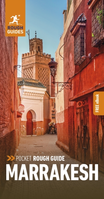
Reisgids Rough Guide Pocket Marrakesh | Rough Guides

Een kleinere versie in zakformaat van de grotere versies van de Rough Guides. Als altijd weer vol met goede informatie over cultuur en praktische zaken. Achterin een kaart van de stad.

This compact, practical and entertaining travel guide to Marrakesh will help you discover the best of the destination. Our slim, trim treasure trove of trustworthy travel information is ideal for travellers on short trips. It covers all the key sights such as the Ben Youseff Medersa, Jemaa el-Fna and El Badi Palace, restaurants, shops, cafes and bars, plus inspired ideas for day-trips, with honest independent recommendations from expert authors.


This Marrakesh guide book has been fully updated post-COVID-19 and it comes with a free ebook. The Pocket Rough Guide Marrakesh covers: Jemaa el Fna and the Koutoubia, the Northern Medina, the Southern Medina and Agdal Gardens, The Ville Nouvelle and Palmery, Atlas Excursions, and Essaouira. Inside this guide book to Marrakesh you will find:RECOMMENDATIONS FOR EVERY TYPE OF TRAVELLER Experiences selected for every kind of trip to Marrakesh, from off-the-beaten-track adventures in Jemaa el-Fna to family activities in child-friendly places, like Menara Gardens or chilled-out breaks in popular tourist areas, like Ville Nouvelle.


INCISIVE AREA-BY-AREA OVERVIEWSCovering Northern Medina, the Souks, the Kissaria, and more, the practical Places section of this Marrakesh travel guide provides all you need to know about must-see sights and the best places to eat, drink, sleep and shop. TIME-SAVING ITINERARIESThe routes suggested by Rough Guides' expert writers cover top attractions like Menara Gardens and Maison Tiskiwin, as well as hidden gems like Souk des Tapis and Gueliz district. DAY-TRIPSVenture further afield to the High Atlas Mountains, the Ourika Valley and Oukaimeden.


This travel guide to Marrakesh tells you why to go, how to get there, and what to see when you arrive. HONEST INDEPENDENT REVIEWSWritten with Rough Guides' trademark blend of humour, honesty and expertise, our expert writers will help you make the most of your trip to Marrakesh. COMPACT FORMATPacked with pertinent practical information, this Marrakesh guide book is a convenient companion when you're out and about exploring Jardin Majorelle and Saadian Tombs.


HANDY PULL-OUT MAPWith every major sight and listing highlighted, the pull-out map of our Marrakesh travel guide makes on-the-ground navigation easy. ATTRACTIVE USER-FRIENDLY DESIGNFeatures fresh magazine-style layout, inspirational colour photography and colour-coded maps throughout. PRACTICAL TRAVEL TIPSIncludes invaluable background information on how to get to Marrakesh, getting around, health guidance, tourist information, festivals and events, plus an A-Z directory and a handy language section and glossary.

€ 11.00
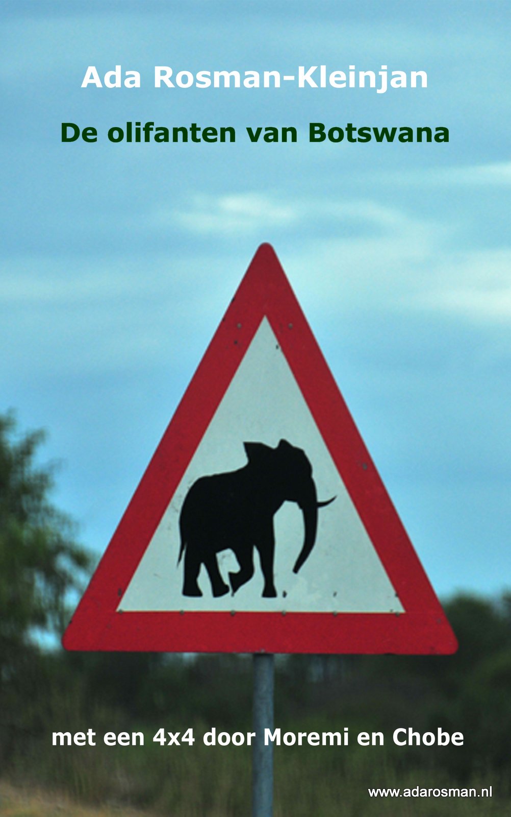
Reisverhaal De olifanten van Botswana | Ada Rosman

Met een vierwielaangedreven (4×4) auto door de parken van de Okavango Delta in Botswana. Ada en Jan Rosman reisden door het Moremi Game Reserve en Chobe National Park. De auteur en haar echtgenoot maakten een reis door het noorden van Botswana. Vanuit Windhoek reden ze over prima asfalt, waar ezels, geiten en koeien medeweggebruikers zijn naar Botswana. In Maun werden de tanks volgegooid, extra proviand en water, erg veel water ingeslagen. Eenmaal aangekomen in de Okavango Delta werd het asfalt ingeruild voor diepe zandwegen, maakten de ezels, koeien en geiten plaats voor overstekende olifanten, rondslenterende zebra’s, statige giraffen, koninklijke leeuwen en brutale apen. In dit deel van Afrika zijn de dieren de baas en heeft de reiziger zich aan te passen.


In de auto, voorzien van een kampeeruitrusting en daktent, legde het echtpaar duizenden kilometers af. Via de Caprivistrip en een bezoek aan het Etosha park werd de auto in Windhoek weer ingeleverd. Jan en Ada hadden al 6 keer een reis door zuidelijk Afrika gemaakt, altijd in een ‘gewone’ auto. Het werd langzaamaan tijd voor een reis in een 4WD en dan is Botswana een meer dan fantastische bestemming.


schitterende kleurenomslag siert dit reisverslag

10 pagina’s met kleurenfoto’s zijn te vinden in het reisverslag

92 pagina’s telt dit reisverslag

duidelijke landkaart staat ook in dit reisverslag

literatuurlijst vind je ook in dit reisverslag


€ 12.50
Wandelkaart 063 Monte Baldo - Malcesine - Garda | Tabacco Editrice

De beste wandelkaarten voor de Dolomieten. Zeer veel topografische details met secure hoogtelijnen (25 meter interval), helder kleurgebruik en bijna alle Tabacco kaarten hebben een UTM grid (voor GPS toepasbaar).


Daarnaast zijn op deze wandelkaarten wandelroutes ingetekend met nummering gelijk aan markering onderweg aangebracht door de lokale bergsportvereniging. De zwaarte van de routes wordt duidelijk door het verschil in markering. Uiteraard worden de Alta Via routes vermeld en ingetekend, alsmede de Via Ferrata waar je met behulp van stalen ladders verder komt dan de gewone wandelaar.


Als extra informatie worden met symbolen 6 verschillende typen accommodatie aangeduid van berghut, hotel tot camping. Bushaltes, stoeltjesliften en kabelbanen ontbreken niet.


Dorpen, bergen en dalen: 


Malcesine, Limone sul Garda, Garda, Torri del Benaco, Tignale, Tremosine, Campione del Garda, Avio, Peri, Fosse, Caprino Veronese, Ferrara di Monte Baldo, Bardolino, San Zeno


€ 11.95
Fietskaart 152 Mallorca | Publicpress

Geplastificeerde fietskaart van Mallorca. Met ondermeer ingetekende routes, een overzicht van bezienswaardigheden, informatie over de Spaanse verkeersregels en fietsverhuur. 


Mallorca ist ein echtes Radfahrerparadies mit zahlreichen Radstrecken, die als Rund- und Streckentouren mit verschiedenen Schwierigkeitsgraden auf die Mittelmeerinsel locken. Die viersprachige Karte informiert über Wissenswertes wie Helmpflicht, Art der Beschilderung sowie Sehenswürdigkeiten.


Discovering the island by bike is an ideal way of getting to know Mallorca well away from mass tourism. Besides listing the most interesting sights, the map gives information about spanish traffic rules, mountain-biking, bicycle transport and hire and more.

€ 13.50
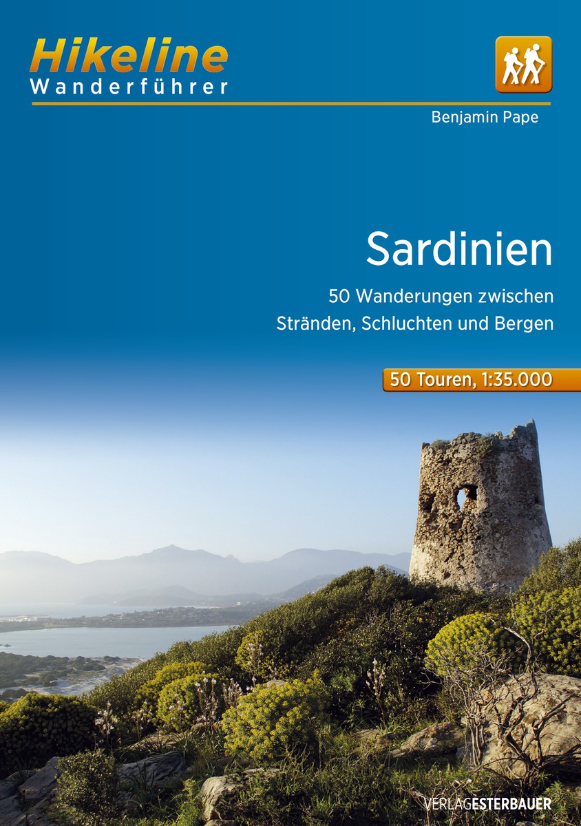
Wandelgids Hikeline Sardinië - Sardinien | Esterbauer

Handzame gids met een goede beschrijving van een groot aantal dagtochten in dit gebied. 

Das vorliegende Buch beschreibt 50 Touren in allen Gebieten der Insel, konzentriert sich jedoch primär auf die attraktiven und mit einer minimalen Tourismus-Infrastruktur ausgestatteten Berg- und Hügelregionen. Sardinien ist eine Flächeninsel, auf der die Tourismusgemeinschaften häufig erstaunlich lange Streckentouren ausweisen. Wir haben großen Wert auf eine geringe Zahl an Stichtouren und eine Mehrheit von Rundtouren gelegt. Die Touren sind deshalb meist über 10 bis zu 19 Kilometer lang und beinhalten, abgesehen von einer reinen Talwanderung, 150 bis 800 Steigungsmeter, so dass vom Spaziergang zur ausgewachsenen Ganztagswanderung für jeden etwas dabei ist. Soweit möglich, enthalten die Tourbeschreibungen Hinweise zur Anfahrt mit öffentlichen Verkehrsmitteln und die nächstgelegenen – manchmal aber bis zu 15 km entfernten – Einkehrmöglichkeiten. Zur logischen Gliederung wurden die Touren in vier Teilgebiete sortiert. Die Gebiete entsprechen den Hauptgebirgsketten der Insel von Norden nach Süden: Die Touren 1 bis 14 behandeln fast die gesamte Nordhälfte der Insel, nördlich der Linie Oristano-Nuoro-Orosei gelegen. In diesem Inselteil finden Sie Touren in der Gallura, am Monte Acuto und Monte Limbara, aber auch an diversen Kaps der touristisch sehr interessanten Küste. Der relativ kleinen, für den Wandertourismus aber höchst attraktiven Region des Supramonte-Massivs sind die Touren 15 bis 24 gewidmet. Direkt westlich davon schließt sich das „Dach der Insel“, das Gennargentu-Massiv mit den hochinteressanten Barbagia-Hochebenen an, das mit den etwas außerhalb liegenden Vulkanbergen zum dritten Tourgebiet mit den Wanderungen 25 bis 35 zusammengefasst wurde. Das vierte Gebiet mit den Touren 36 bis 50 beinhaltet die drei südlichen, voneinander durch Tiefebenen getrennten Gebirgszüge: der Monte Linas und die Monti Sulcis bilden gemeinsam die historische Region Sulcis-Iglesiente im Südwesten Sardiniens, während im Südosten die Sette Fratelli-Berge den höchsten und interessantesten Teil des Hügellands darstellen.

€ 9.99
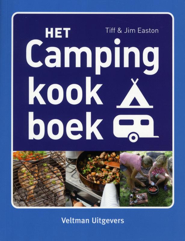
Kookboek Het campingkookboek | Veltman

Boordevol heerlijke recepten voor avontuurlijk kamperen - of u nu een weekendje weggaat, op het strand kampeert, een festival bezoekt of kampeert met een grote groep.


85 gerechten die geschikt zijn voor de hele familie en die allemaal bereid kunnen worden op een gasbrander, een barbecue en een open vuur.


Supereenvoudige aanwijzingen, boodschappenlijstjes en tips om optimaal te genieten van het buitenshuis koken.

Abonneer op