This is a double sided and illustrated, folded map sheet of 'Upper Myanmar' - including a detailed city map of Mandalay. The map sheet is more than just a map, heavily illustrated with 49 colour photos and it includes useful information for the traveller - both before and during a visit.
€ 14.95
€ 14.95
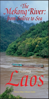
Laos has been discovered. For centuries this land-locked country in southeast Asia was a sleepy, almost forgotten little principality, sometimes wielding great power but mostly fighting for survival against predatory neighbors. It survived the American Indochina War and emerged as a progressive socialist country. This remote, mountainous country, protected from the ravages of tourism and rapid development, remains pristine and exotic. Laos is still green; its rivers mostly run free. But if you want to see the old Laos you have to move fast. Lovely Laos is located at the heart of romantic Indo-Chine. A precious pearl of a country blessed with natural beauty, exotic flora and rare fauna, Laos also hosts the mighty Mekong river for the larger part of its almost 5,000 kilometre journey from the Tibetan Plateau to the distant sea. Whether you chose to travel Laos by land or by water or both, this illustrated map will enhance your journey both as a pre-trip planner and as a post-trip souvenir, and ensure that you see Laos' lesser known attractions whilst pointing you towards the highlights that include the capital Vientiane, the Khone Phapheng Falls, the World Heritage site at Vat Phou, and the fragile gem of the ancient royal capital, Luang Prabang.
€ 13.95
Een degelijke wegenkaart met aanduidingen van o.a. nationale parken, vliegveld, benzinepomp, dirt-roads. Als overzichtskaart goed te gebruiken.
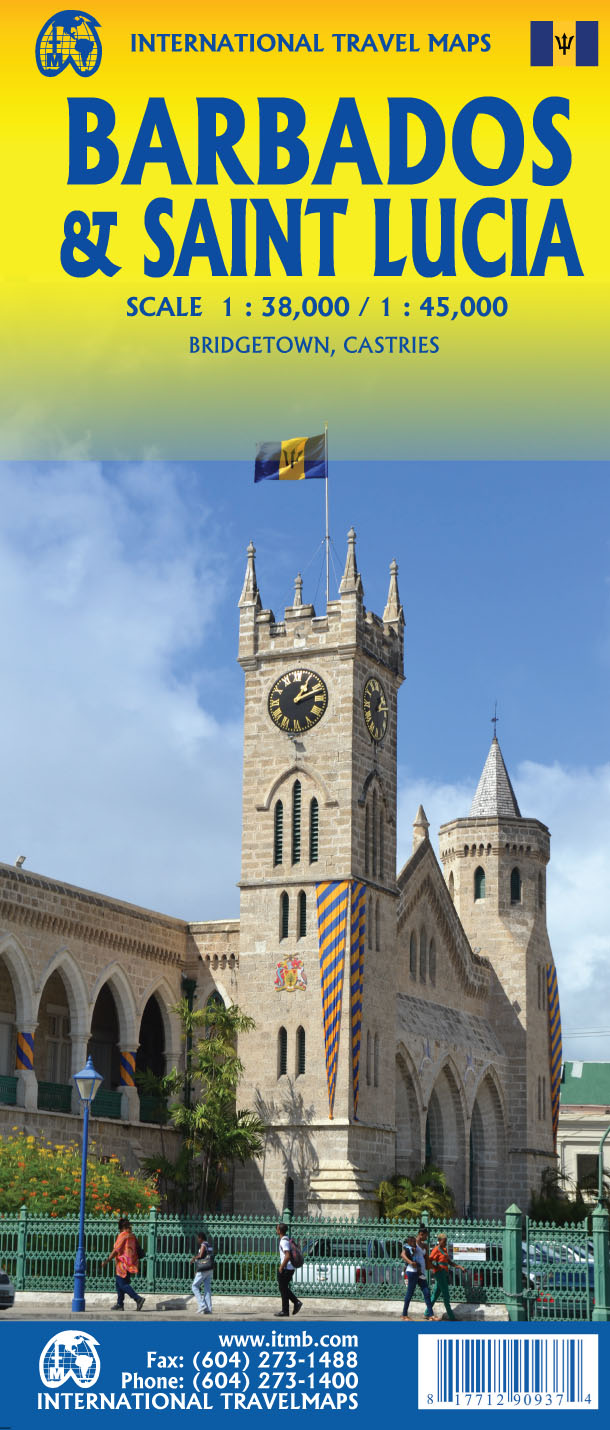
Thanks to satellite imagery, we are now able to re-introduce a completely new map of this popular travel destination at an excellent scale, with an inset map of Bridgetown, using our own digital data base files. In addition to showing the roads that criss-cross the island and lead to such interesting villages as Glebe Land, Mile and a Quarter, and Mose Bottom, the map shows all known resort hotels, beaches, dive sites, and historic country manor houses. Barbados is a very friendly island, with its historic capital of Bridgetown providing a ‘touch’ of old Britain, while providing the best shopping in the Caribbean. Printed on paper, single-sided.
€ 18.95
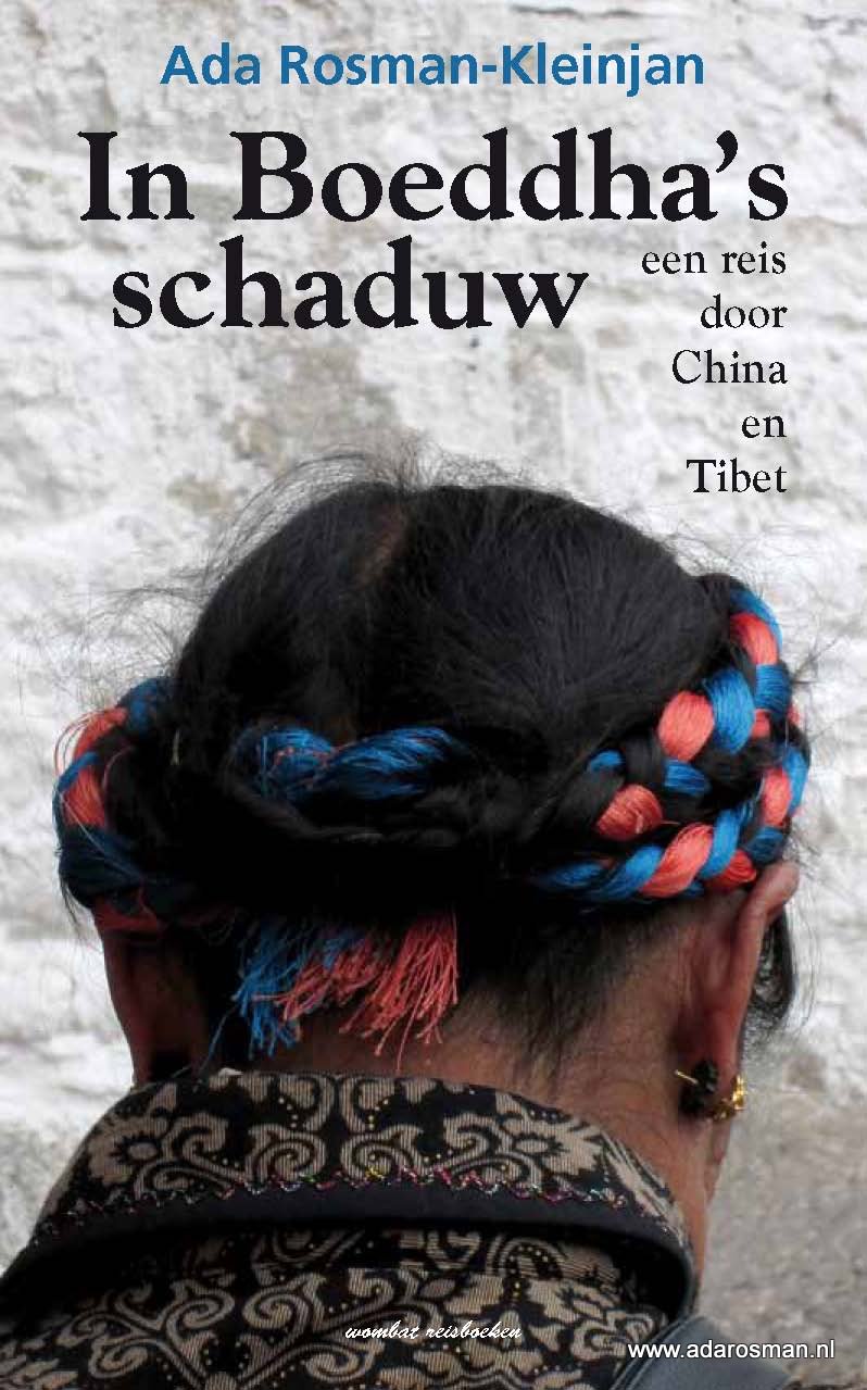
China en Tibet. Ada Rosman-Kleinjan reist samen met haar man Jan Rosman af naar deze twee landen in Azië. De reis begint in Hongkong, om vanuit deze miljoenenstad door te reizen naar het Karstgebergte in het zuiden van China. Vervolgens gaan Ada en Jan met het vliegtuig naar Chengdu waar het Panda Onderzoekscentrum staat én het vliegtuig dat het echtpaar naar Lhasa, de hoofdstad van Tibet brengt. Tibet: in geen enkel opzicht te vergelijken met China. De hoofdstad Lhasa, met het imponerende Potalapaleis en de vele kloosters en tempels. Samen met een gids en chauffeur reist het echtpaar naar het basecamp van de Mount Everest. Letterlijk en figuurlijk een adembenemende autoreis over de Vriendschapsweg.
Met de Hemeltrein gaat de reis verder naar Xi’an waar zij onder ander het Terracotta leger bezoeken. In de authentieke, ommuurde stad Pingyou is het heerlijk fietsen, slenteren en genieten voordat de reis verdergaat naar Datong. Datong waar zij het Hangende Klooster en de duizenden Boeddha’s in de Yungang grotten bewonderen. De reis eindigt in de hoofdstad Beijing; een stad om dagenlang in te verdwalen. Een stad vol tegenstellingen: de oude hutongs, moderne tienbaanswegen, het stalen Vogelnest van de Olympische Spelen en het allergrootste, door mensenhanden gebouwde, bouwwerk ter wereld: De Chinese Muur.
176 pagina’s bevat dit reisverslag
12 pagina’s met kleurenfoto’s kleuren dit reisverslag
schitterende kleurenomslag siert dit reisverslag
duidelijke landkaart staat natuurlijk in dit reisverslag
uitgebreide literatuurlijst maakt dit reisverslag compleet
€ 20.95
A guidebook to the Cumbria Way, a 73-mile long distance path through the heart of the English Lake District from Ulverston to Carlisle. The route is largely low-level, and accessible to new trekkers, but this guide offers alternative mountain days to climb some of the famous fells en route.
The guide divides the route into 5 stages of between 12 and 16 miles, but there is plenty of opportunity to plan your itinerary for a more easy-going 7 to 8 days. The Lake District is a walkers paradise, and there is no better way to experience the fells, lakes and woodlands of the Lake District than by trekking through their midst.
This guidebook also provides useful information for every stage, from accommodation to available facilities en route, as well as an annotated OS map and details on points of interest. The result is a guidebook that enhances a walk on the Cumbria Way, as well as providing the walker with the tools to complete the trek.
Steden en Dorpen
Ulverston, Torver, Coniston, Elterwater, Great Langdale, Rosthwaite, Keswick, Bassenthwaite, Caldbeck, Dalston and Carlisle
€ 25.50
To the modern reader, the Silk Road conjures up images of fabled cities and exotic lands, of long-gone empires and great conquerors. Place names such as Samarkand, Bukhara, Khotan or Chang'an continue to fascinate with the richness of their past. In this authoritative book, Luce Boulnois explores the encounter between East and West across the vast continental expanse that separates the Mediterranean world from the Chinese one. She unravels in a clear and compelling way the complex threads that make up the history of these great overland trade routes, which allowed the transmission across the world of ideas and beliefs, techniques and works of art, helping to shape the civilizations that flourished along the way.
How did the Romans, following in the footsteps of the Greeks, discover these far-flung regions? What did the Chinese know of the European world? How did they manage to keep the secret of silk manufacture safe for centuries? Did Marco Polo really go to China, or was he just a clever impostor? In navigating through these questions, Luce Boulnois enlightens us about the relationship between the East and the West and their influence on each other in the light of the latest archeological discoveries, while also taking into account the recent geopolitical upheavals that have swept through these regions. This book meets academic requirements while remaining as readable as a novel.
Luce Boulnois has poured a lifetime of prodigious, passionate scholarship into this seminal book. She explores the encounter between East and West across the vast continental expanse that separates the Mediterranean world from the Chinese one. She unravels in a clear and compelling way the complex threads that weave the history of great overland trade routes, which allowed the transmission of ideas and beliefs, techniques and works of art, helping to shape the civilizations that flourished along the way. She loves silk, its history, and all its paths to Europe. But the importance of Central Asia is not just a thing of the past, and the author discusses its significance in the modern world in cultural and geopolitical terms, including the implications of the most recent events taking place there.
For the armchair traveler or the adventurous trail blazer, this "pièce de résistance" of Silk Road literature is guaranteed to satisfy.
€ 9.95
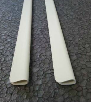
2 witte kunstof strips van 82,5 cm waarmee je op een eenvoudige manier wandkaarten onbeschadigd kan ophangen.
De strips zijn met een ijzerzaag makkelijk op de juiste maat te zagen. Schuif een strip aan de boven- en onderkant van de wandkaart. Vervolgens is het met de bijgeleverde haakjes een koud kunstje om de kaart op te hangen waar je maar wilt.
Deze posterstrips zijn uitermate geschikt voor de Scratch Map Deluxe Edition van Luckies.
€ 25.95
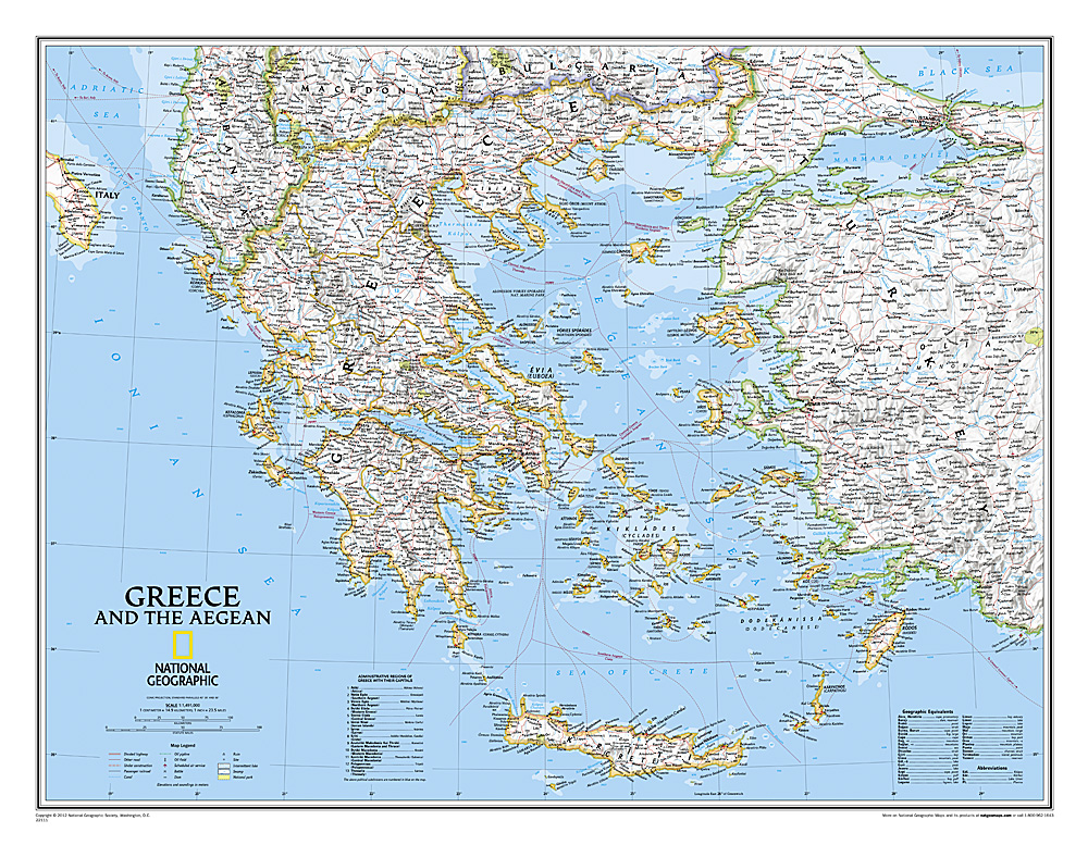
Decoratieve wandkaart van Griekenland. Naast de mooie kleuren staan er bijzonder veel plaatsen op vermeld.
The classic National Geographic wall map of Greece shows this beautiful area in uncompromisingly accurate detail. The map includes political boundaries, cities and towns, bodies of water, major roadways, airports, and many other geographic details
€ 347.50
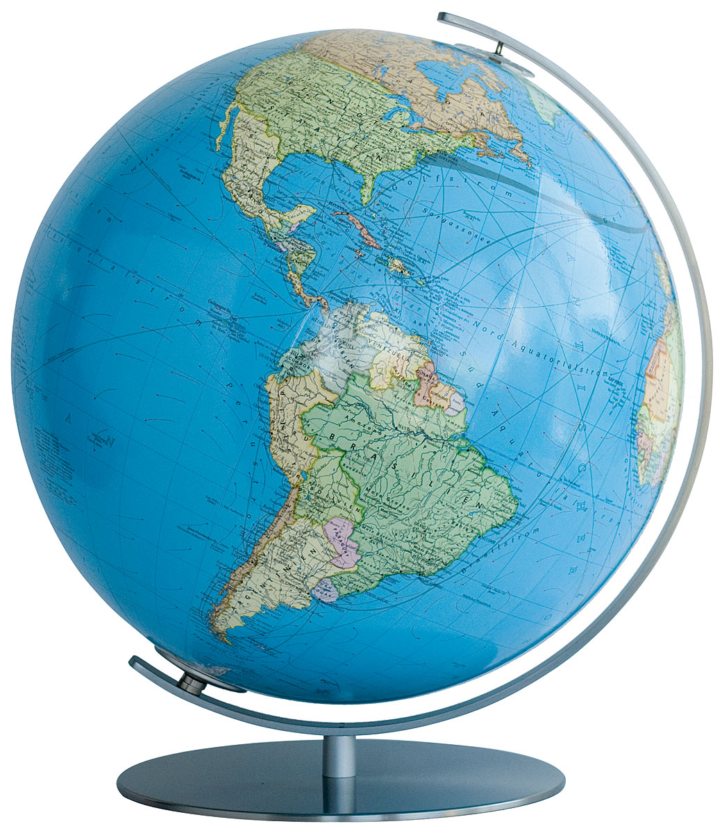
Na vele drukgangen krijgt het kaartbeeld zijn uiteindelijke vorm en ontstaat er een globe die in detail zijn gelijke niet kent. In onverlichte toestand is het kaartbeeld natuurkundig en wordt staatkundig zodra de verlichting aan gaat en de verschillende landen naar voren komen.
Bol is van acrylglas en heeft een diameter van 34 cm. Voet en meridiaan zijn van edelstaal. Elektradraad extern.
€ 347.50
Na 28 drukgangen krijgt het kaartbeeld DUO zijn uiteindelijke vorm en ontstaat “de Koning” onder de globes. In onverlichte toestand zijn de verschillende landen zichtbaar en is het beeld staatkundig. Met het licht aan toont de bol zijn natuurkundige gezicht waarbij het reliëf op werkelijk schitterende wijze naar voren komt.
Bol is van acrylglas en heeft een diameter van 34 cm. Voet en meridiaan zijn van edelstaal. Elektradraad extern.


