€ 14.95
Reisgids Culture Smart! USA | Kuperard

De Culture Smart!-gids geeft toeristen en zakenlieden belangrijke informatie met betrekking tot de cultuur van alledag in het land van bestemming. Anders dan in de gebruikelijke reisgidsen wordt de lezer in deze reeks bijgespijkerd op het gebied van omgangsvormen, normen en waarden, hoe zich te gedragen en wat verwacht mag worden op zakelijk en sociaal gebied. Het zijn beknopte zakformaatgidsen met interessante wetenswaardigheden over het dagelijks leven. Een must voor iedereen die naar het buitenland gaat voor vakantie, studie of werk.

Have a more meaningful and successful time abroad through a better understanding of the local culture. Chapters on values, attitudes, customs, and daily life will help you make the most of your visit, while tips on etiquette and communication will help you navigate unfamiliar situations and avoid faux pas.


Who can afford not to understand the USA? Underneath the gleaming smile of American popular culture lies a rich and complex society that brims with contrasts and contradictions. It is a culture of rugged individualism, of go-getters, of high-tech high achievers. At the same time it is a deeply religious country with a quiet devotion to church and charitable works. This new edition of Culture Smart! USA reveals a society in transition. In an increasingly polarized political and cultural climate, and with an ever-widening gap between the haves and the have-nots, the rise of social media has given more Americans a voice. As Americans wake up to a changing world where their global economic dominance is no longer assured, attitudes and behaviors are being challenged and reassessed across the land. Culture Smart! USA takes you on a tour of the core influences and ideals that have shaped this great country and have driven the behavior and attitudes found on Main Street and in the workplace. It looks at Americans at work, at home, and at play, and provides the visitor with an up-to-date cultural road map of this dynamic, multifaceted society.

€ 24.50
Reisgids Reiseführer Südkorea - Zuid Korea | Trescher Verlag

Goede Duitstalige reisgids met veel culturele beschrijvingen. Daarnaast ook aandacht voor praktische zaken als overnachten en rondreizen. Bijzondere duitse uitgever, vaak als eerste een boek over een bepaald gebied of land.

Der Reiseführer SÜDKOREA aus dem Trescher Verlag stellt alle Sehenswürdigkeiten des vielfältigen Landes vor und bietet umfangreiche Informationen zu Geschichte, Kultur und aktuellen Entwicklungen. Zahlreiche Tipps zu Reisewegen, Unterkünften für jeden Geldbeutel, Reisen mit Kindern und regionalen Spezialitäten erleichtern die Reiseplanung.Südkorea fasziniert vor allem durch seine Gegensätze. Das "Land der Morgenstille" hat sich vielerorts seine Traditionen bewahrt. Das kulturelle Erbe können Besucher in schön gelegenen Tempelanlagen, in ausgezeichneten Museen, in Volkskundedörfern oder in der zum UNESCO-Weltkulturerbe erklärten Stadt Gyeongju erkunden. In der geschäftigen Metropole Seoul lässt sich das moderne Korea bestaunen, das sich in kürzester Zeit zu einer wichtigen Wirtschaftsnation entwickelt hat.Zahlreiche Naturschönheiten locken Besucher an: Vom Seoraksan-Nationalpark mit seinen bizarren Felsformationen bis zur subtropischen Landschaft der Insel Jeju reicht die Palette. Der Reiseführer SÜDKOREA, in 5. Auflage im Trescher Verlag erschienen, stimmt mit zahlreichen Fotos sowie Empfehlungen für Wandertouren und Ausflüge auf einen Südkorea-Urlaub ein. Südkorea verfügt über eine hervorragende touristische Infrastruktur, Reise- und Anfahrtswege sind im Buch ausführlich beschrieben. Viele Stadtpläne und Übersichtskarten erleichtern die Orientierung vor Ort.>>> Weitere Reiseführer zu Ostasien finden Sie auf der Website des Trescher Verlags


€ 9.99
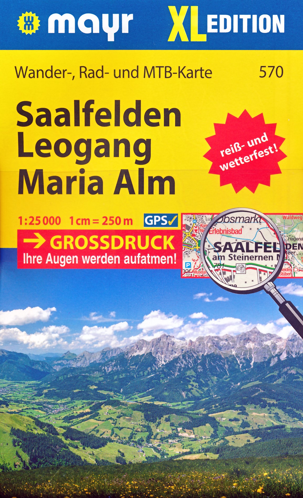
Wandelkaart 570 XL Saalfelden - Leogang - Maria Alm | Mayr

Wandelkaart met ingetekende wandel- en fietsroutes (mountainbike). Met toeristische bezienswaardigheden en andere belangrijke topografische informatie. Aanduiding van berg- en schuilhutten en duidelijk herkenbare gevaarlijke wandel- en fietsroutes. Deze kaart is geplastificeerd.


Die Titel der XL Edition aus dem Walter-Mayr-Verlag präsentieren die schönsten Urlaubsregionen

- auf zwei Kartenseiten in reiß-und wetterfester Papierqualität

- im Maßstab 1:25.000 mit Großdruck

- GPS-genau


Informationen die der Wanderer, der Radfahrer oder der Skitourengeher benötigt finden Sie in Walter Mayr Wanderkarten, genau so wie Highlights abseits des Wegesrandes.

€ 9.99
Wandelkaart 456 XL Brixental | Mayr

Wandelkaart met ingetekende wandel- en fietsroutes (mountainbike). Met toeristische bezienswaardigheden en andere belangrijke topografische informatie. Aanduiding van berg- en schuilhutten en duidelijk herkenbare gevaarlijke wandel- en fietsroutes. Deze kaart is geplastificeerd.


Die Titel der XL Edition aus dem Walter-Mayr-Verlag präsentieren die schönsten Urlaubsregionen

- auf zwei Kartenseiten in reiß-und wetterfester Papierqualität

- im Maßstab 1:25.000 mit Großdruck

- GPS-genau


Informationen die der Wanderer, der Radfahrer oder der Skitourengeher benötigt finden Sie in Walter Mayr Wanderkarten, genau so wie Highlights abseits des Wegesrandes.

€ 9.99
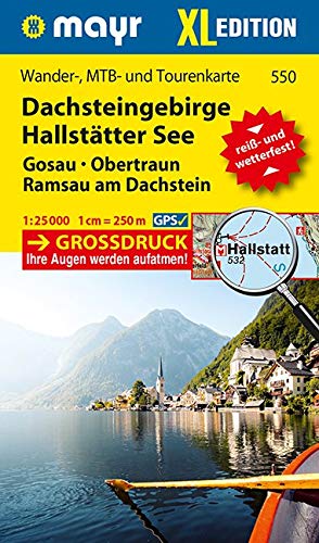
Wandelkaart 550 XL Dachsteingebirge en Hallstätter See | Mayr

Wandelkaart met ingetekende wandel- en fietsroutes (mountainbike). Met toeristische bezienswaardigheden en andere belangrijke topografische informatie. Aanduiding van berg- en schuilhutten en duidelijk herkenbare gevaarlijke wandel- en fietsroutes. Deze kaart is geplastificeerd.


Die Titel der XL Edition aus dem Walter-Mayr-Verlag präsentieren die schönsten Urlaubsregionen

- auf zwei Kartenseiten in reiß-und wetterfester Papierqualität

- im Maßstab 1:25.000 mit Großdruck

- GPS-genau


Informationen die der Wanderer, der Radfahrer oder der Skitourengeher benötigt finden Sie in Walter Mayr Wanderkarten, genau so wie Highlights abseits des Wegesrandes.

€ 24.99
Fietsgids Vlak fietsen in de Ardennen en Wallonië | Sterck - de Vreese

Met de fiets kom je op plekken waar je anders niet komt! Dit boek neemt je mee langs 13 routes die onder meer gebruik maken van de RAVels, de paden langs oude spoorwegen en jachtpaden. De trajecten zijn zo uitgedokterd dat alle wegen vrijwel vlak zijn, zodat iedereen ze makkelijk kan fietsen. Je ontdekt de mooiste plekjes met intrigrerende verhalen, de leukste cafeetjes en restaurants en krijgt ook tips voor originele overnachtingen. De routes lenen zich perfect voor een fietsvakantie van enkele dagen of voor een mooie daguitstap. De dagtrajecten zijn zo uitgestippeld dat je – waar mogelijk - eindigt aan een treinstation zodat je met je fiets op de trein terug kan reizen naar de beginbestemming.

13 heldere uitneembare kaarten met bijhorende GPS-coördinaten begeleiden je feilloos langs de route. De handleiding voor een heerlijke trip door het prachtige landschap en cultureel erfgoed van De Ardennen en Wallonië. Kristien Hansebout ademt toerisme. Met haar bedrijf Parkoers heeft ze zich gespecialiseerd om op maat fietsroutes te ontwikkelen voor een optimale beleving van de regio. Ze is verzot op Wallonië!

€ 15.95
Natuurgids Alpine Flowers - bloemengids Alpen | Cicerone

Handzame flora-gids van de meest voorkomende bloemen en planten in de Alpen. Met foto's en goede tekst wordt veel duidelijk, al zal het niet eenvoudig zijn om alles goed te determineren. 

This pocket field guide to identifying 230 common Alpine flowers is packed with all the information you need to recognise your favourites while out in the mountains. Designed for the non-specialist, this little handbook is arranged by colour and also includes a glossary of flower parts and an introduction which describes the amazing lengths that these tiny gems go to to survive at altitude. Alpine expert author Gillian Price says: 'It never ceases to amaze me that such tiny plants can spend months on end buried under metres of snow and ice - weathering temperatures as low as minus 25°C - then sprout back to life when things thaw out and warm up. In springtime you can spot the fragile purple petals of the Alpine Snowbell pushing their way through snow - they contain an anti-freeze that enables them to melt it. Masters of adaptation and survival, alpine flowers can trap insects, store precious water, expel excess minerals and fool insects.' Each flower entry includes a clear photograph and essential description along with its name in English, Latin, German, French and Italian and interesting information about the origins of some of the more curious flower names. Each one is also indexed by its English and its Latin name so you can follow up a hunch about a name or find out more about a flower.

€ 23.95
Wandelgids Shorter Treks in the Pyrenees | Cicerone

Uitstekende wandelgids van dit geweldige gebied. Goed beschreven met veel praktische informatie om de route te kunnen lopen, inclusief redelijke kaarten.

A guidebook to seven circular treks exploring the Pyrenees of France and Spain. Seven 1 or 2 week routes in dramatic mountain scenery, including the Pic du Midi d'Ossau, Vignemale, Ordesa Canyon, Gavernie, Puigmal and Canigou. Using mostly waymarked mountain paths, with some boulderfield or easy scrambling, the treks are designed with accommodation in mountain refuges or mountain villages at the end of each stage, though there are plenty of options to camp for those who prefer to backpack.

Detailed descriptions for each stage of the route are accompanied by sketch maps and elevation profiles, and there are notes on planning, equipment and access.

The Pyrenees stretch 400km from Atlantic to Mediterranean, forming a barrier rising to over 3000m between France and Spain. The steep rolling hills of the Basque Country give way to the spectacular alpine peaks and passes of the High Pyrenees and the gentler mountains of eastern Catalonia. With variants and options for shortening the route, or adding the ascent of nearby peaks, the treks featured in the guidebook are a perfect base for discovering this magnificient and varied mountain range.

Steden en Dorpen

Basque Country, Catalonia, Parc National des Pyrénées, Gavarnie, Ordesa


€ 18.50
Wandelgids The Peddars Way and Norfolk Coast Path | Cicerone

Uitstekende wandelgids van de Peddars Way en de Norfolk Coast Path, waarbij naast alle noodzakelijke informatie ook gebruik gemaakt wordt van de echte topografische kaart.

The Peddars Way and Norfolk Coast Path National Trail is an easy-to-follow 130-mile trail that combines the best of inland and coastal walking in Norfolk, and one that, being well waymarked, largely flat and within easy reach of public transport for most of its length, is ideal for people new to long-distance walks.


Described here in 11 stages, the route can be walked in just over a week but also easily split into day walks or over a series of weekends, with full information about access to start and finish points for each stage by public transport. This handy guidebook is illustrated throughout with extracts of OS 1:50,000 mapping and stunning photographs depicting the Trail in all seasons and describes points of interest along the way, including the Nofolk Songlines sculptures, and also facilities available in the towns and villages.


The trail is a walk of two halves. The Peddars Way begins at Knettishall Heath in Suffolk and follows the route of an old Roman road for over 40 miles to Holme-next-the-Sea, where it meets the Norfolk Coast Path (which begins nearby, at Hunstanton). This then follows the spectacular north Norfolk coast to the seaside town of Hopton-on-Sea.


Steden en Dorpen

Knettishall, Little Cressingham, Castle Acre, Snettisham, Hunstanton, Brancaster, Wells next to the Sea, Blakeney, Sheringham, Cromer, Mundesley, Sea Palling and Great Yarmouth

Abonneer op