Complete duidelijke fietskaart . Op scheur- en watervast papier staan de fietsroutes helder ingetekend. Daarnaast praktische informatie als campings , fietsenmakers, bezienswaardigheden en topografische details. Veel wordt met symbolen aangeduid. De schaal is goed: 1:70.000 is uitermate geschikt voor fietstochten.
Die Fahrradkarte die alles kann, das bedeutet:
- übersichtliche Kartografie, detailgenaue Infos zu Wegbeschaffenheit und Verkehrsbelastung
- handliches Format
– passend für den Radkartenhalter
- Reichweitenassistenten: Reicht der E-Bike-Akku? Easy Touren-Planung mit dem KOMPASS-Reichweitenassistenten.
- Steigungspfeile: Bergauf oder bergab? Die Steigungspfeile zeigen’s auf einen Blick.
- Gratis-GPX-Tracks: Immer wissen, wo man ist: Mit den Gratis-GPXTracks zum Download auch digital mobil sein.
- Extra-Stadtpläne: Mit den extra-detaillierten Stadtplänen keine Sehenswürdigkeit verpassen — und keinen Biergarten.
- Unser reiß- und wetterfestes Papier ist ideal für jede Witterung, spiegelt nicht und ist beschreibbar. Die Fahrradkarte, die alles kann — auch für eBiker
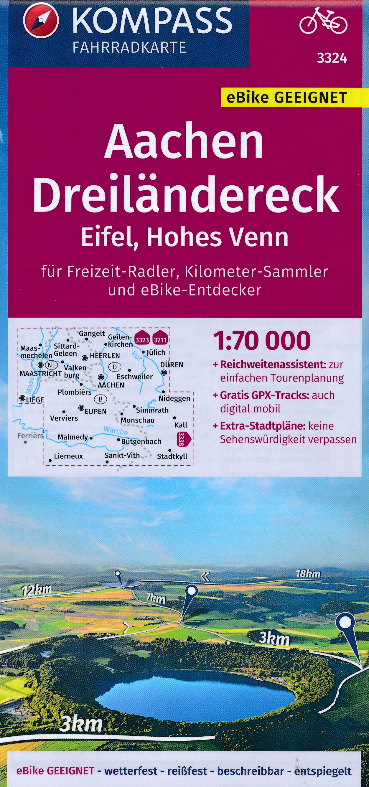
Die KOMPASS Fahrradkarten im Maßstab 1:70 000 hat alle Extras die ein echter Radler braucht: Reichweitenassistent, Steigungspfeile, Gratis-GPX-Tracks und Extra-Stadtpläne und ist dabei noch wetterfest, reißfest, beschreibbar und entspiegelt. Alle neuen KOMPASS-Fahrradkarten kommen mit komplett überarbeiteten und perfekt aufgeteilten Blattschnitten. Angepasst an die Bedürfnisse des Bikers von heute ist das Kartenbild überarbeitet und aktualisiert. Die neue KOMPASSFahrradkarte ist die Karte für alle Freizeit-Radler, Kilometer-Sammler und eBike-Entdecker. Die Karte hat alle Extras die ein echter Radler braucht: Reichweitenassistent, Steigungspfeile, Gratis-GPX-Tracks und Extra-Stadtpläne. Gedruckt in perfekter Qualitätet: wetterfest, reißfest, beschreibbar und entspiegelt. KOMPASS Karten Verlag – seit 1953 arbeiten wir daran Dich sicher an Dein Ziel zu bringen und neue Wege zu entdecken. Unsere Produkte sollen Dich begeistern und inspirieren. Wir wollen Dich mit der Leidenschaft anstecken, die wir an unserem Standort im Herzen der Alpen in Innsbruck, für die Natur und die Berge verspüren.