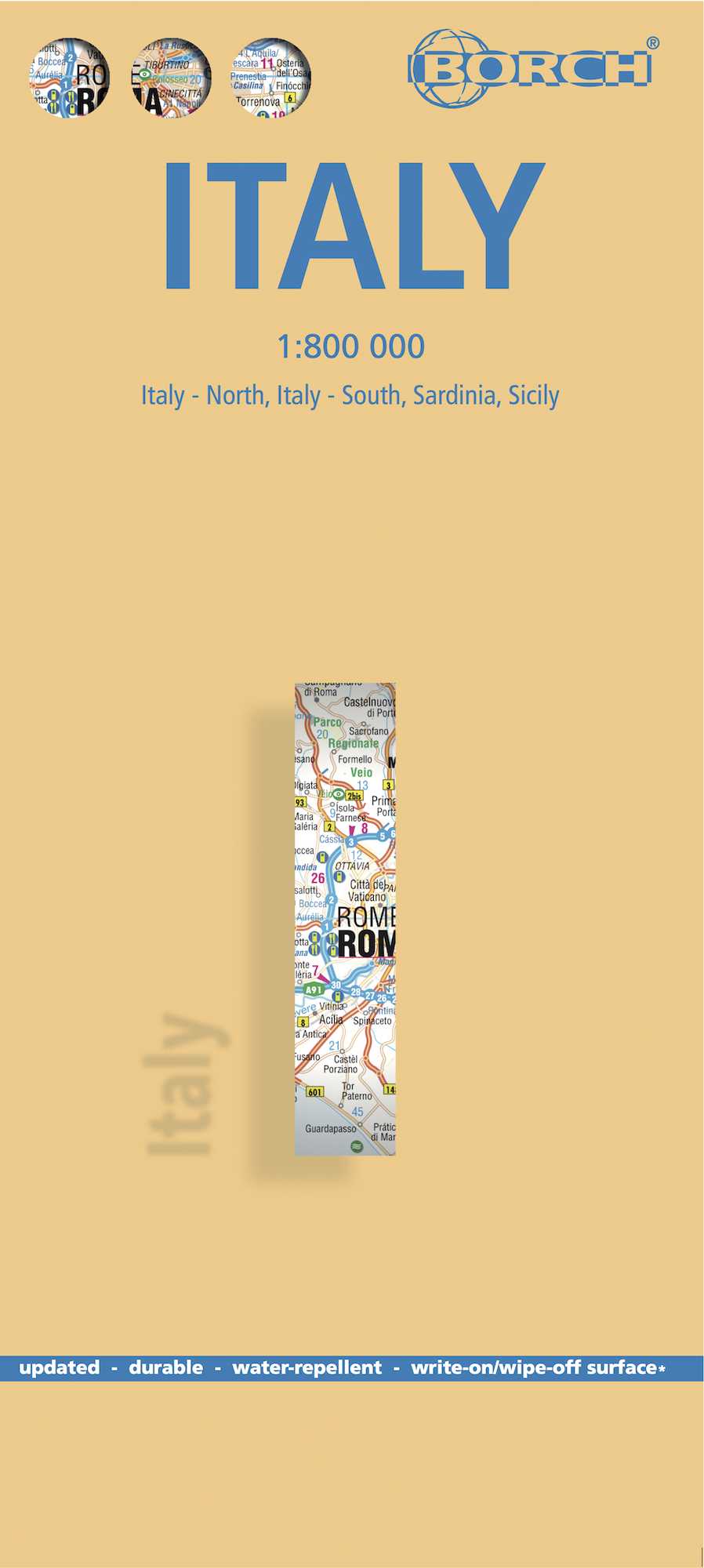
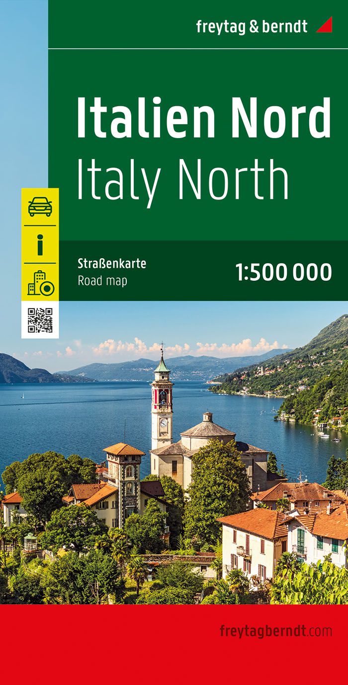
€ 26.95
Wandkaart Azië, politiek & antiek, 84 x 96 cm | National Geographic

Mooie wandkaart van Azië, staatkundig, met rustig kleurgebruik en helder kaartbeeld; deze kaart heeft een antieke uitstraling door gebruik van aarde-kleuren. Ondanks het wat kleine formaat staan er toch heel wat topografische details op vermeld. 


The map presents Asia at 1: 13,8120,000. Coverage includes the whole of the European part of Russia, extending up to the North Pole. In the south-east the island of New Guinea and the Bismarck Archipelago are shown as an inset. The base map has relief shading to show the continent’s topography, with additional graphics indicating deserts, swamps, glaciers, etc. The map shows the names of the numerous geographic features such as mountain ranges, deserts, peaks etc. Heights are given in feet. 


Country boundaries are in different colours and, where appropriate, disputed boundaries and territotial claims are marked. All place names are in English, except for some cities such as Bukhara, where the original name is shown first (Buxoro) with the English equivalent in brackets. 

€ 16.95
Wandelkaart 49 Garrotxa, zona volcanica | Editorial Alpina

Zeer gedetailleerde wandelkaart van een klein gebied. Met ingetekende wandelroutes en andere informatie. Spaanstalig, maar uitstekende kaart. Coordinaten zijn weergegeven, dus GPS compatible met UTM grid. 


Op de topografische wandelkaart worden o.a. berghutten, campings aangeduid en hoogtelijnen, ingetekende wandelroutes en de GR paden (doorgaande langeafstandswandelpaden). De kaart is inclusief een Spaanstalig boekje met extra informatie over aanwezige voorzieningen en enkele routes.


Gebied: Olot, Besalú, Mieres, Santa Pau, Sant Esteve d'en Bas, la Canya, Riudaura, Joanetes, els Hostalets d'en Bas, Sant Feliu de Pallerols, Tortellà, Sant Joan les Fonts, Argelaguer, Castellfollit de la Roca, Montagut, Volcà del Croscat, Sant Julià del Mont, Puig Sallanca, Volcà de Santa Margarida.


Book Language: Catalan, Spanish, English

•Hiking map and guidebook

•Scale 1:25.000

•Equidistance contours: 10 m distance

•Master contours: at 50 m

•Shady relief

•Compatible with GPS

•Marked routes

•Land use symbolized at three levels

•Guidebook with hikes, potholing, gully descent, climbing, mountain biking and all the facts of  interest

€ 18.50
Reisverhaal Land van grote eenzaamheid - Reisnotities over Ijsland | Gerrit Jan Zwier

IJsland is een land dat altijd tot de verbeelding heeft gesproken, zeker tot die van Nederlanders. In vroeger dagen berichtten alleen vissers en walvisvaarders, die bij slecht weer een goed heenkomen hadden gezocht in baai of fjord, over dit noordelijke eiland. Later waren het vooral natuurvorsers en sagaliefhebbers die het land verkenden. In onze tijd ontdekken steeds meer toeristen dat safari's niet alleen in Afrika maar ook op IJsland georganiseerd worden.

Een groot deel van IJsland is ongetemd en onherbergzaam. Ook aan de bewoonde kust kan de wereld er op een regendag grauw en verlaten uitzien. Maar wie last heeft van 'het noordelijk gevoel', zal altijd weer naar de barre kusten van het hoge noorden trekken, al was het maar om eens alleen te kunnen zijn in een woest en leeg heelal.

Op een levendige en persoonlijke wijze brengt Gerrit Jan Zwier in dit boek verslag uit van zijn reiservaringen.


'Zwier kijkt rond met de goeie ogen. Alleen daarom al mag geen enkele Scandinavië-freak of IJslandganger dit boek missen.' - Vrij Nederland


Over Het noordelijk gevoel:


'Het noordelijk gevoel is een onstilbaar verlangen om het onbestemde te bereiken, een tekort dat iedereen wel voelt, maar alleen door de romantici onder ons belangrijk genoeg geacht wordt om er een boek aan te wijden.' - De Morgen

€ 53.50
Fotoboek All 14 Eight-thousanders | Crowood

8000er Fotoboek met veel achtergrond tekst van Reinhold Messner over alle 14 achtduizenders: Everest, K2, Kangchenjunga, Lhotse, Makalu, Cho Oyu, Dhaulagri, Manaslu, Nanga Parbat, Annapurna, Gasherbrum I/Hidden Peak, Broad Peak, Gasherbrum II, Shisha Pangma.

This is a peak by peak account of perhaps the greatest achievement of mountaineer Reinhold Messner - the ascent of the world's 14 8000 metre peaks between 1970 and 1986. The fourteen chapters describe the difficulties, tragedies and ultimate successes of the ascent of each peak. In these pages is the voice of a man suffering -loneliness, despair, hallucinations, the deaths of his brother and friends - but triumphing in the end - and the voice of a man conquering the barriers set up by nature. Messner has redefined the possibilities of high altitude climbing: he effectively pioneered the Alpine style in big peak climbing; climbed Everest without oxygen when scientists said this was impossible; and climbed Everest solo.

€ 13.95
Wegenkaart - landkaart Turkije - Turkey | ITMB

Turkey is a fascinating country; so much potential, and seemingly unable to focus on progress as opposed to ideology. Touristically, the country is quite safe, but internal politics are as divided here as in Egypt (and seemingly every Muslim country) between secularists (if it is proper to call them that) who want a 'normal' country with a division between secular and religious affairs and those wanting a more traditional religious society where religious values shape the society. Our first edition sold out in a little more than a year, which is pretty amazing in itself, and we have made major improvements to this edition to maintain its popularity. The biggest change is that we have more strongly emphasized the major road network, as most visitors stay on the well-travelled routes around the country, rather than taking back roads to small villages. The second change has been to increase the font size for major urban areas, to make them easier to read. Turkey is a very large country geographically and there is no way cartographically to overcome the spatial relationships of the east-west stretch to the north-south relative shortness. If we have erred, it is on the side of detail, but for anyone driving around the country, such detail is essential. 


Legend Includes:

Roads by classification, Railways, Feery routes, Dams, Gas stations, Airports, Border crossings, National parks, Churches, church ruins, Monasteries, Mosques, Palaces or castles, Mountain peaks, Monuments, Waterfalls, Caves, Ruins, Campsites, Hotels, Motels, Youth hostels, Viewpoints, Points of interest and much more...

€ 13.95
Stadsplattegrond Salzburg | Freytag & Berndt

Stadsplattegrond met register. Helder kaartbeeld waarbij de naamgeving goed leesbaar is weergegeven. Met de toeristische bezienswaardigheden in symbolen weergeven: monumenten, musea, stadions e.a. Daarnaast handige zaken als postkantoren, parkeergarages en stations. Veelal ook met een openbaar vervoer of metro kaart als inzet

Explore Salzburg and surroundings, the city of Mozart, with this Freytag & Berndt street map. The best way to plan your trip, prepare your itinerary, and to travel independently in the capital of the Austrian Salzburg-Land.


The map includes a full index on the reverse side and tourist information and places of interest are clearly marked by a range of icons. There is also an inset map showing an enlargment of the city centre in better detail and another inset showing Salzburg and its environs.

€ 13.95
Stadsplattegrond Graz | Freytag & Berndt

Stadsplattegrond met register. Helder kaartbeeld waarbij de naamgeving goed leesbaar is weergegeven. Met de toeristische bezienswaardigheden in symbolen weergeven: monumenten, musea, stadions e.a. Daarnaast handige zaken als postkantoren, parkeergarages en stations. Veelal ook met een openbaar vervoer of metro kaart als inzet.

€ 299.00
Magneetbord 26M Wereldkaart, politiek & antiek, 117 x 76 cm | National Geographic

Een prachtige, stijlvol gekleurde kaart - bruin, antieke uitstraling - met een modern kaartbeeld. Alle landen staan er met grenzen en belangrijke steden keurig op, maar de nadruk ligt op de kleurstelling: deze is ‘ouderwets‘ en past goed in een klassiek interieur. Door het kleurgebruik is het reliëf van de bodem van oceanen goed te zien.


Het is de meest verkochte wereldkaart uit ons assortiment!


De kaart wordt in deze versie gelijmd op een plaat, voorzien van een mooie aluminium lijst en een ophangsysteem wordt meegeleverd. Daarnaast krijgt u een bakje bijgeleverd dat u er aan kunt bevestigen voor pennen, stiften of magneetjes.


Bij dit magneetbord wordt een set magneetjes (10 stuks) gratis meegeleverd


National Geographic is a renowned authority in cartography. For 120 years the Society's maps have helped spread geographic knowledge around the globe. A vast database allows National Geographic to combine the latest data gained by space-age technology with innovative digital mapping techniques to create state-of-the-art political, physical, and thematic maps. The Society's meticulous research and attention to detail have established a standard of achievement that is unparalleled.


A current political map that features our world in rich, earth-toned colors. Astounding detail and boardroom quality make this map excellent for reference in your home or office. Features the Winkel Tripel projection to reduce distortion of land masses as they near the poles

€ 8.95
Stadsplattegrond Linz | Freytag & Berndt

Een overzichtelijke stadsplattegrond met stratenindex (achterzijde) en aanduiding van toeristische informatie en culturele instellingen zoals musea, monumenten, schouwburgen en sportaccomodaties. Daarnaast bevaten de meeste kaarten een heldere aanduiding van het openbaarvervoer (opstappunten van bijvoorbeeld de metro, tram of bus), parkeergelegenheden, postkantoren en andere praktische informatie.

€ 11.50
Wegenkaart - landkaart USA Interstate | Borch

Mooie, overzichtelijke wegenkaart van de snelwegen in Amerika. Handig als je grote afstanden in het land moet afleggen.


Our soft-laminated folded map of the USA in the 9th edition shows: USA West, USA East, Hawaiian Islands, Puerto Rico each 1:4 000 000, Alaska 1:8 000 000, USA administrative & time zones. Borch Maps are easy to fold, durable and water-repellent with a wipeable surface. Borch Maps show hotels, museums, monuments, markets, public transport, top sights and points of interest, useful statistics, conversion charts for temperatures, weights and measurements, climate charts showing temperatures, sunshine hours, precipitation and humidity, overview maps, time zones, and much more...


"Get your motor running, head out on the highway"! The Interstate highway system (officially the "Dwight D. Eisenhower National System of Interstate and Defense Highways") authorized by the Federal Aid Highway Act of 1956 and supported by former US President Eisenhower who had been impressed by the German Autobahn system, is a network of roadways interconnecting the nation. It was originally intended as part of a national defense system by which goods and arms could be transported cross-country in case of a national emergency. Today the nearly 47 thousand miles (75,000 kilometers) of road are mostly used by vacationers, tourists and commuters. Nowadays it would be unthinkable to get by without the Interstate. From shore to shore, from border to border, the Interstate connects the whole country.


Abonneer op