Reisgids Piedmont - Piemonte - Valle d'Aosta | Blue Guides
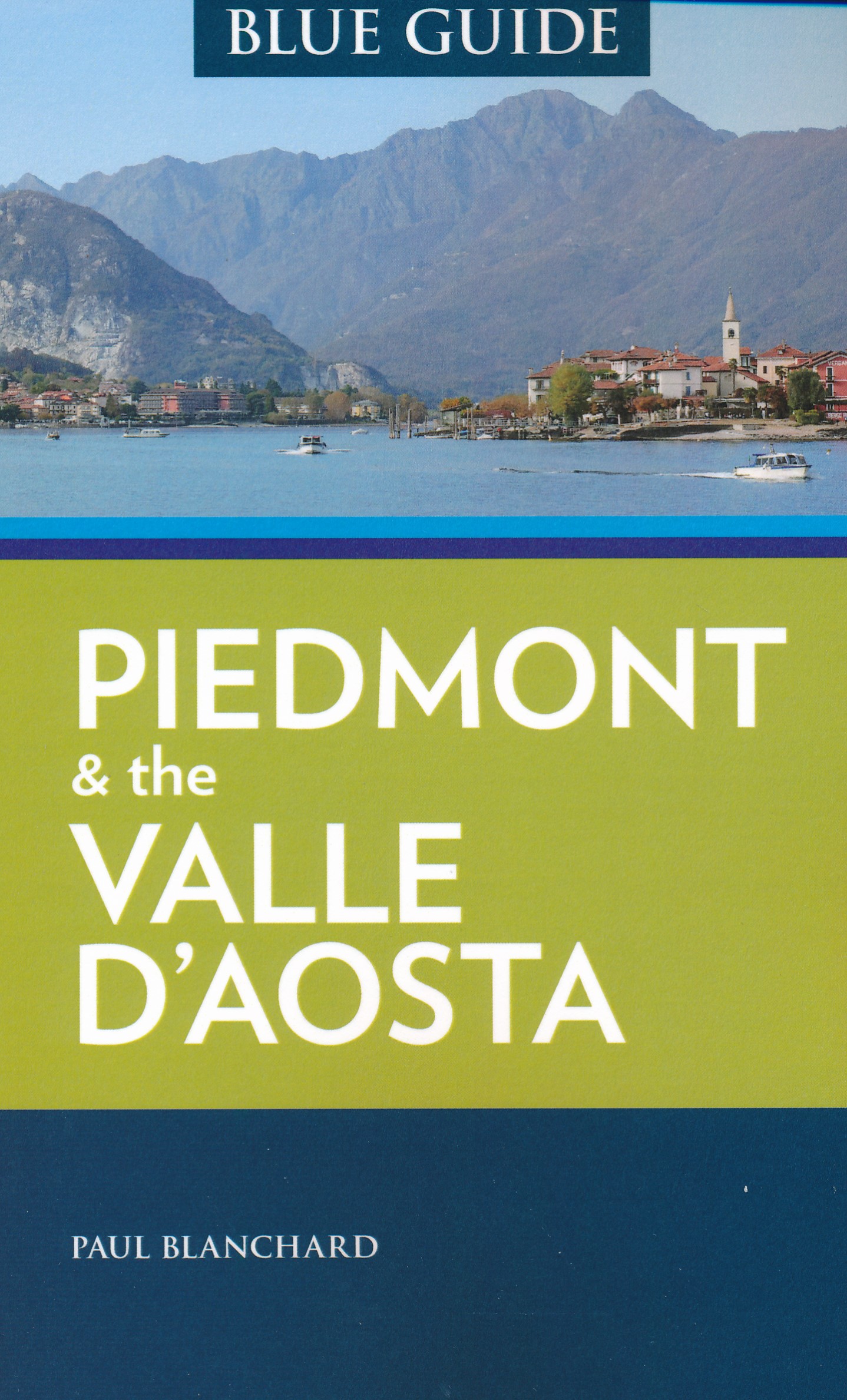
€ 22,50Engelstalige cultuurgids, gericht op musea en culturele geschiedenis. Zeer goede beschrijvingen van hoog nivo. Voo…
De Zwerver →
Engelstalige cultuurgids, gericht op musea en culturele geschiedenis. Zeer goede beschrijvingen van hoog nivo. Voo…
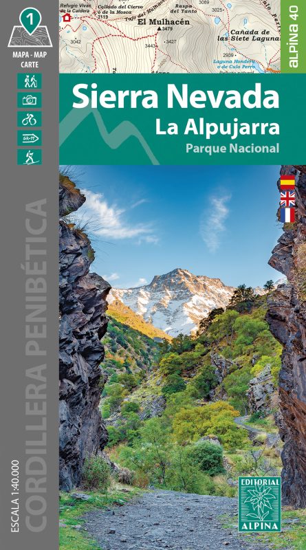
Goede wandelkaart van dit gebied met alle noodzakelijke informatie als berghutten, campings. Kleurgebruik vrij fel…
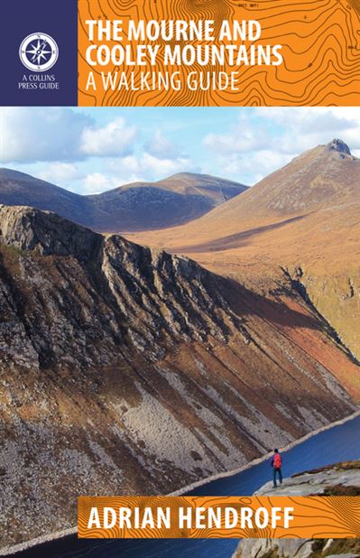
The Mourne and Cooley Mountains are quite simply a hiker’s paradise. These exhilarating walks will take you to…