Wandelgids Hardangervidda - Noorwegen | Conrad Stein Verlag
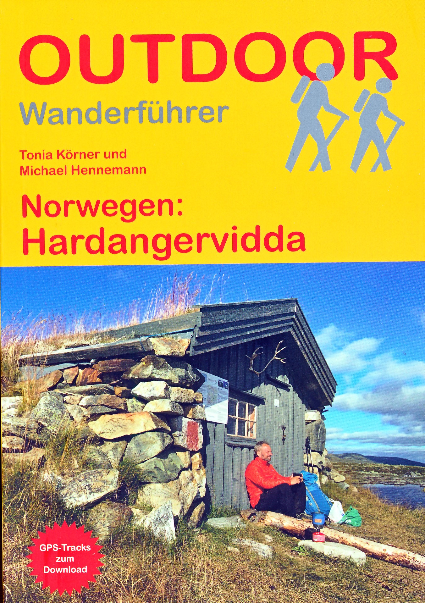
€ 17,50Wandelgids - duitstalig - Haddangervidda - ook geschikt voor skitouren - wandelen Noorwegen: goede en informatieve…
De Zwerver →
Wandelgids - duitstalig - Haddangervidda - ook geschikt voor skitouren - wandelen Noorwegen: goede en informatieve…

Pocket reisgidsen van Lonely Planet zijn een kleinere versie dan de 'echte' Planets. Vaak echter van bijzondere be…
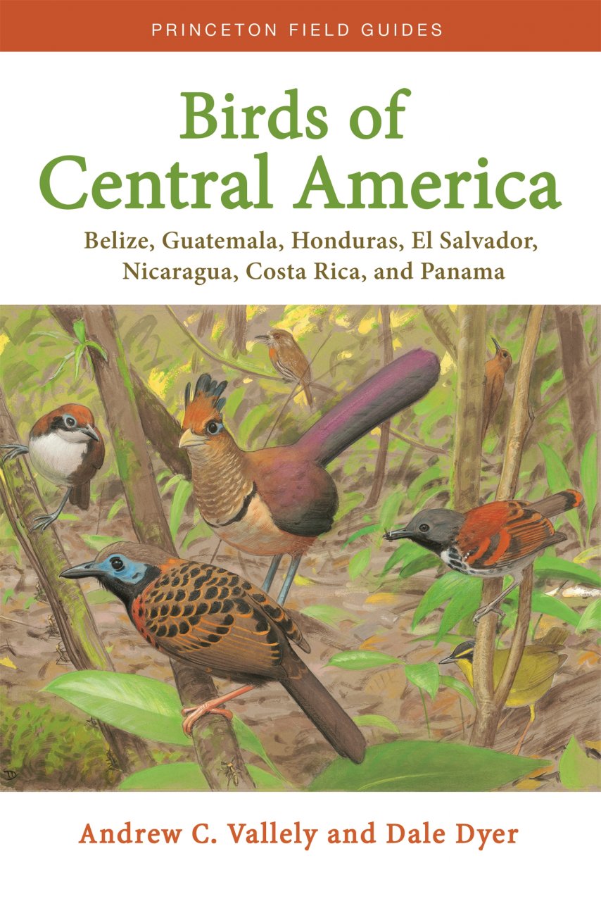
Birds of Central America is the first comprehensive field guide for the entire region’s avifauna, including the bi…
Zeer gedetailleerde topografische kaart met een aantal toegevoegde toeristische symbolen voor bijv. Bezienswaardig…
Verrassend goede kaarten van een aantal bekende Roemeense wandelgebieden. Gedrukt op stevig papier. Gedetaille…
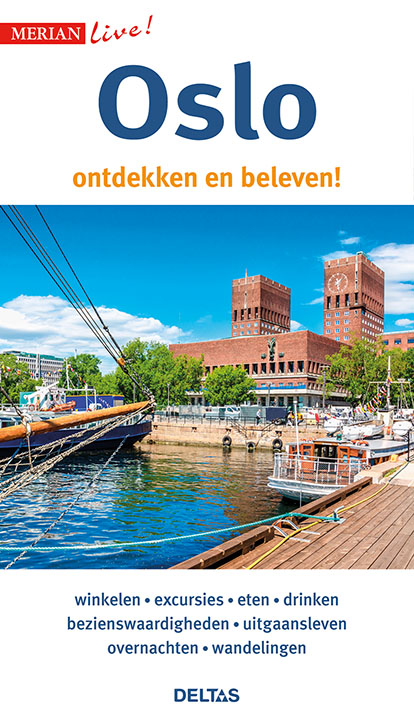
Leuke handzame reisgids voor Oslo met een beschrijving van alle bezienswaardigheden; vrij veel praktische tips als…
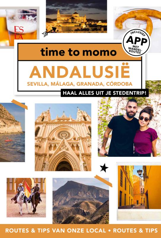
Leuke trendy reisgids van de stad. Aan de hand van een aantal wandelingen kom je op de leukste plekken terecht. Na…
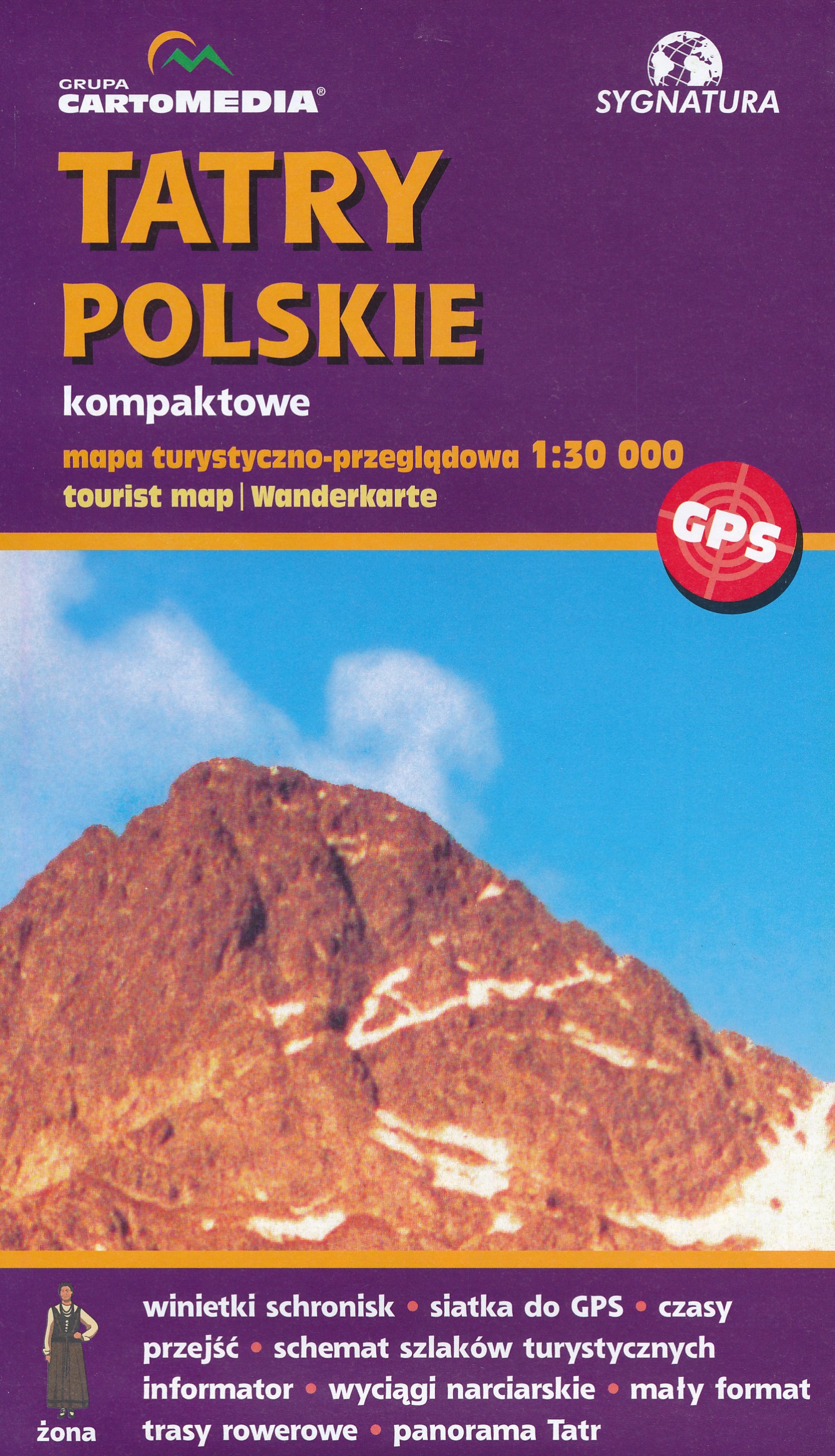
Uitstekende, bijzonder gedetaileerde wandelkaart van de hoge Tatra aan de kant van Polen. Wandelroutes, al dan nie…
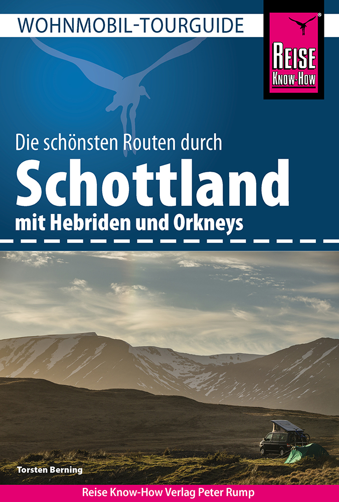
Geweldig complete Campergids over een aantal routes in Schotland: met alle mooie routes en bezienswaardigheden, ma…
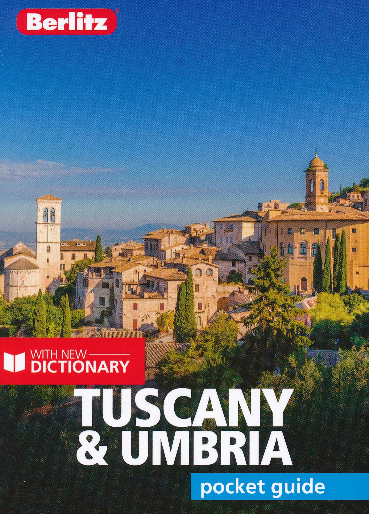
Toscane en Umbrie Pocket Guide Berlitz is een handzaam engelstalige reisgids met bezienswaardigheden, kaartjes, h…