Wandelkaart Cavalls del Vent | Editorial Alpina
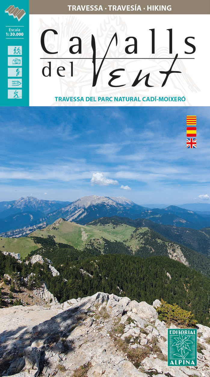
€ 16,95Gedetailleerde wandelkaart van een meerdaagse tocht in de Spaanse Pyreneeen, veel detail op topografisch niveau me…
De Zwerver →
Gedetailleerde wandelkaart van een meerdaagse tocht in de Spaanse Pyreneeen, veel detail op topografisch niveau me…

This easy-to-use identification guide to the 280 mammal species most commonly seen in India is perfect for residen…

Een uitstekende wandelkaart van de westkant van Italie waar tot voor kort geen echt goede kaarten beschikbaar ware…

Leuke trendy reisgids van de stad. Aan de hand van een aantal wandelingen kom je op de leukste plekken terecht. Na…
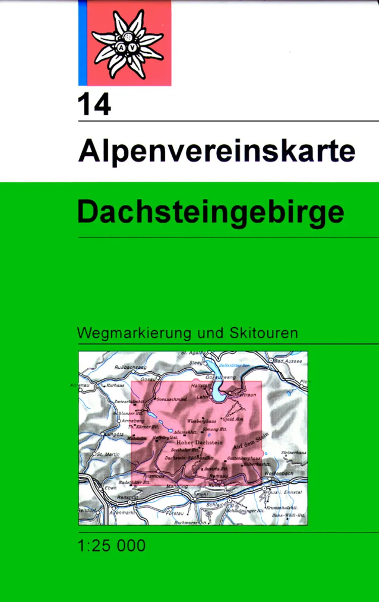
De klassieke AV-kaartserie is een gezamenlijk project van de Duitse en Oostenrijkse Alpenclub en overtuigt sinds 1…

Fietskaart van Münsterland. Geplastificeerd, met alle aanwezige fietsroutes en andere nuttige informatie met symbo…

Uitstekende reisgids over dit specifieke deel van Duitsland. Veel goede beschrijvingen van cultuur en geschiedenis…
Uitstekende wandelgids met een groot aantal dagtochten in dal en hooggebergte. Met praktische informatie en beperk…
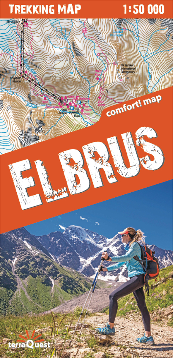
Hele duidelijke kaart van de Elbrus en directe omgeving. De trekkingroutes van alle richtingen staan er duidleijk …
Fosforescerende (glow in the dark) sticker van de aarde om aan je muur of plafond te plakken.