Reisgids Michelin groene gids weekend Barcelona | Lannoo
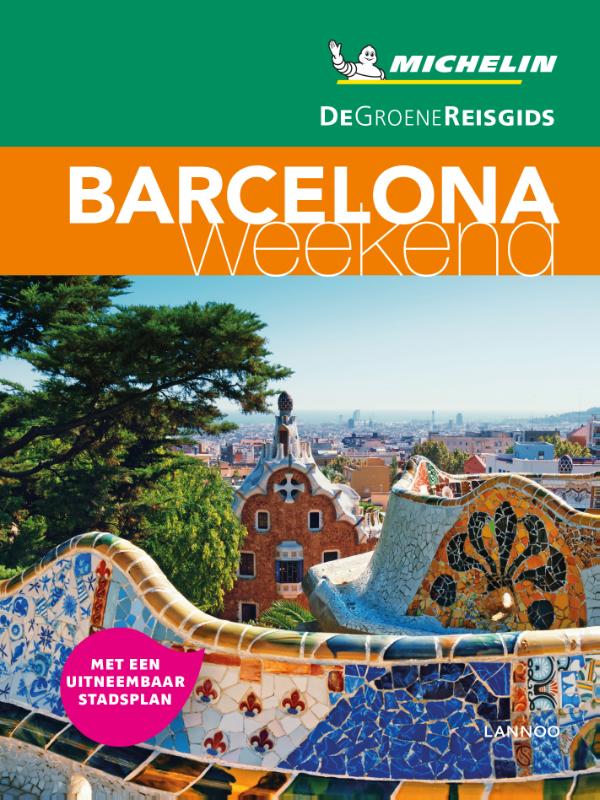
€ 15,-Met extra aandacht voor de must sees en must do's in Barcelona Barcelona in 3 dagen: met een uitgewerkt reispla…
De Zwerver →
Met extra aandacht voor de must sees en must do's in Barcelona Barcelona in 3 dagen: met een uitgewerkt reispla…
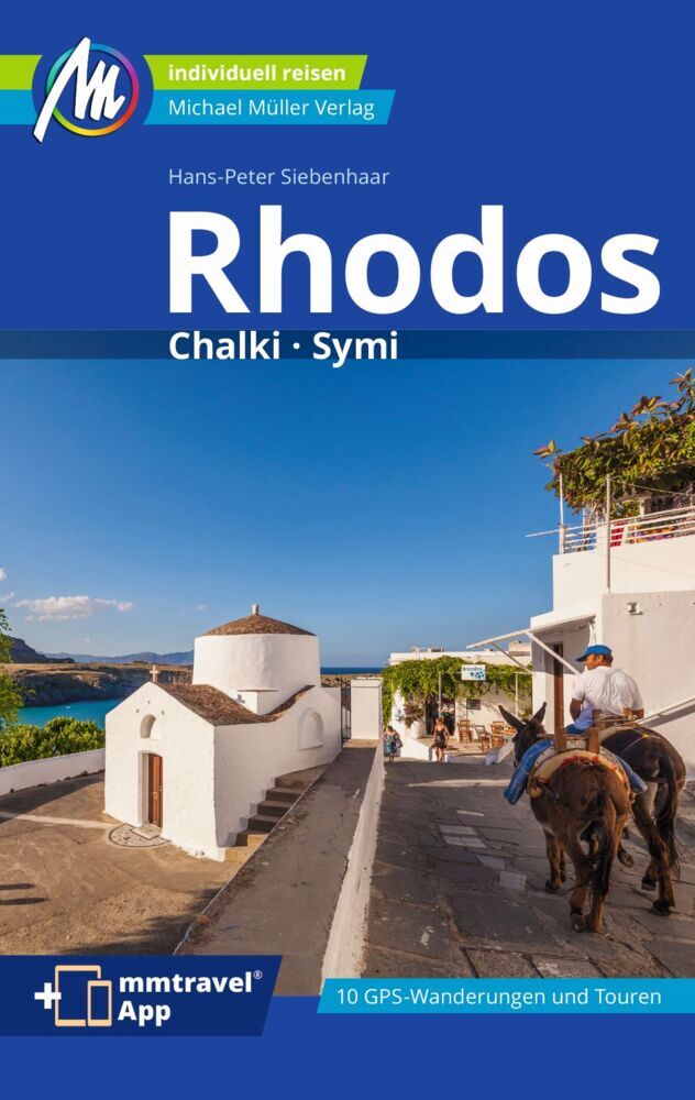
Meest complete reisgids over dit fascinerende deel van Griekenland. Vol met praktische informatie als vervoer, ete…
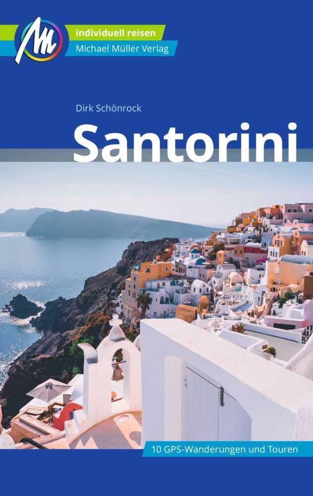
Zeer complete reisgids over dit fascinerende deel van Griekenland. Vol met praktische informatie als vervoer, eten…
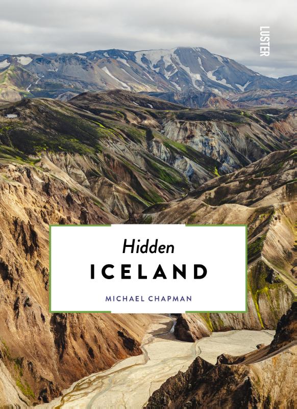
This alternative guidebook shines a light on the lesser-known side of the magical, mysterious island that is Icela…
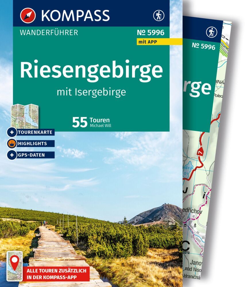
Goede Duitstalige wandelgids met heldere beschrijvingen van de wandeltochten. Met hoogteprofiel, kaartje en de ben…
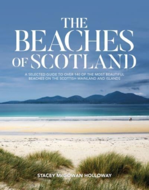
Scotland is renowned for its dramatic, fierce landscapes, but many people don't realise that some of the country's…
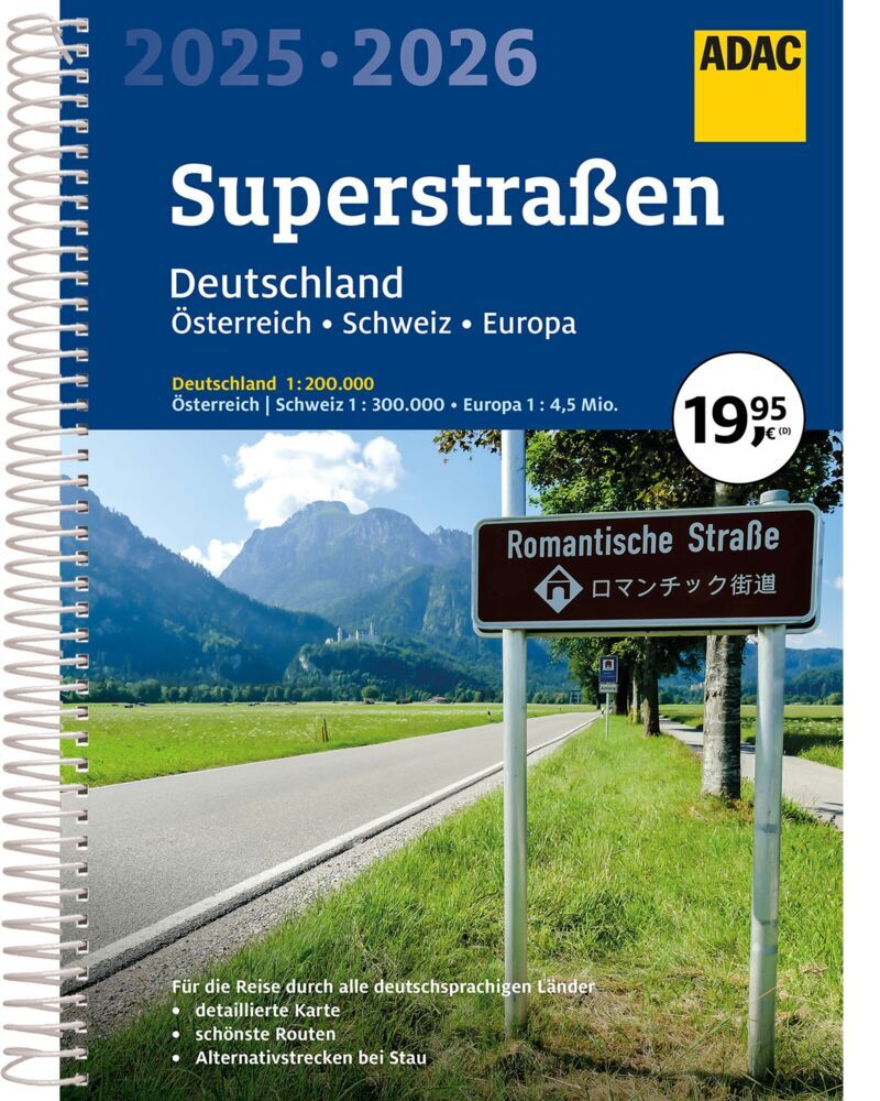
Der Praktische Superstraßenatlas für Deutschland, die Schweiz und Österreich. Die Spiralbindung bietet bestm…
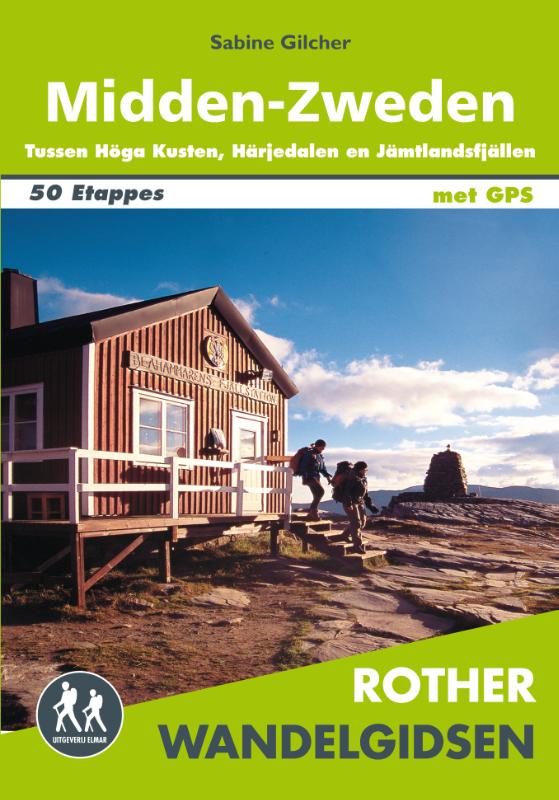
Let op: er is enige verwarring omtrent het jaartal van deze Nederlandse wandelgidsen van uitgever Elmar. Dit is ee…
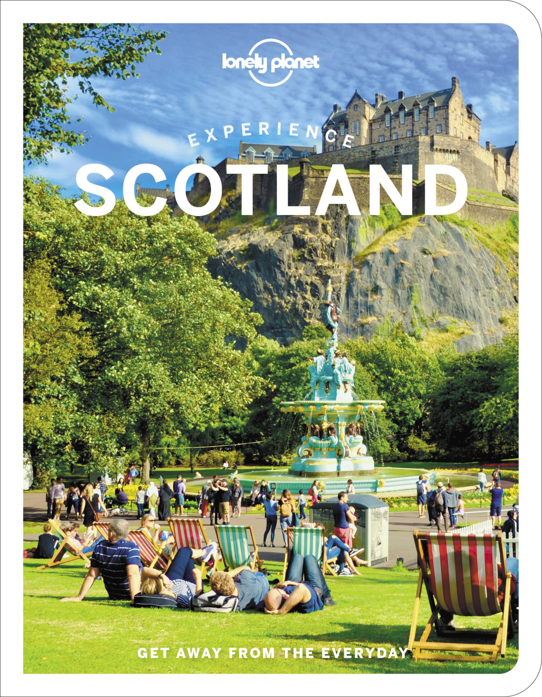
De nieuwste reisgidsen-serie van Lonely Planet: een luxe uitgave met als titel 'Experience... ' waarin aandacht vo…
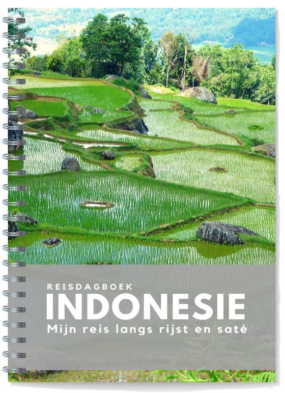
Wie schrijft reist twee keer Rijstvelden en droomstranden in woorden gevangen. Deze keer wel: met behulp van het r…