Reisgids Capitool Reisgidsen Australië | Unieboek
€ 40,- De Zwerver →
Durable and waterproof, with a handy slipcase and an easy-fold format, Lonely Planet's Japan Planning Map is your …


Na ‘Wandelen in Twente’ vergroot Truus Wijnen met deze fietsgids haar actieradius door op haar stalen ros te sprin…
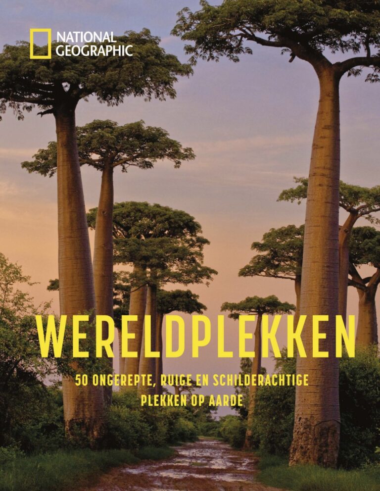
National Geographic Wereldplekken toont de 50 meest ongerepte, verlaten, ruige en schilderachtige plaatsen op aard…

Pocket reisgidsen van Lonely Planet zijn een kleinere versie dan de 'echte' Planets. Vaak echter van bijzondere be…
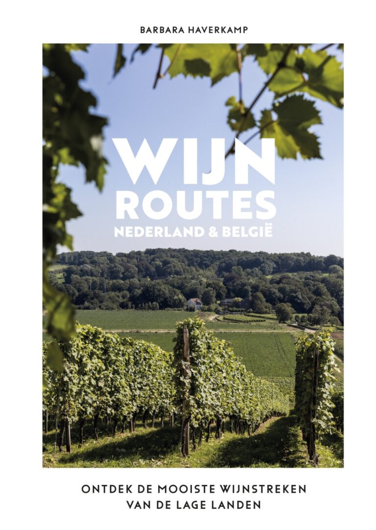
In ‘Wijnroutes Nederland en België’ gaat Barbara Haverkamp van De Wijnwijven en Grapefinds op bezoek bij de leukst…