Reisgids time to momo Cote d'Azur | Mo'Media | Momedia
€ 20,- De Zwerver →
Gran Canary not only enjoys a fabulous reputation as a paradise of sunshine and beaches; it can also be described …
Let Marco Polo Zakynthos and Kefalonia guide you around these beautiful Greek islands. Explore Zakynthos and Kefal…
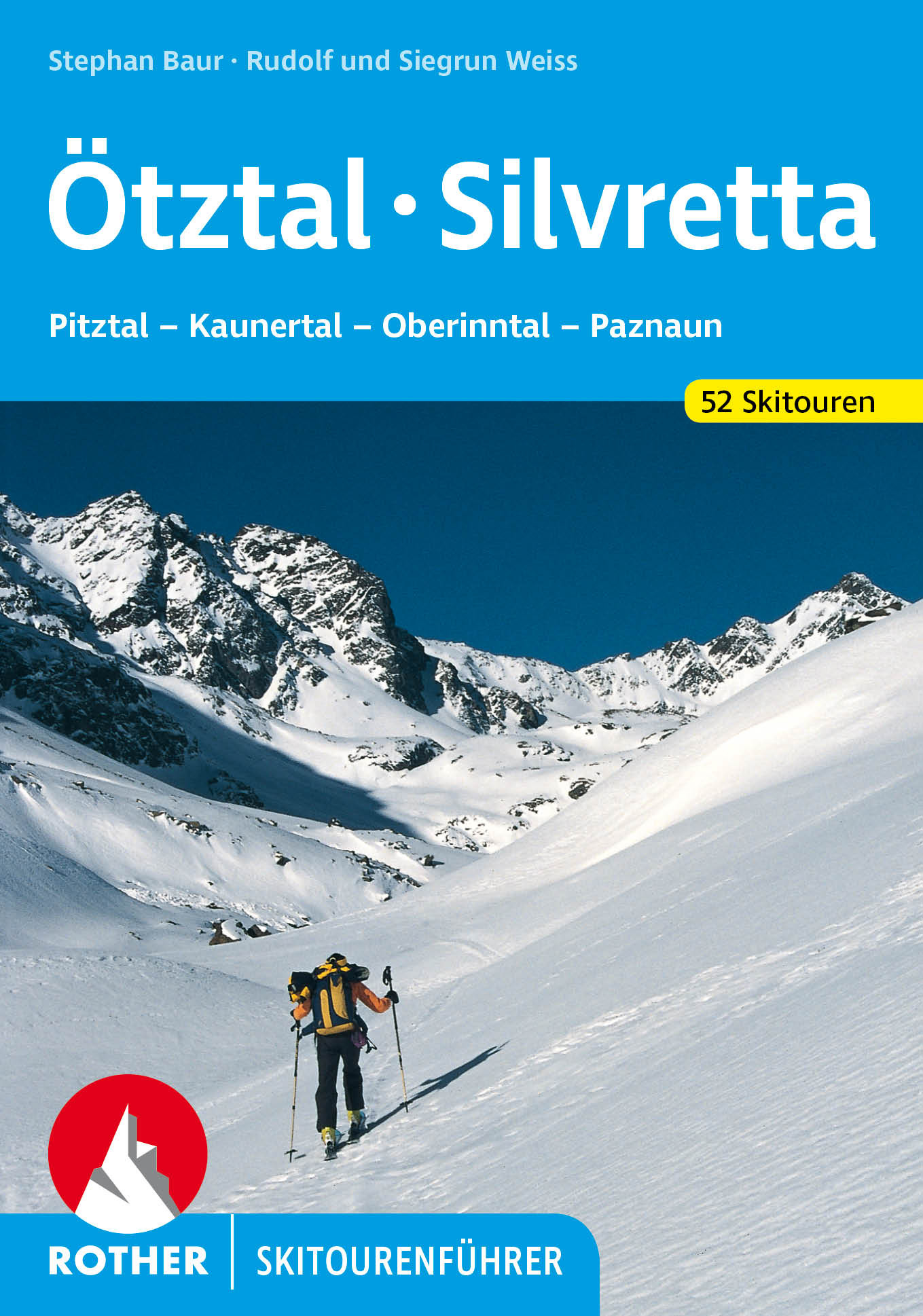
Pulverschnee, Sonnenschein und hohe Gipfel - das Ötztal und die Silvretta sind ideal für herrliche Skitouren. Hier…
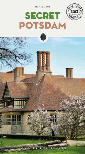
Let Secret Potsdam guide you around the unusual and unfamiliar. Step off the beaten track with this fascinating Po…
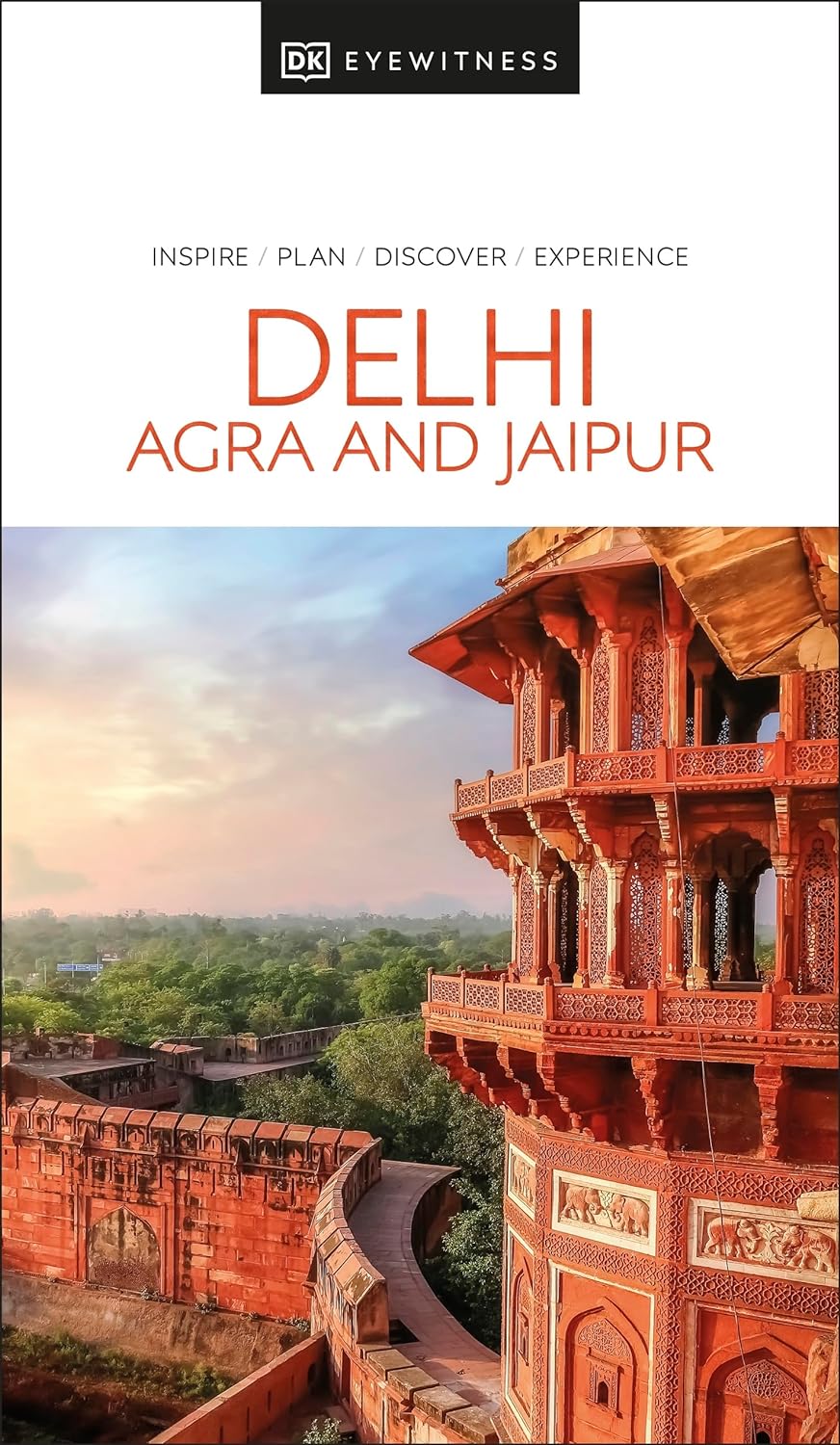
Explore the three unique cities of India, popularly known as the "Golden Triangle". Whether you want to explor…
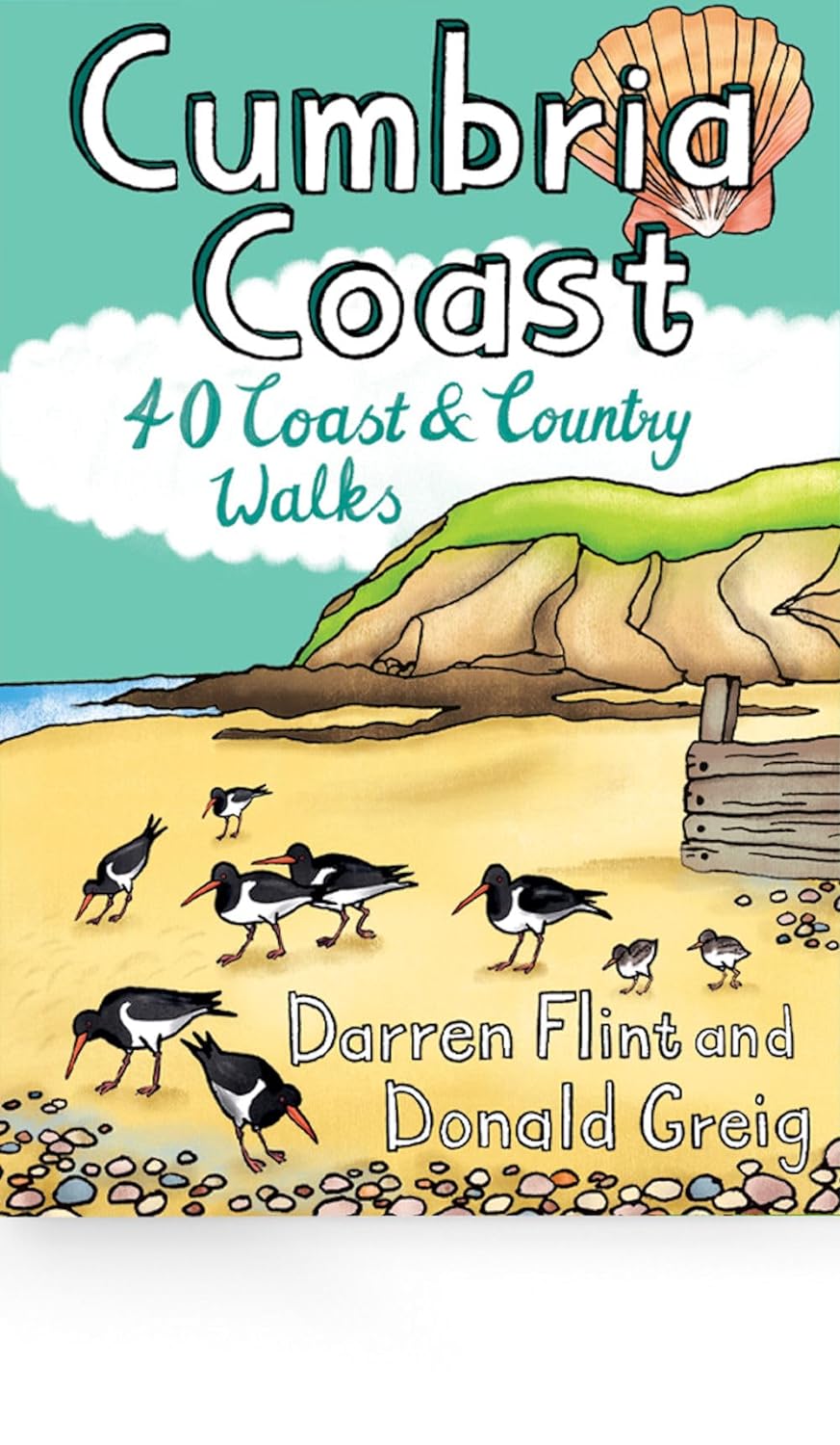
Handige compacte wandelgids met 40 dagwandelingen. Deze gids bevat kleine kaartjes en leuke uitgebreide informatie…
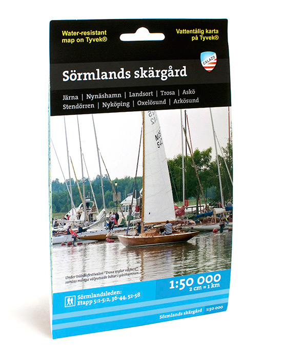
Deze kaart van de archipel van Sörmland beslaat het gebied van Järnafjärden in het noorden tot Bråviken en Arkösun…