Wandelkaart Qualitätswanderwege Deutschland | Kompass
€ 14,-Overzichtskaart van Duitse kwaliteitswandelpaden in samenwerking met de Duitse wandelbond. Meer dan 230 routes zij…
De Zwerver →
Overzichtskaart van Duitse kwaliteitswandelpaden in samenwerking met de Duitse wandelbond. Meer dan 230 routes zij…
Goede wandelkaart met ingetekende wandelroutes, GR-routes, bezienswaardigheden, toeristische faciliteiten, kaart e…
Uitstekende wandelgids met een groot aantal dagtochten in dal en hooggebergte. Met praktische informatie en beperk…

Handige fietskaart van de Weser radweg > in harmonika vorm gevouwen en geplastificeerd. Die im Leporello-Design g…
Uitstekende wandelgids met een groot aantal dagtochten in dal en hooggebergte. Met praktische informatie en beperk…

Lonely Planet presenteert 100 reizen die je leven veranderen. Onderweg sta je open voor nieuwe ontmoetingen en ind…
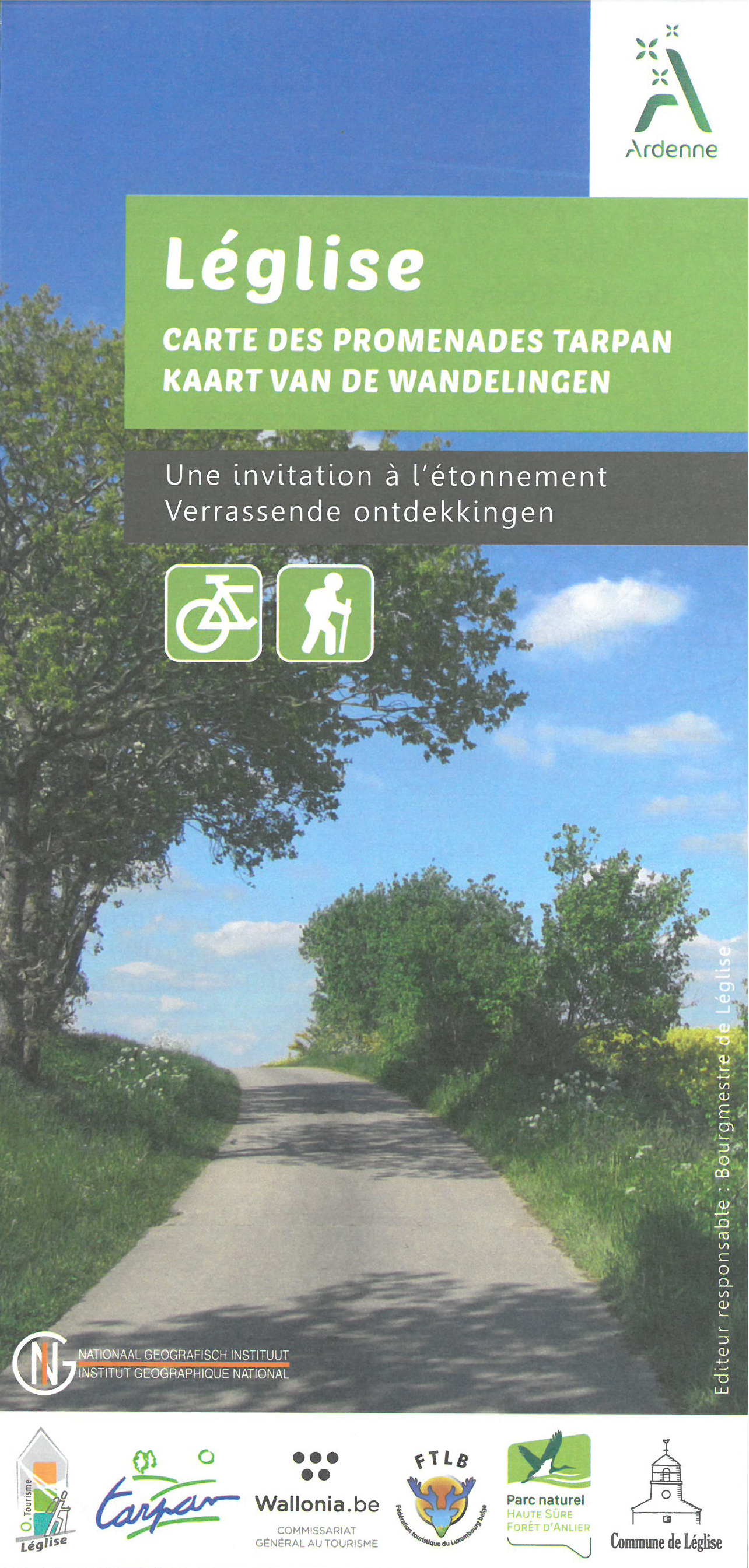
Wandelroutes, bezienswaardigheden, toeristische faciliteiten kaart op schaal 1:25 000 publicatie datum 2017 edi…
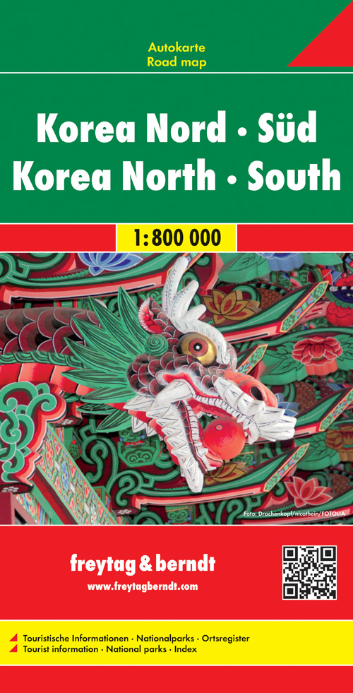
Goede overzichtskaart van zowel Noord als Zuid Korea. Veel details, met register. Kleurgebruik duidelijk met schad…
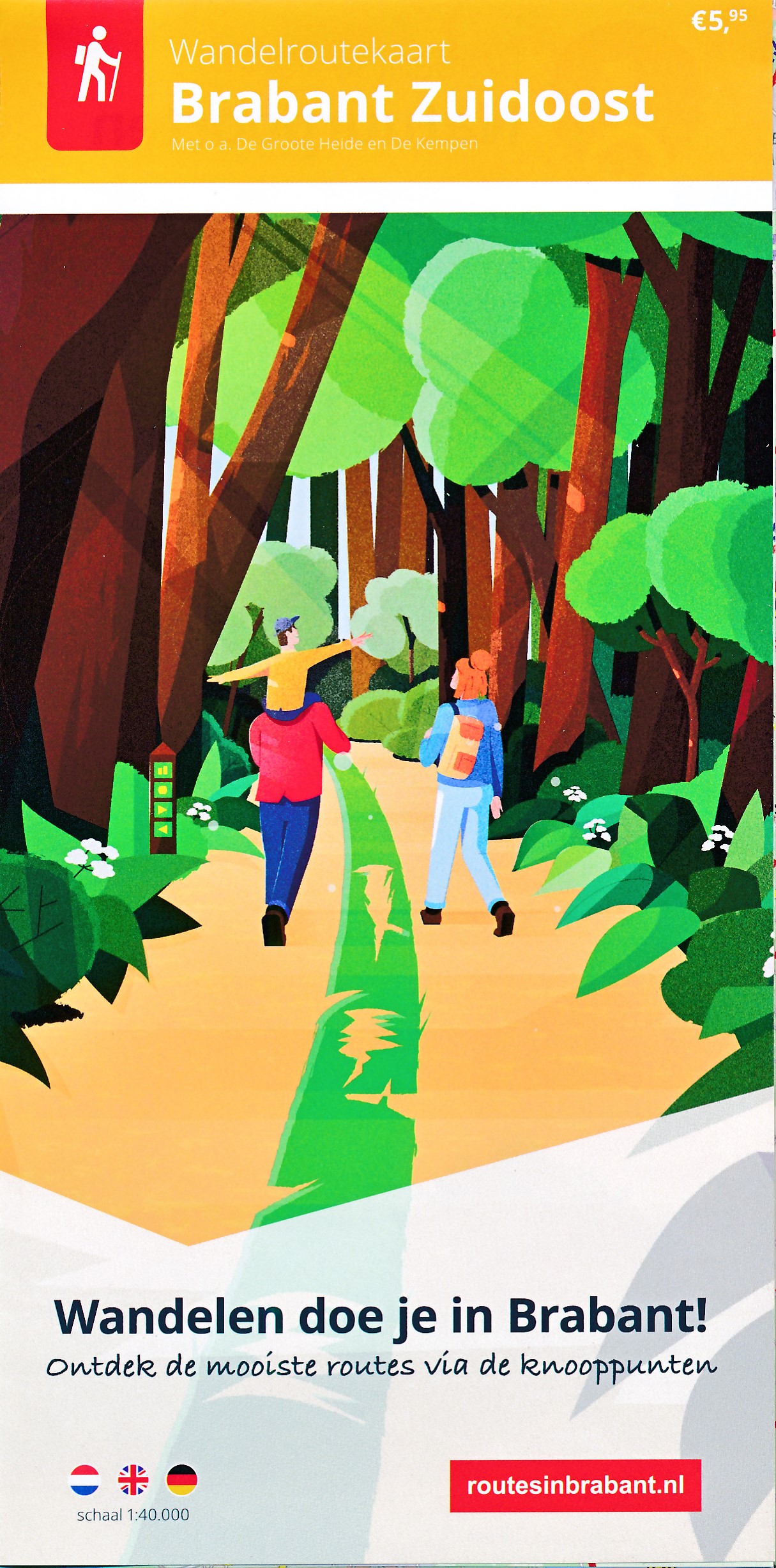
Zuidoost-Brabant kent een overweldigende en gevarieerde natuur die reikt tot aan de Belgische grens. Bijzonder is …
Handzaam boekje met de routebeschrijving inclusief een heleboel praktische informatie. De beschrijving is uitsteke…