Goede wandelkaart met vrijwel alle topografische details als hoogtelijnen, vegetatie, schaduwtekening maar ook de ingetekende wandelroutes en in veel gevallen ook fietsroutes (MTB). Gevaarlijke routes worden als zodanig weergegeven met een bepaalde markering. Berghutten en campings zijn goed terug te vinden op deze kaarten.
Daarnaast staan de toeristische bezienswaardigheden met symbolen vermeld. Kleurgebruik kan soms vrij fel overkomen, daardoor oogt deze detailkaart wellicht wat druk, maar het blijft een goed leesbare kaart. Sommige kaarten zijn geplastificeerd, maar helaas niet allemaal. De graden staan aan de zijkanten van de kaart, daardoor te gebruiken voor GPS.
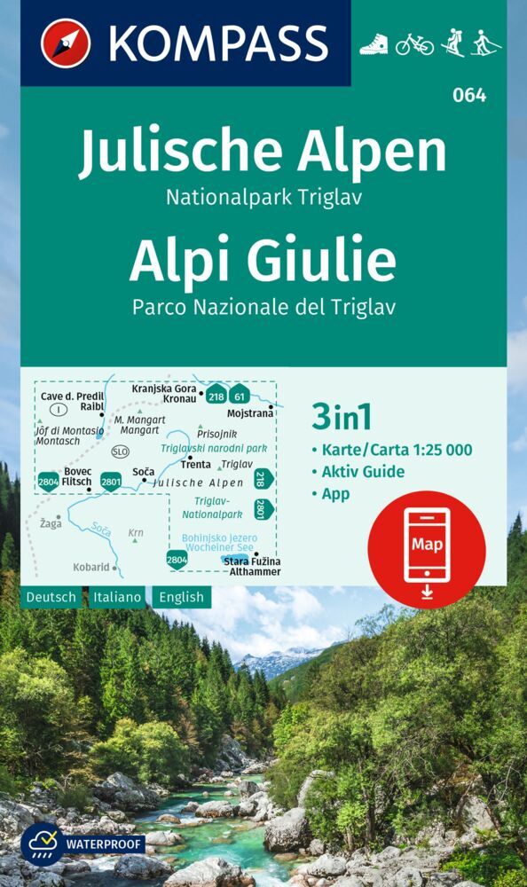
Steden/dorpen/gebieden:
Cave d. Predil (Raibl), Kranjska Gora (Kronau), Mojstrana, Bovec (Flitsch), Soca, Trenta, Stara Fuzina (Althammer)
Bergen/dalen:
Jof di Montasio (Montasch), Mangart, Prisojnik, Triglav
Rivieren/meren:
Soca, Bohinjsko Jezero (Wocheiner See)
Wanderkarte Julische Alpen, Nationalpark Triglav / Alpi Giulie: Die Karte für Wandern, Fahrradfahren und viele weitere Aktivitäten in der Natur
Kompass Wanderkarten sind einfach zu lesen und beinhalten trotzdem alle Informationen, die man für eine perfekte Wandertour, eine Fahrradrunde oder einen Ausflug benötigt. Sie bilden die Natur im passenden Maßstab ab. Unzählige zusätzliche Informationen werden vom Kartografie-Team laufend geprüft und erweitert. Die präzise Kartografie beinhaltet alle offiziellen Wanderwege mit Namen und Wegnummer (wie Fernwege), Fahrradwege (mit Trails), Klettersteige, Gasthäuser und Hütten, Parkplätze, Bus & Bahn, Skitouren und Loipen, Quellen, Badeplätze und vieles mehr. Das macht die Karte ideal zum Entdecken neuer Ziele, zum Planen von Touren und zum Orientieren unterwegs. Ein intuitives Kartenbild der Landschaft entsteht durch die abgebildete Vegetation, Höhenlinien, Felszeichnung sowie der Schummerung (Schattenwurf) der Berge.
Ausstattung der Wanderkarte Julische Alpen, Nationalpark Triglav / Alpi Giulie:
Maßstab 1:25.000: 1cm auf der Hauptkarte entspricht 250m in der NaturDank des reiß- und wetterfesten Papiers überlebt die Karte jedes WetterKartenausschnitt auch offline in der Kompass-Wanderkarten-App nutzbarAktiv Guide: Zusatzheft mit jeder Menge Informationen über die Region
Über die Region: Julische Alpen, Nationalpark Triglav / Alpi Giulie: Im Herzen der Julischen Alpen gelegen, umfasst der Nationalpark Triglav eine atemberaubende Berglandschaft, kristallklare Seen und eine reiche Biodiversität. Der Triglav ist ein Muss für jeden Bergsteiger. Die Julischen Alpen (slow. Julijske Alpe; ital. Alpi Giulie) sind ein schroffer Gebirgsstock der südlichen Kalkalpen auf slowenischem (Ober- und Unterkrain) und italienischem Gebiet (Friaul-Julisch Venetien). Höchster Berg ist der Triglav, 2.864 m, zugleich der höchste Gipfel Sloweniens. Er liegt im Zentrum des nach ihm benannten Nationalparks, des einzigen Nationalparks Sloweniens, mit seiner besonders vielfältigen Tier- und Pflanzenwelt. Bekannte Tourismuszentren der Region: -Bled am Bleder See, ein moderner Badeort für Wander- und Wassersportinteressierte in geschützter Lage am Fuße der Julier. -Bohinj mit dem Bohinjsko jezero (Wocheiner See). Das überaus schöne Tal bietet hervorragende Bedingungen für den Bergsport in all seinen Facetten (Bergsteigen, Klettern, Skitouren, Langlauf in der Pokljuka. -Kranjska Gora ist bekannt als Erholungs- und Wintersportort. Auf Gemeindegebiet bei Ratece/Planica befindet sich die größte Skiflugschanze der Welt (aktueller Weltrekord von 239 m, aufgestellt durch Bjørn Einar Romøren im Jahr 2005). -Tarvisio (Tarvis), eine Stadt im italienisch-österreichisch-slowenischen Dreiländereck im Kanaltal. Gut ausgebaute Asphaltstraßen führen auf den Neveasattel (Skigebiet), dem Ausgangspunkt für lohnende Bergtouren in die Montasch- (Montasio-) und Cimonekette.