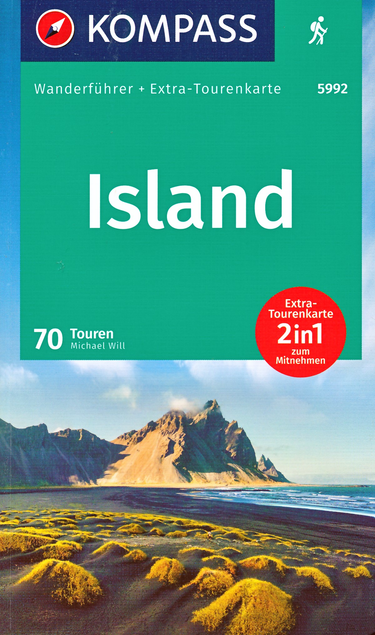
Goede Duitstalige wandelgids met heldere beschrijvingen van de wandeltochten. Met hoogteprofiel, kaartje en de benodigde praktische informatie als bijvoorbeeld de startlocatie met GPS coordinaten. De wandelingen zijn ingedeeld in zwaarte en dan op verschillende kleuren weergegeven. Beschreven worden eenvoudige wandelingen tot pittige (berg)tochten, voor getrainde en ongetrainde wandelaars, een aantal wandelingen zijn geschikt om met kinderen te doen. Belangrijke toevoeging bij de Kompass wandelgidsen is een bijgevoegde losse wandelkaart van het betreffende gebied waarop de wandelingen uit de gids op de kaart heel duidelijk zijn ingetekend.
Wanderführer mit Extra-Tourenkarten und Höhenprofilen, GPX-Daten zum Download
Kaart met schaal 1:450.000
€ 18.50
€ 22.50
De streek van Bouillon in de Ardennen is al goed bekend bij liefhebbers van langeafstandswandelen. Via deze gids doorkruis je de streek aan de hand van meerdere GR paden.
Le Pays de Bouillon en Ardenne est déjà bien connu des amateurs de Grande Randonnée.
Il est traversé par plusieurs sentiers GR emblématiques : GR 14, GR 16, GR 17, GR 129, le SMA et le SAT.
Créé en collaboration avec la Maison du Tourisme du Pays de Bouillon en Ardenne, il invite le randonneur à découvrir les différentes facettes de son territoire, ses villages et hameaux, ses vallées, ses plateaux, ses massifs forestiers, son riche passé historique, son patrimoine, sa culture... par un itinéraire en boucle empruntant les GR existants.
Deux nouveaux tronçons ferment la boucle, longue de 186 kilomètres, qui promet de belles sensations.
ITINÉRAIRES GRP 161 - Sentiers de l’Ardenne - Tour du Pays de Bouillon en Ardenne
- Variante crue Les Hayons
- Liaison gare de Bertrix
- Liaison gare de Paliseul
- Liaison gare de Graide
- Variante pont de claies
€ 18.95
Franstalige wandelgids met een beschrijving van een aantal dagtochten. Uitstekende beschrijvingen met duidelijk kaartmateriaal. Mislopen is nauwelijks mogelijk, maar ja .. de franse taal! Ook praktische informatie staat in deze gids. Alle gidsen bevatten een door ons toegevoegde uitgebreide frans - nederlandse wandelwoordenlijst.
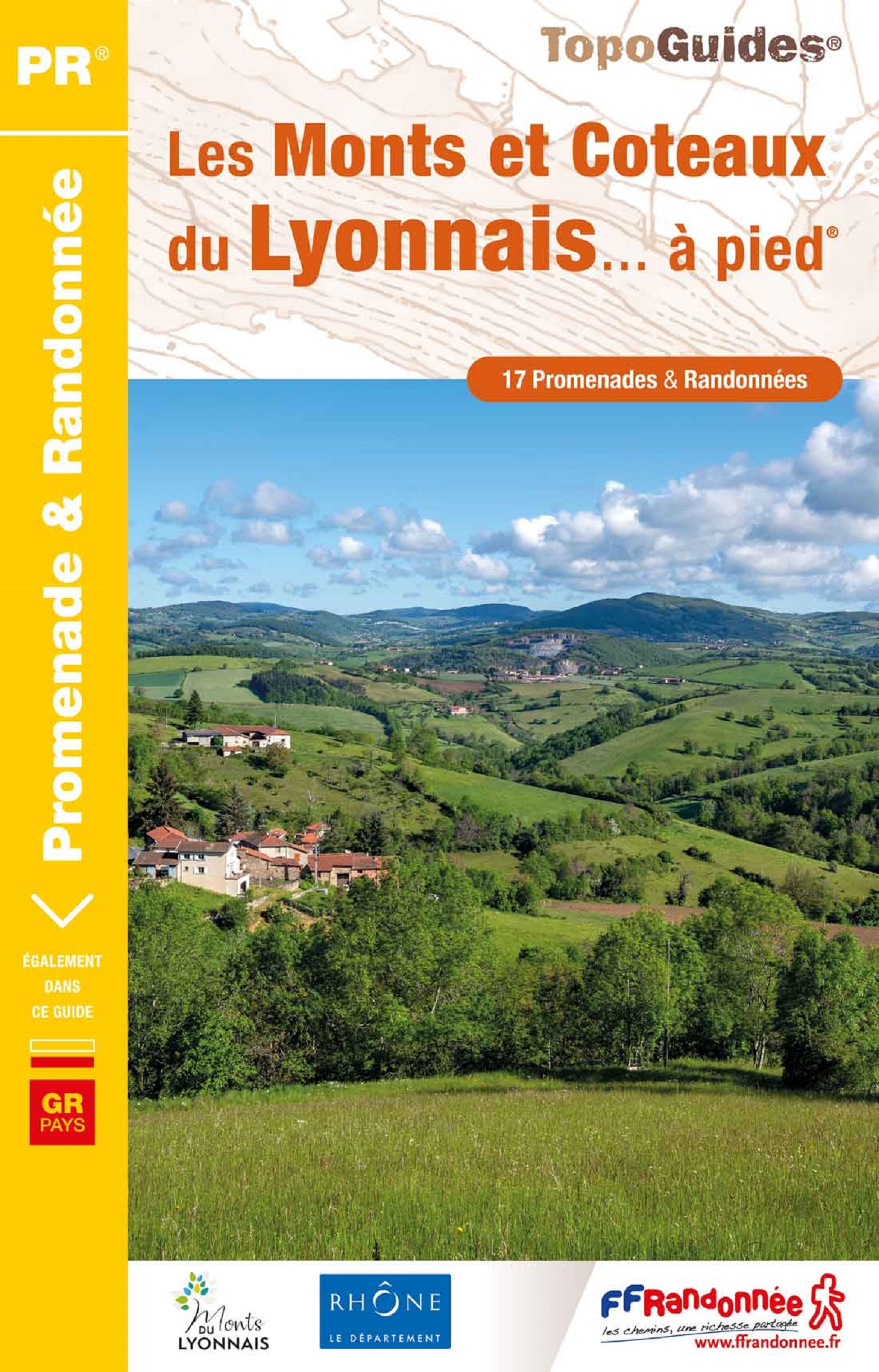
25 itinéraires pour découvrir la catalogne française, entre paysages montagnards et bord de mer. Chaîne des Pyrénées, pic du Canigou, Perpignan, Céret... Les merveilles des Pyrénées-Orientales n'attendent plus que vous !
Les Pyrénées-Orientales présentent de grands espaces montagnards caractéristiques du département avec la chaîne des Pyrénées la plus à l'est et ses pics.
Pour les randonneurs les plus sportifs, le topoguide propose une randonnée sur le Pic du Canigou culminant à 2 600 m.
Paysages contrastants avec la plaine du Roussillon composée de maquis, cyprès, palmiers et coteaux viticoles, sur laquelle rayonne Perpignan face à la mer Méditerranée.
€ 19.99
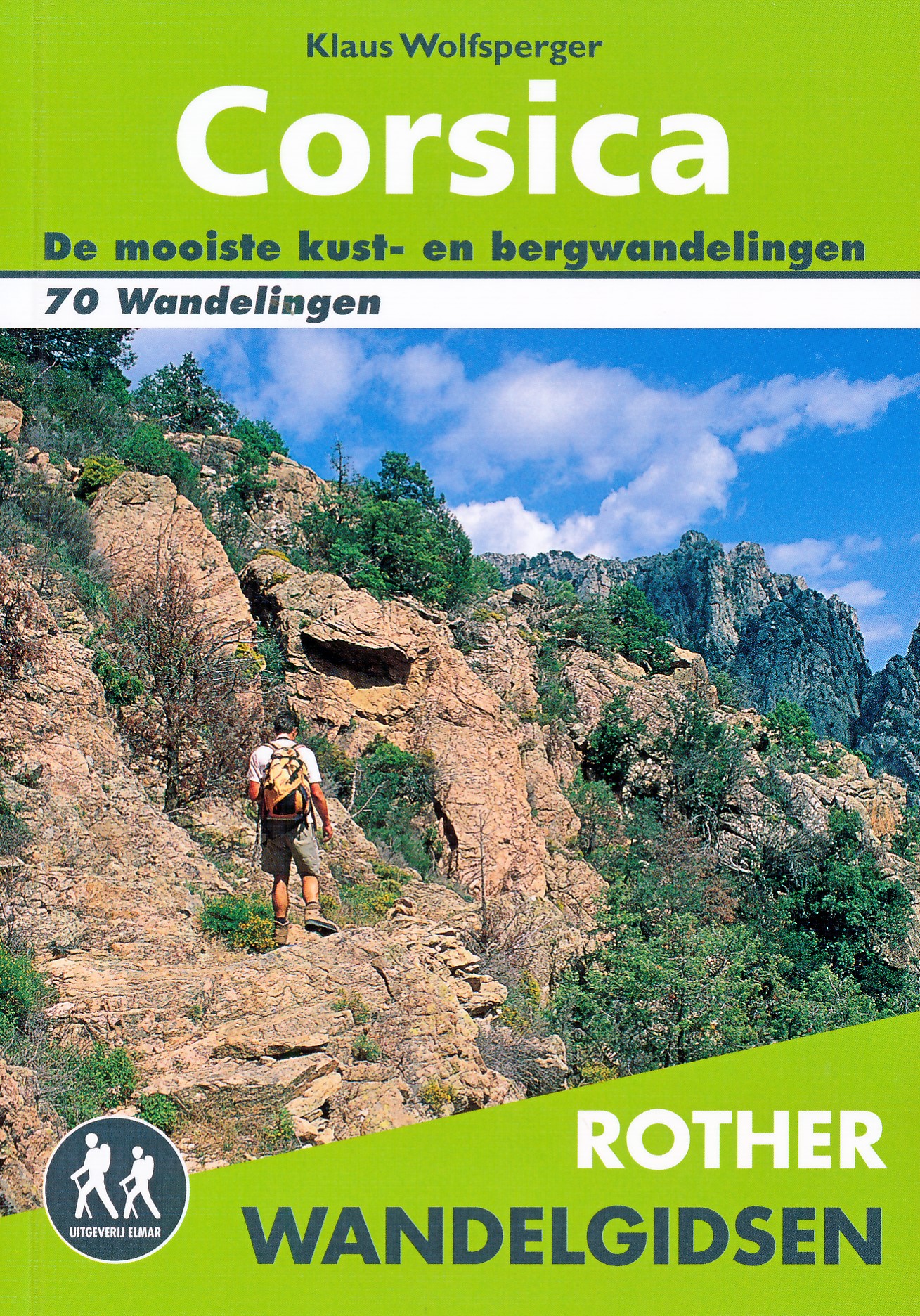
De Rother wandelgids Corsica telt maar liefst zeventig wandelingen. Corsica is een populaire vakantiebestemming vanwege het gunstige klimaat, de kilometer lange zandstranden, gezellige dorpjes, uitgestrekte wouden en kristalheldere meren en beken. Maar het zijn vooral de imposante berglandschappen die Corsica bij wandelaars populair maakt. De Rother wandelgids Corsica bevat een rijke keus aan wandelingen. Van eenvoudige strandwandelingen tot zwaardere hoogtetochten voor de gevorderde wandelaar. De wandelingen zijn voorzien van betrouwbare routebeschrijvingen, gedetailleerde wandelkaarten en informatieve hoogteprofielen.
Aanbevolen wandelkaarten bij deze gids:
In het noorden van Corsica (wandeling 1 t/m 14):
IGN kaarten 1:25.000
Wandelkaart - Topografische kaart 4347OT Cap Corse | IGN
Wandelkaart - Topografische kaart 4348OT Bastia | IGN
Wandelkaart - Topografische kaart 4349OT Vescovato | IGN
Wandelkaart - Topografische kaart 4351OT Cervione | IGN
Wandelkaart - Topografische kaart 4149OT Calvi - Cirque de Bonifatu | IGN
Wandelkaart - Topografische kaart 4249OT L'Île Rousse | IGN
Wandelkaart - Topografische kaart 4150OT Porto - Calanche du Piana | IGN
Wandelkaart - Topografische kaart 4250OT Corte - Monte Cinto | IGN
of
Kompass kaart 1:50.000
Wandelkaart - Fietskaart 2250 Korsika Nord - Corse du Nord | Kompass
De westkust tussen Porto en Ajaccio (wandeling 15 t/m 28):
IGN kaarten 1:25.000
Wandelkaart - Topografische kaart 4150OT Porto - Calanche du Piana | IGN
Wandelkaart - Topografische kaart 4151OT Vico - Cargèse | IGN
Wandelkaart - Topografische kaart 4149OT Calvi - Cirque de Bonifatu | IGN
Wandelkaart - Topografische kaart 4251OT Monte d'Oro - Monte Rotondo | IGN
Wandelkaart - Topografische kaart 4252OT Monte Renoso | IGN
Wandelkaart - Topografische kaart 4153OT Ajaccio | IGN
of Kompass kaart 1:50.000
Wandelkaart - Fietskaart 2250 Korsika Nord - Corse du Nord | Kompass
Wandelkaart - Fietskaart 2251 Korsika Süd - Corse du Sud | Kompass
In het zuiden van het eiland (wandeling 29 t/m 48)
IGN kaarten 1:25.000
Wandelkaart - Topografische kaart 4253OT Petreto-Bicchisano - Zicavo | IGN
Wandelkaart 4154OT Propriano | IGN
Wandelkaart - Topografische kaart 4254OT Sartène | IGN
Wandelkaart - Topografische kaart 4254ET Porto-Vecchio | IGN
Wandelkaart - Topografische kaart 4255OT Bonifacio | IGN
Wandelkaart - Topografische kaart 4253ET Aiguilles-de-Bavella - Solenzara | IGN
Wandelkaart - Topografische kaart 4352OT Aléria - Ghisonaccia | IGN
of
Kompass kaart 1:50.000
Wandelkaart - Fietskaart 2251 Korsika Süd - Corse du Sud | Kompass
In het centrum van het eiland (wandeling 49 t/m 70)
IGN kaarten 1:25.000
Wandelkaart - Topografische kaart 4352OT Aléria - Ghisonaccia | IGN
Wandelkaart - Topografische kaart 4252OT Monte Renoso | IGN
Wandelkaart - Topografische kaart 4250OT Corte - Monte Cinto | IGN
Wandelkaart - Topografische kaart 4251OT Monte d'Oro - Monte Rotondo | IGN
of
Kompass kaarten 1:50.000
Wandelkaart - Fietskaart 2250 Korsika Nord - Corse du Nord | Kompass
Wandelkaart - Fietskaart 2251 Korsika Süd - Corse du Sud | Kompass
Let op: er is enige verwarring omtrent het jaartal van deze Nederlandse wandelgidsen van uitgever Elmar. Dit is een vertaling van de Duitse uitgever Rother maar daarna NIET bijgewerkt. De datum die wij vermelden is het moment van vertaling; er zijn andere – meer recente jaartallen – in omloop maar dat is de datum van een nieuwe druk ZONDER aanpassingen. Wilt u de meest recente wandelgids van dit gebied van deze uitgever: kies dan de Duitstalige versie van uitgever Rother. Deze zijn recent en WEL bijgewerkt.
€ 26.95
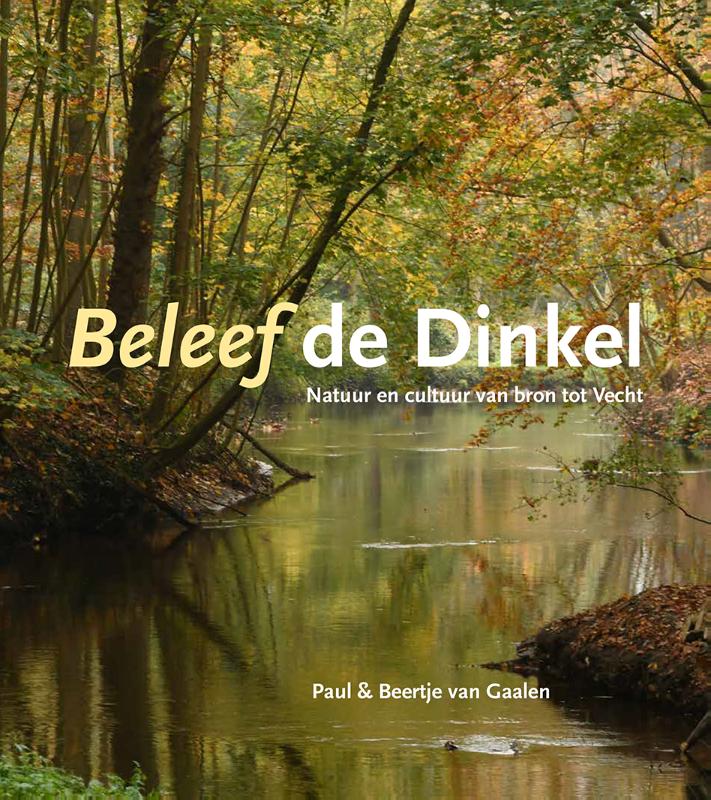
Het boek 'Beleef de Dinkel' is een ode aan deze schitterende kleine laaglandrivier in Noordoost-Twente. De internationale bekende natuurfotograaf Paul van Gaalen heeft deze unieke meanderende rivier, een van de weinigen nog in Nederland, en haar achterland in aansprekende beelden vastgelegd. Vanwege de historische verhalen en achtergrondinformatie van bijzondere landschapstypen met hun specifieke flora en fauna heeft elke bezoeker van de Dinkelvallei met dit schitterende boek een waardevol document in handen.
€ 11.99
Geen verveling meer onderweg of bij regenachtig weer! Met deze set kaarten vliegt de tijd voorbij – of het nu op de achterbank van de auto is, in de trein, in het vliegtuig of op een echt regenachtige dag. Want hier vind je 50 lastige raadsels, grappige vragen, spannende puzzels, heel veel doolhoven en zoekafbeeldingen. De set kaarten past in elke tas, dus je kunt hem overal mee naartoe nemen. Vanaf 6 jaar te spelen! Veel plezier met puzzelen en raden!
€ 17.90
In drei Rundtouren führen die Wasser-Radlwege durch Oberbayern. Auf der Hopfen-Schleife radeln Sie entlang von Amper, Donau und Isar durch die Hallertau – das größte Hopfenanbaugebiet Deutschlands. In Freising können Sie die Klosterbrauerei Weihenstephan, die älteste Brauerei der Welt, besuchen. Die Salz-Schleife führt entlang von Isar, Inn und Salzach in die Region des Salzabbaus. Zahlreiche Thermen und Naturgewässer wie Chiemsee, Wöhrsee und Simssee laden zum Baden und Entspannen ein. Die Kunst-Schleife führt Sie ins Berg- und Seenland im Südwesten Bayerns. Erleben Sie die Bavaria Filmstudios im Südwesten Münchens, bestaunen Sie die Ski-Sprungschanze in Garmisch-Partenkirchen und besuchen Sie das UNESCO-Weltkulturerbe, die Wieskirche in Steingaden
€ 23.50
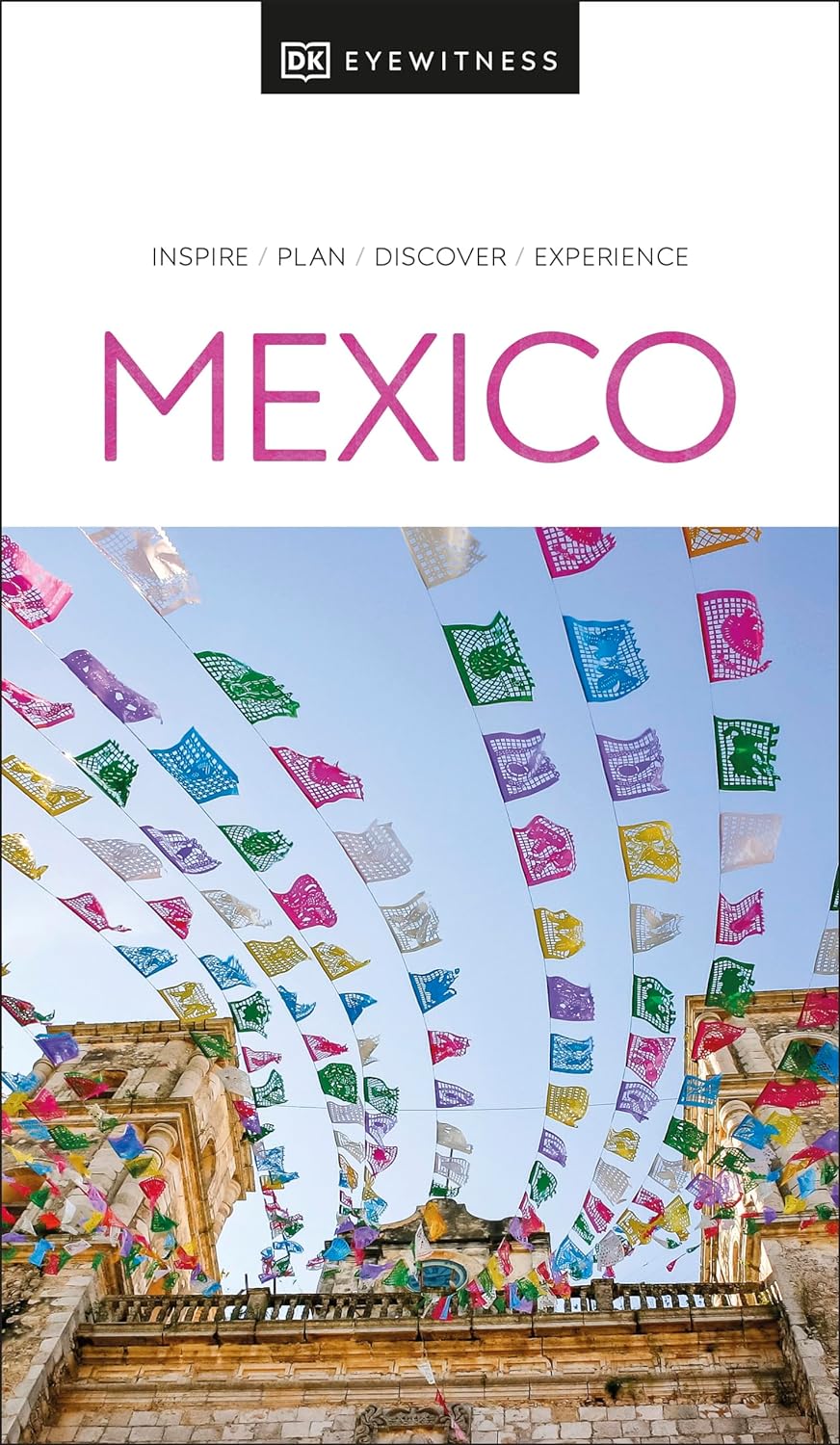
Prachtig geillustreerde reisgids met o.a. 3D tekeningen, fraaie kaarten en geweldige foto’s. Daarnaast uitgebreide achtergrondbeschrijvingen. Echt om in de stemming te komen! Groot formaat gids. Engelstalig.
Whether you want to explore jungle-clad Mesoamerican pyramids, swim in the crystal-clear waters of a cenote, or devour freshly made and flavorful street food. There are so many things to see and do in Mexico. Whatever your dream trip involves, this DK Eyewitness travel guide is the perfect companion.
Our updated guide brings Mexico to life, transporting you there like no other travel guide does with expert-led insights, trusted travel advice, detailed breakdowns of all the must-see sights, photographs on practically every page, and our hand-drawn illustrations, which take you inside the country's buildings and neighbourhoods.
You'll discover:
-Our pick of Mexico's must-sees and top experiences
-The best spots to eat, drink, shop and stay
-Detailed maps and walks that make navigating the region easy
-Easy-to-follow itineraries
-Expert advice: get ready, get around and stay safe
-Colour-coded chapters for each part of Mexico
-A lightweight format, so you can take it with you wherever you go
Want to explore one of Mexico's most popular spots? Try Top 10 Cancún and the Yucatán.
€ 13.95
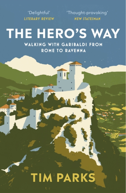
In the summer of 1849, Giuseppe Garibaldi, Italy's legendary revolutionary hero, fled Rome and led 4,000 of his men hundreds of miles through Umbria and Tuscany, then across the Apennines, Italy's mountainous spine, toward the refuge of the Venetian Republic. After thirty-two exhausting days of skirmishes and adventures, only 250 survivors reached the Adriatic coast.
This hair-raising journey is brought vividly to life by bestselling author Tim Parks, who in the blazing summer of 2019, followed in Garibaldi's footsteps. A fascinating portrait of Italy past and present, The Hero's Way is a celebration of determination, creativity and desperate courage.
€ 27.95
Featuring battlefield sites divided by wartime theater, World War II Battlefields allows the reader to explore well-known battle locations today and compare them to images captured during the height of the conflict.
Examine the huge concrete bunker at Fort Eben Emael, Belgium, captured by German glider troops in May 1940 and still intact today. See the beaches at Tarawa atoll, a scene of fierce fighting between the US Marines and the Japanese defenders in 1943, or the streets of the Ukrainian city of Kharkiv, the center of a bloody battle between the II SS Panzer Korps and the Red Army. Explore the Norman village of Villers-Bocage, where a few German Tiger tanks halted the advance of the British 7th Armoured Division a week after the D-Day landings. Visit the twin medieval towers of the bridge at Remagen on the Rhine river, made famous in photos and movies, or the dozens of Japanese ships sunk in Truk Lagoon following comprehensive American air attacks, and today a popular dive site. Examine Monte Cassino monastery in Italy, destroyed by Allied aerial bombing and since completely rebuilt as a place of pilgrimage. There are 75 sites in all.

