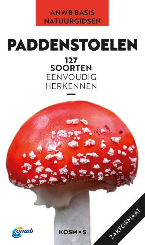
De ‘ANWB Basis natuurgids – Paddenstoelen’ staat boordevol informatie over eetbare en giftige paddenstoelen. Met gedetailleerde beschrijvingen kunnen ruim 120 bekende soorten eenvoudig worden herkend. Door de natuurgetrouwe tekeningen en prachtige foto’s zijn in één oogopslag alle opvallendste kenmerken terug te vinden. De indeling op kleurcodes maakt het zoeken supereenvoudig. Deze zakgids heeft een handig pocketformaat en is daardoor makkelijk mee te nemen tijdens elke natuurwandeling. Een beknopte gids met complete inhoud, ideaal voor een snelle en eenvoudige soortherkenning!
€ 15.00
€ 12.95
Handig op te vouwen stadsplattegrond van Lissabon, geplastificeerd. Met register en op de achterzijde een grove kaart van de omgeving en een metro-kaart .
Retrouvez tous les renseignements pratiques pour traverser Lisbonne à pied, en voiture, à vélo. Le plan MICHELIN Lisbonne plastifié au 1/17 000 soit
1cm = 170m est idéal pour parcourir les quartiers de la ville. Pour compléter l'information : transports, sens de circulation, parkings, renseignements pratiques (bâtiments publics, équipements sportifs, musées, théâtres, numéros téléphone utiles...)... et l'index complet de toutes les rues en annexe. Profitez de son format plastifié très résistant et pratique qui permet de dessiner et suivre son parcours.
€ 7.95
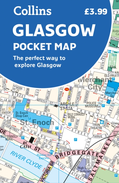
Clear, detailed, full color Collins mapping is presented in a handy format ideal for the pocket or handbag. It is excellent value and covers the most visited area of central Glasgow. It is an essential buy for tourists and residents alike.
This map includes:
Detailed central area map
Around Glasgow map extending to airport, Pollok Park and Strathclyde Park
Tourist locations
Train and bus stations
Listing of major places to visit
Detailed street index
€ 7.95
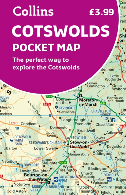
Handy little full colour map of the Cotswolds.
Main features of this map include:
• Clear mapping
• Main tourist attractions located and described
• Ideal for touring with sights, places to stay, cafe/restaurant, golf courses, things to do all on the map
• Essential travel information
• Index to places of interest and place names
Essential for those planning a trip around the Cotswolds.
€ 19.99
Op pelgrimstocht gaan betekent onthaasten, afstand nemen van het dagelijkse leven en vrijheid. Pelgrimsroutes zijn bronnen van kracht en ontmoetingsplaatsen, ze bieden een natuurervaring en een beleving van de geschiedenis. Met de juiste zelfinschatting, routekeuze en voorbereiding kan bijna iedereen de sprong wagen. Het hoeft niet altijd de St. Jacobsroute te zijn. Je kunt kiezen uit talloze pelgrimsroutes door heel Europa en daarbuiten. De auteur Cordula Rabe kijkt terug op meer dan 20 jaar pelgrimservaring. In dit boek deelt ze de kennis die ze heeft opgedaan en geeft ze inzicht in de dagelijkse praktijk van de pelgrimstocht. Zij geeft toekomstige pelgrims waardevolle adviezen en suggesties over de pelgrimstocht. Het boek is ook bedoeld als aanmoediging aan al diegenen die graag op pelgrimstocht willen gaan, maar nog twijfelen of ze er wel aan moeten beginnen. • Planning en voorbereiding van een pelgrimstocht: zelfevaluatie, routekeuze, training • De juiste kleding en uitrusting – met paklijst • Onderweg: voeding, onderdak, gezondheid • Tips voor het dagelijkse pelgrimsleven • Na de pelgrimstocht
Let op: er is enige verwarring omtrent het jaartal van deze Nederlandse wandelgidsen van uitgever Elmar. Dit is een vertaling van de Duitse uitgever Rother maar daarna NIET bijgewerkt. De datum die wij vermelden is het moment van vertaling; er zijn andere – meer recente jaartallen – in omloop maar dat is de datum van een nieuwe druk ZONDER aanpassingen. Wilt u de meest recente wandelgids van dit gebied van deze uitgever: kies dan de Duitstalige versie van uitgever Rother. Deze zijn recent en WEL bijgewerkt.
€ 25.95
De perfecte reisgids voor zowel de georganiseerde als de zelfstandige reiziger. Naast een algemene inleiding van het land / streek vol met praktische informatie over hoe je er het beste kunt reizen: slapen, eten, vervoer, excursies ... alles kun je er in vinden.
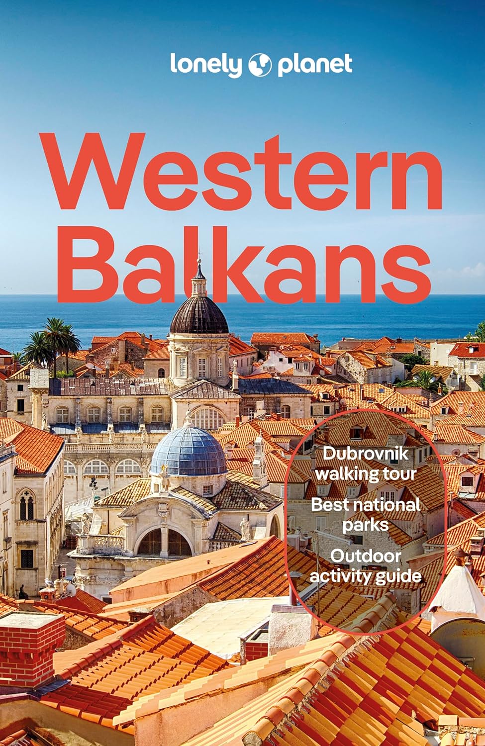
Lonely Planet's Western Balkans is your passport to the most relevant, up-to-date advice on what to see and skip, and what hidden discoveries await you. Catch the cable car up Mt Srd for breathtaking views of Dubrovnik, Croatia; watch the beautiful people over the rim of a coffee cup in Budva's cobbled Old Town lanes in Montenegro; and trek around the stunning landscapes of Kosovo's Rugova Mountains. All with your trusted travel companion. Get to the heart of the Western Balkans and begin your journey now!
Coverage includes: Albania, Bosnia & Hercegovina, Croatia, Kosovo, Montenegro, North Macedonia, Serbia, Slovenia and more
Inside Lonely Planet's Western Balkans:
Full-colour maps and images throughout
Highlightsand itineraries help you tailor your trip to your personal needs and interests
Insider tips to save time and money and get around like a local, avoiding crowds and trouble spots
Essential infoat your fingertips - hours of operation, phone numbers, websites, transit tips, prices
Honest reviews for all budgets - eating, sightseeing, going out, shopping, hidden gems that most guidebooks miss
Cultural insights provide a richer, more rewarding travel experience - history, art, food, drink, sport, politics
Covers: Albania, Bosnia & Herzegovina, Croatia, Kosovo, Macedonia, Montenegro, Serbia, Slovenia and more.
The Perfect Choice: Lonely Planet's Western Balkans is our most comprehensive guide to the Western Balkans, and is perfect for discovering both popular and off-the-beaten-path experiences.
€ 14.95
Neben der übersichtlichen Gestaltung bietet die Autokarte Island 1:400.000 zahlreiche Zusatzinformationen wie z.B. Sehenswürdigkeiten, Campingplätze und einen Innenstadtplan. Mit dem umfangreichen Ortsregister gelingt zudem eine rasche Orientierung. - Maßstab 1:400.000 - Wasserfest und reißfest - Cityplan Reykjavík - Ortsregister mit Postleitzahlen - 70 x 100 cm, doppelseitig
Goede wegenkaart van IJsland met alle mogelijke details; genoeg voor een gewone vakantie en tour rond het eiland. Met veel toeristische informatie op de kaart in de vorm van symbolen, o.a. voor campings, geysers, musea.
De berijdbare wegen zijn goed weergeven, zowel de hoofdwegen als provinciale en lokale wegen; wegnummers worden vermeld. Afstanden tussen plaatsen zijn in kilometers op de kaart ingetekend, daarnaast worden ook op belangrijke plekken benzinepompen gemarkeerd.
In het kaartbeeld wordt door middel van schaduw het reliëf weergegeven en soms enkele punten in het landschap met de daadwerkelijke hoogte. Provinciegrenzen zijn goed terug te vinden, nationale parken en reservaten ook. Met allerhande symbolen worden toeristische bezienswaardigheden weergegeven als monumenten, historisch belangrijke plekken en uitzichtpunten. In bepaalde plaatsen zijn hotels en campings te vinden, luchthavens, treinverbindingen en havens vindt u er ook op!
€ 12.50
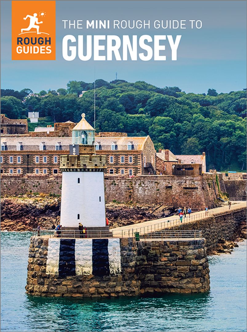
Een kleinere versie in zakformaat van de grotere versies van de Rough Guides. Als altijd weer vol met goede informatie over cultuur en praktische zaken. Achterin kleine plattegronden.
This pocket-sized guide is a convenient, quick-reference companion to discovering what to do, what to see and how to get around Guernsey. It covers top attractions like Castle Cornet, Fort Grey and Sausmarez Manor as well as hidden gems, including Le Creux ès Faies, Venus Pool and St Apolline's Chapel. This will save you time, and enhance your exploration of this fascinating island.
This Mini Rough Guide to Guernsey covers: St Peter Port, Fermain Bay, Jerbourg Point, Petit Port, Moulin Huet Bay, St Martin, Petit Bôt Bay, Vazon Bay, Cobo Bay, Rocquaine Bay, Fort Grey, Lihou Island, Le Grand Havre, Pembroke and L'Ancresse Bays, Fort Doyle, Bordeaux Harbour, Herm, Sark, Alderney
In this travel guide you will find:
RECOMMENDATIONS FOR EVERY TYPE OF TRAVELLER
Experiences selected for every kind of trip to Guernsey, from cultural explorations in St Peter Port to family activities in child-friendly places, like Cobo Bay and Oatlands Village, or chilled-out breaks in popular tourist areas, like Petit Bôt Bay.
TOP TEN ATTRACTIONS
Covers the destination's top ten attractions not to miss, including Castle Cornet, La Valette Underground Military Museum, La Vallette Bathing Pools and Candie Gardens, as well as a Perfect Day itinerary suggestions
COMPACT FORMAT
Compact, concise, and packed with essential information, with a sharp design and colour-coded sections, this is the perfect on-the-move companion when you're exploring Guernsey
HISTORICAL AND CULTURAL INSIGHTS
Includes an insightful overview of landscape, history and culture
WHAT TO DO
Detailed description of entertainment, shopping, nightlife, festivals and events, and children's activities
PRACTICAL MAPS
Handy colour maps on the inside cover flaps will help you find your way around
PRACTICAL TRAVEL INFORMATION
Practical information on Eating Out, including a handy glossary and detailed restaurant listings, as well as a comprehensive A-Z of travel tips on everything from getting around to health and tourist information.
STRIKING PICTURES
Inspirational colour photography throughout
€ 34.99
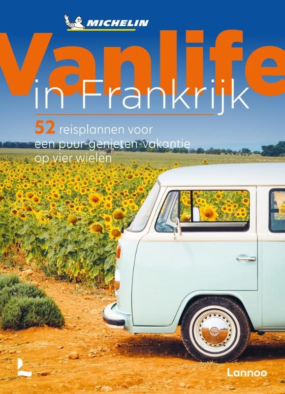
Vanlife staat voor ontsnappen aan de ratrace van alledag en is uitgegroeid tot een manier van leven.
Deze Frankrijkgids biedt ruim vijftig kant-en-klare vakantieplannen voor de moderne nomade die er even tussenuit wil. Onder het motto 'alles kan, niets moet' vormen de 1000 tips handige bouwstenen voor de ideale van-reis.
52 vakantievoorstellen voor vanlifers om door Frankrijk te reizen: in uw eigen tempo en in alle vrijheid
1000 uitstapideeën en activiteiten verspreid over alle regio's van Frankrijk
Met een uitgekiende selectie van unieke kampeerlocaties en (h)eerlijke eet- en drankgelegenheden
€ 29.99
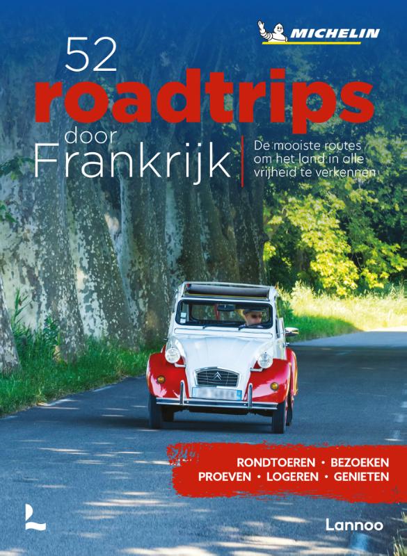
in om de Franse achthoek op eigen ritme en volgens je persoonlijke interesses te verkennen? Deze inspiratiegids biedt een schat aan informatie om Frankrijk te doorkruisen, netjes geordend volgens thema. Zet de gps uit en laat je verrassen door al het moois langs de groene departementswegen.
52 unieke routes om heel het jaar door een stukje Frankrijk te ontdekken
Met een uitgekiende selectie van kwaliteitsadressen om even te pauzeren, te proeven en te overnachten
Elke roadtrip staat in het teken van een van de vijf thema's:
kunst en erfgoed
geschiedenis
gastronomie
weidse panorama's
natuur

