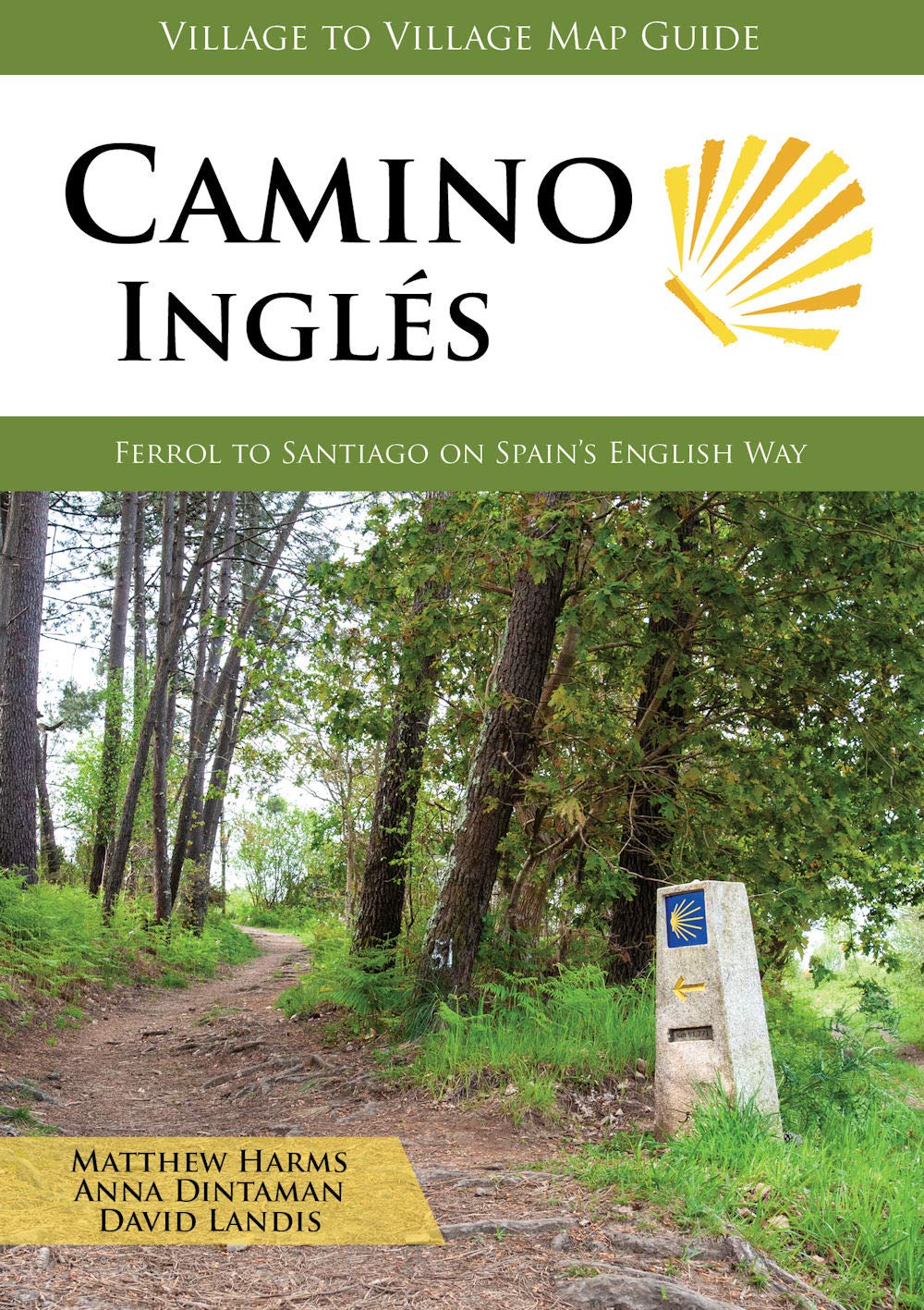
€ 24.95
Reisgids Best Road Trips Frankrijk - France | Lonely Planet

France Best Road Trips Lonely Planet is een Engelstalige praktische reisgids voor alle leeftijden, boordevol informatie over de route, accommodatie van budget tot luxe, en plaatsbeschrijvingen - kenmerk: kort en bondig.

Discover the freedom of the open road with Lonely Planet's France's Best Road Trips. This trusted travel companion features 38 amazing drives, from 2-day escapes to 2-week adventures. See Britanny's stunning coastline, explore medieval Burgundy, and trawl through Provence's markets. Get to France, rent a car, and hit the road!


Inside Lonely Planet's France's Best Road Trips:


Itineraries for classic road trips plus other lesser-known drives with expert advice to pick the routes that suit your interests and needs

Full-colour route maps - easy-to-read, detailed directions

Detours - delightful diversions to see France's highlights along the way


Link Your Trip - cruise from one driving route to the next


Insider tips - get around like a local, avoid trouble spots and be safe on the road - local driving rules, parking, toll roads

Stretch Your Legs - the best things to do outside the car


Essential info at your fingertips - hours of operation, phone numbers, websites, prices


Honest reviews for all budgets - eating, sleeping, sightseeing, hidden gems that most guidebooks miss

Lavish colour photography provides inspiration throughout


Covers Paris, Alsace, Normandy, Brittany, the Loire Valley, the Auvergne, Burgundy, the Rhone Valley, Provence, the Basque Country, the Pyrenees, and more.


The Perfect Choice: Lonely Planet's France's Best Road Trips is perfect for exploring France via the road and discovering sights that are more accessible by car.


Planning a France trip sans a car? Lonely Planet's France, our most comprehensive guide to France, is perfect for exploring both top sights and lesser-known gems.


About Lonely Planet: Lonely Planet is a leading travel media company, providing both inspiring and trustworthy information for every kind of traveller since 1973. Over the past four decades, we've printed over 145 million guidebooks and phrasebooks for 120 languages, and grown a dedicated, passionate global community of travellers. You'll also find our content online, and in mobile apps, videos, 14 languages, armchair and lifestyle books, ebooks, and more, enabling you to explore every day.

Covers: Paris, Normandy, Brittany, Breton Coast, Lyon, Nice, Cannes, St-Tropez, Chamonix, Marseille, Biarritz, St-Malo, Loire Valley, Auvergne, Provence, Alps, Lille and more

€ 23.95
Reisgids Madagascar - Madagaskar | Lonely Planet

De perfecte reisgids voor zowel de georganiseerde als de zelfstandige reiziger. Naast een algemene inleiding van het land / streek vol met praktische informatie over hoe je er het beste kunt reizen: slapen, eten, vervoer, excursies ... alles kun je er in vinden. Engelstalig. Lonely Planet

Lonely Planet's Madagascar is our most comprehensive guide that extensively covers all the country has to offer, with recommendations for both popular and lesser-known experiences. Spot chameleons and lemurs in national parks, haggle like a local in Antananarivo, and snorkel incredible coral reefs; get close to gorillas in Volcanoes National Park, Rwanda; all with your trusted travel companion.


Inside Lonely Planet's Madagascar Travel Guide:


Lonely Planet's Top Picks - a visually inspiring collection of the destination's best experiences and where to have them


Itineraries help you build the ultimate trip based on your personal needs and interests

Local insights give you a richer, more rewarding travel experience - whether it's history, people, music, landscapes, wildlife, politics


Eating and drinking - get the most out of your gastronomic experience as we reveal the regional dishes and drinks you have to try


Toolkit - all of the planning tools for solo travellers, LGBTQIA+ travellers, family travellers and accessible travel


Colour maps and images throughout

Language - essential phrases and language tips


Insider tips to save time and money and get around like a local, avoiding crowds and trouble spots


Covers Antananarivo and Around, Central Madagascar, The Desert, The Cape, Boeny Region, Tsiribihina River Region, Morondava Region, Nosy Be and Around, Ambanja Region, Antsiranana Region, Pangalanes Lakes, Tamatave and Around, Île Sainte Marie, Baie d'Antongil and the Masoala Peninsula, and more


€ 22.50
Reisgids Jamaica | Lonely Planet

De perfecte reisgids voor zowel de georganiseerde als de zelfstandige reiziger. Naast een algemene inleiding van het land / streek vol met praktische informatie over hoe je er het beste kunt reizen: slapen, eten, vervoer, excursies ... alles kun je er in vinden. Engelstalig.

Lonely Planet's Jamaica is our most comprehensive guide that extensively covers all the country has to offer, with recommendations for both popular and lesser-known experiences. Dance to the island's reggae soundtrack, go snorkelling at delicate Lime Cay, or swim in the cool mountain pools of Reach Falls; all with your trusted travel companion.


Inside Lonely Planet's JamaicaTravel Guide: 


Lonely Planet's Top Picks - a visually inspiring collection of the destination's best experiences and where to have them


Itineraries help you build the ultimate trip based on your personal needs and interests

Local insights give you a richer, more rewarding travel experience - whether it's history, people, music, landscapes, wildlife, politics


Eating and drinking - get the most out of your gastronomic experience as we reveal the regional dishes and drinks you have to try


Jamaica's best Waterfalls


Toolkit - all of the planning tools for solo travellers, LGBTQIA+ travellers, family travellers and accessible travel


Colour maps and images throughout

Language - essential phrases and language tips


Insider tips to save time and money and get around like a local, avoiding crowds and trouble spots


Covers Kingston, Blue Mountains, Ocho Rios, Dry Harbour Mountains, Port Antonio, Rio Grande Valley, Montego Bay, Negril, Mayfield Falls, Bluefields, Cockpit Country, Mandeville, Treasure Beach and more


€ 14.50
Wandelkaart 16 Traunstein - Waginger See | Kompass

Goede wandelkaart met vrijwel alle topografische details als hoogtelijnen, vegetatie, schaduwtekening maar ook de ingetekende wandelroutes en in veel gevallen ook fietsroutes (MTB). Gevaarlijke routes worden als zodanig weergegeven met een bepaalde markering. Berghutten en campings zijn goed terug te vinden op deze kaarten.


Daarnaast staan de toeristische bezienswaardigheden met symbolen vermeld. Kleurgebruik kan soms vrij fel overkomen, daardoor oogt deze detailkaart wellicht wat druk, maar het blijft een goed leesbare kaart. Sommige kaarten zijn geplastificeerd, maar helaas niet allemaal. De graden staan aan de zijkanten van de kaart, daardoor te gebruiken voor GPS.


Steden/dorpen/gebieden:

Trostberg, Tittmoning, Oberndorf (bei Salzburg), Laufen (an der Salzach), Mattsee, Salzburg, Piding, Inzell, Ruhpolding, Siegsdorf, Traunstein, Chieming, Waging (am See), Traunreut, Freilassing


Rivieren/meren:

Tachinger See, Waginger See, Salzach


€ 20.95
Reisgids Greek Islands - Griekse Eilanden | Lonely Planet

De perfecte reisgids voor zowel de georganiseerde als de zelfstandige reiziger. Naast een algemene inleiding van het land / streek vol met praktische informatie over hoe je er het beste kunt reizen: slapen, eten, vervoer, excursies ... alles kun je er in vinden. Engelstalig. Lonely Planet

Lonely Planet’s Greek Islands is your passport to the most relevant, up-to-date advice on what to see and skip, and what hidden discoveries await you. Meander the twisting, cobbled alleyways of Rhodes’ Old Town, venture into the hollow caldera of Nisyros Volcano, and indulge in fresh seafood, soft, tangy cheese and some of the world’s best olive oil on Crete; all with your trusted travel companion. Get to the heart of the Greek Islands and begin your journey now!


Inside Lonely Planet’s Greek Islands Travel Guide:


Up-to-date information - all businesses were rechecked before publication to ensure they are still open after 2020’s COVID-19 outbreak


Top experiences feature - a visually inspiring collection of the Greek Island’s best experiences and where to have them


Pull-out, passport-size 'Just Landed' card with wi-fi, ATM and transport info - all you need for a smooth journey from airport to hotel


Planning tools for family travellers - where to go, how to save money, plus fun stuff just for kids


Colour maps and images throughout


Highlightsand itineraries help you tailor your trip to your personal needs and interests


Insider tips to save time and money and get around like a local, avoiding crowds and trouble spots


Essential infoat your fingertips - hours of operation, websites, transit tips, prices


Honest reviews for all budgets - eating, sleeping, sightseeing, going out, shopping, hidden gems that most guidebooks miss


Cultural insights give you a richer, more rewarding travel experience - history, people, music, landscapes, wildlife, cuisine, politics


Over 105 maps


Covers Athens & Around, Saronic Gulf Islands, Cyclades, Crete, Dodecanese, Northeastern Aegean Islands, Evia & the Sporades and Ionian Islands


€ 9.50
Woordenboek Phrasebook & Dictionary East Timor - Oost Timor | Lonely Planet

Uiterst handige taalgids in prettig zakformaat. Inclusief woordenlijst, themahoofdstukken met standaardzinnen.

Its sad recent history has ensured that East Timor has spent a while off the tourist list - so anyone using Tetun, its most commonly spoken language, is practically guaranteed an enthusiastic response and a deeper cultural experience.

Easy-to-use tips for pronunciation and grammar
Useful suggestions for health needs and emergencies
Sustainable travel section
Best phrases for finding accommodation

€ 47.95
Wegenatlas Veibok Norge 2022 | Nordeca

Prima wegenatlas van Noorwegen op iets kleiner dan a4 formaat in ringband.  Met uitgebreid register waarmee de kleinste plaatsen zijn terug te vinden. Goed leesbaar. Met stadsplattegronden van Oslo, Bergen en Trondheim. 

Schaal 1:500.000

Wegenatlas Noorwegen in handige spiraalbinding. Editie 2022 in nieuwe heldere cartografie. Met campings en huttenpictogrammen.

Wegenatlas Noorwegen bevat overzichtskaarten en gedetailleerde kaarten, 80 kaarten en een plaatsnamen register van meer dan 30.000 namen. Kaartgegevens zijn bijgewerkt. Naast de plaatsaanduiding hebben de routekaarten duidelijke symbolen met vermelding van accommodatie, campings, auto-en passagiersschepen, zwemgebieden, ziekenhuizen, hulpdiensten, attracties. Stadsplattegronden tonen, parkeerplaatsen, toeristische informatie, treinstations, postkantoren, ziekenhuizen, accommodaties en attracties

€ 14.75
Wandelkaart Wanderfuhrer Pilgerweg - Loccum - Volkenroda | LGL Niedersachsen

Net ten Westen van de Harz loopt een langeafstandswandelpad van 300 km: de Pilgerweg. Dit wandelgidsje met goede wandelkaartjes beschrijft de route in 17 dagetappes.

Der Wanderführer Pilgerweg ist die geeignete Grundlage für jede Wanderung auf dem Pilgerweg Loccum-Volkenroda.
In zwei handlichen Heften im Schutzumschlag wird auf 108 Seiten der gesamte Weg in 17 Tagesetappen dargestellt. Detaillierte Karten im Maßstab 1:50.000 sowie Tipps und Informationen zu Sehenswürdigkeiten, Quartieren und Herausforderungsgrad der Etappen für Pilger zu Fuß und per Rad erleichtern die Planung und den Weg:

WANDERFÜHRER PILGERWEG
Vom Kloster Loccum zum Kloster Volkenroda mit amtlichen Karten im Maßstab 1:50.000
- Ein neuer Weg auf alten Pfaden -
Hg. v. LGN - Landesvermessung + Geobasisinformation Niedersachsen und der Evangelisch-lutherischen Landeskirche Hannovers, Redaktion und Textgestaltung: Andreas Litzke; Hannover 2007.


€ 16.50
Wandelgids P042 Le Verdon à pied | FFRP

Franstalige wandelgids met een beschrijving van een aantal dagtochten. Uitstekende beschrijvingen met duidelijk kaartmateriaal. Mislopen is nauwelijks mogelijk, maar ja .. de franse taal! Ook praktische informatie staat in deze gids. Alle gidsen bevatten een door ons toegevoegde uitgebreide frans - nederlandse wandelwoordenlijst.

"Le Verdon s'étire d'est en ouest entre Var et Alpes-de-Haute-Provence. Il traverse une vaste zone de moyenne montagne jalonnée d'agglomérations perchées sur les reliefs ou installées au cour du plateau de Valensole. Longer la rivière, c'est découvrir des paysages rares : escarpements enrésinés, eaux vertes des lacs de barrages, chaos rocheux, falaises et canyons vertigineux, sérénité des collines, oliviers et lavandes à perte de vue. C'est marcher au paradis de la randonnée. les marcheurs sportifs et entraînés apprécieront le célèbre sentier Martel, qui descend au fond du Grand Canyon. Les familles aimeront flâner dans les ruelles et autours des antiques cités de Castellane, Riez et Moustiers-Ste-Marie."

€ 17.95
Wandelgids D007 l' Ardèche a pied | FFRP

Franstalige wandelgids met een beschrijving van een aantal dagtochten. Uitstekende beschrijvingen met duidelijk kaartmateriaal. Mislopen is nauwelijks mogelijk, maar ja .. de franse taal! Ook praktische informatie staat in deze gids. Alle gidsen bevatten een door ons toegevoegde uitgebreide frans - nederlandse wandelwoordenlijst.

Entre Méditerranée et Auvergne, un beau métissage de paysages. Nouvelle édition à paraitre le 05/05/2014.


Adossée au versant sud-est du Massif Central et partagée entre influences auvergnates et méditerranéennes, l'Ardèche affiche une mosaïque de paysages et de milieux. De nombreuses rivières strient ce département et viennent alimenter le Rhône voisin.


Dès la fin de l'été, Ardèche, Chassezac ou Doux, gonflées de pluies torrentielles dévalent les pentes et creusent de profondes gorges dans la montagne ardéchoise. Il en résulte des phénomènes géologiques surprenants comme le Pont d'Arc ou la grotte Chauvet. Peut-être plus qu'ailleurs, la multiplicité des milieux a favorisé la diversité de la flore.


Du nord au sud, les marcheurs rencontrent la grande gentiane jaune, la violette puis les tourbières et les landes à genêts. Au sud, vers Tournon-sur-Rhône apparaissent le chêne vert, le pin d'Alep, le thym. Les terrasses et collines se couvrent d'oliviers, de vigne ou de lavande. La Méditerranée n'est plus loin.

Abonneer op