€ 19.95
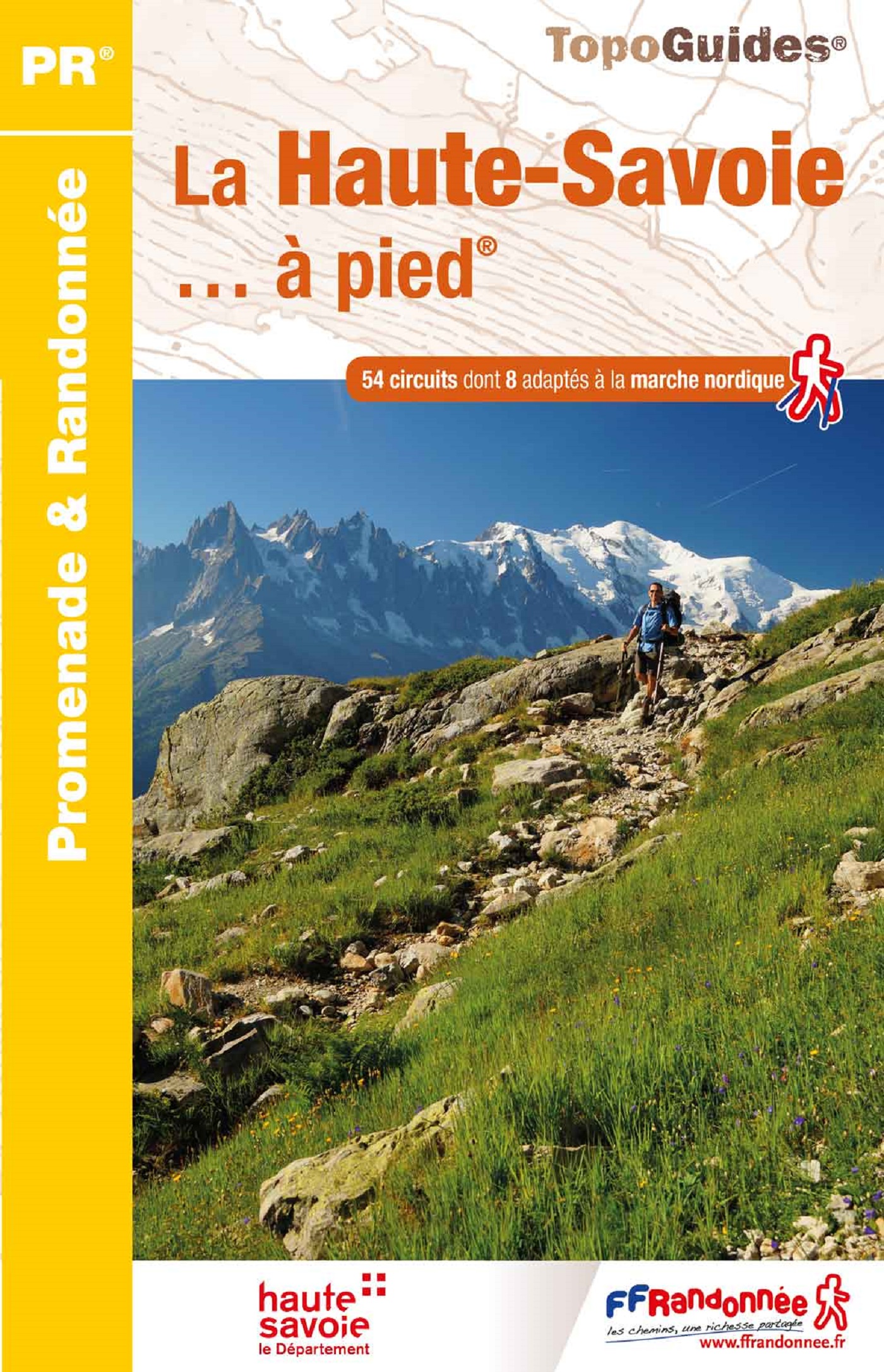
Wandelgids D074 La Haute-Savoie... à pied | FFRP

Franstalige wandelgids met een beschrijving van een aantal dagtochten. Uitstekende beschrijvingen met duidelijk kaartmateriaal. Mislopen is nauwelijks mogelijk, maar ja .. de franse taal! Ook praktische informatie staat in deze gids. Alle gidsen bevatten een door ons toegevoegde uitgebreide frans - nederlandse wandelwoordenlijst.

54 Promenades et randonnées, dont plusieurs nouveautés, à travers la Haute-Savoie, ses montagnes couvertes de sapins enneigés et ses alpages où paissent des troupeaux faisant sonner leurs clarines


Bienvenue au pays du Mont Blanc ! Mais ne vous y trompez pas : si la Haute-Savoie abrite la Mecque de l'alpinisme, elle est aussi le paradis des randonneurs ! Au delà des sentiers GR® (les prestigieux GR® 5 et GR® Tour du Mont Blanc), découvrez la diversité des paysages d'un département à la démographie et l'économie dynamiques.


Eaux pures des lacs, fraîcheur des forêts profondes, horizons lointains des crêtes aériennes, vie pastorale des alpages... Des paysages grandioses vous attendent à travers des milieux naturels conciliant faune et flore préservées, activités rurales et patrimoine riche de traditions.

 

€ 14.95
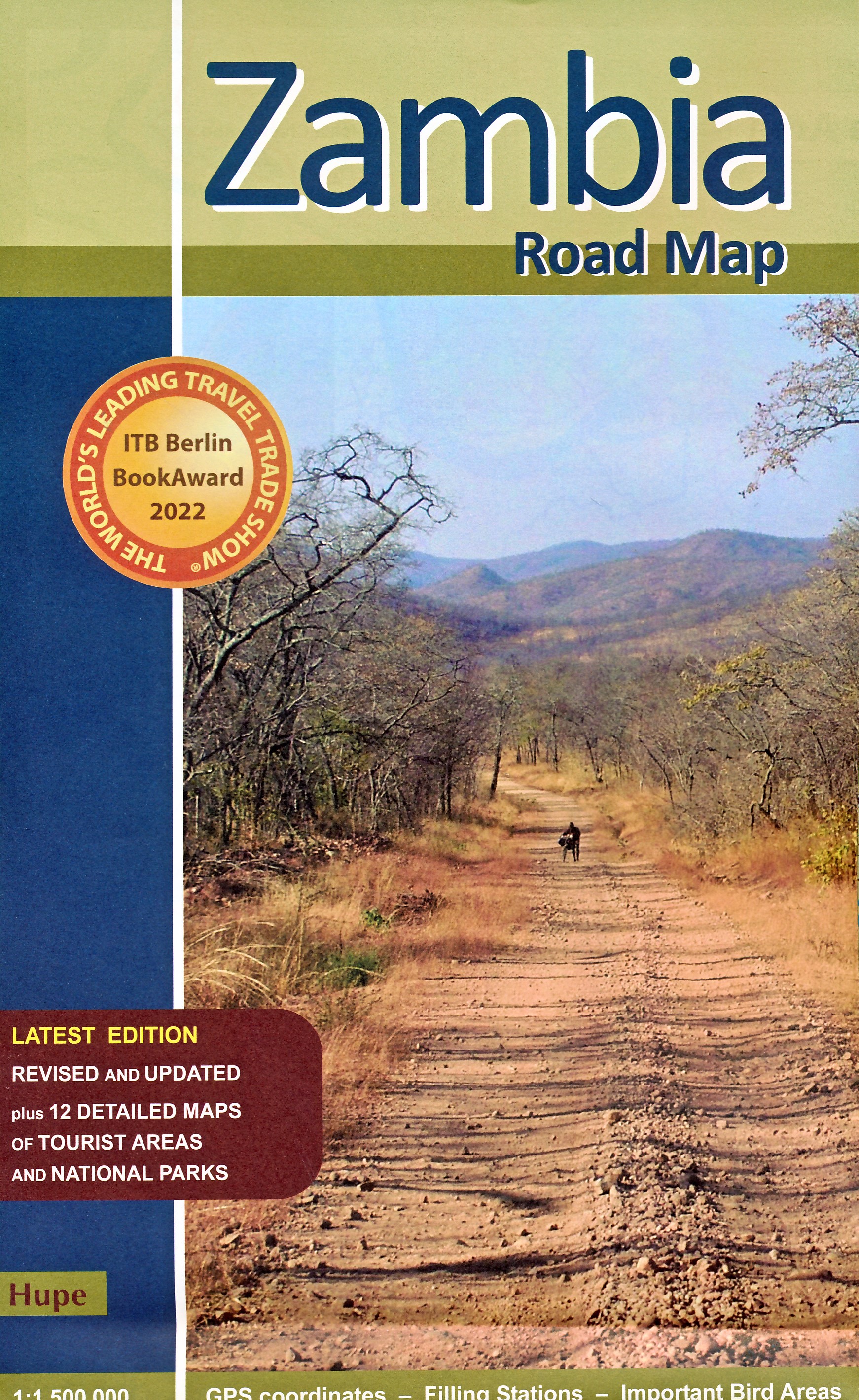
Wegenkaart - landkaart Zambia | Hupe Verlag

Wegenkaart van Zambia met 42 belangrijke vogelgebieden, afstandtabel en vermelding van tankstations.

Met grote plattegronden + gedetailleerde kaarten van Lusaka en Livingstone

Met tal van gedetailleerde kaarten van nationale parken: Luangwa Valley - South Luangwa NP - North Luangwa NP - Kafue NP - Mosi oa Tunya NP - Mfuwe Area - Kasanka NP - Livingstone / Victoria Falls


€ 17.50
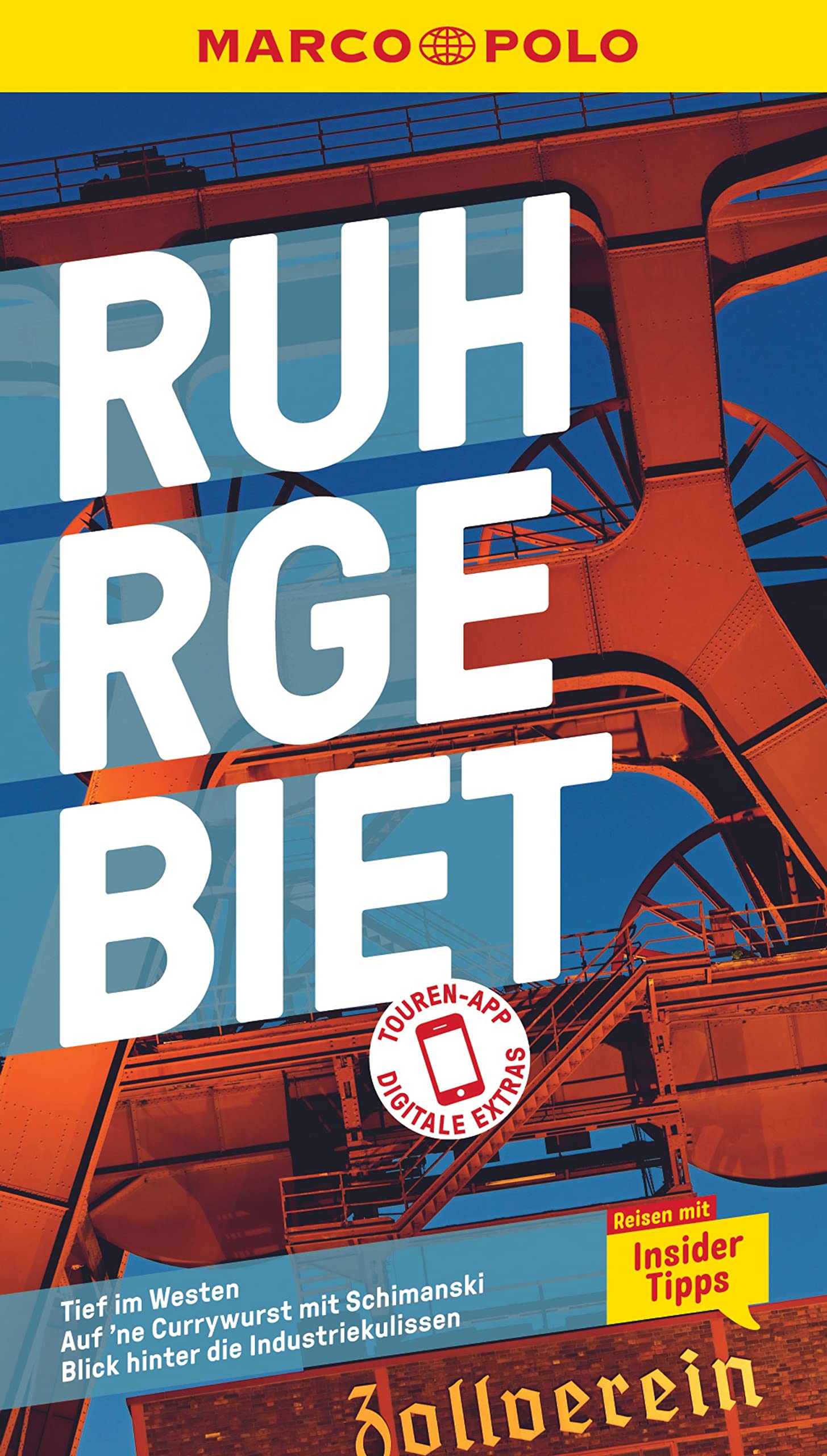
Reisgids Marco Polo DE Ruhrgebiet | MairDumont

Duitstalige reisgids. Inhoudelijk goede gids met zowel praktische informatie als culturele en bezienswaardigheden beschrijvingen. Met losse kaart.

Wirf einen Blick hinter die Industriekulissen mit dem MARCO POLO Reiseführer Ruhrgebiet Wunderschöne Natur und pulsierendes Stadtleben: Im Ruhrgebiet erwartet dich jede Menge Abwechslung! Erkunde stillgelegte Industriegelände, lass dich verzaubern von Hattingens Fachwerkidylle oder spring in den Baldeneysee in Essen. Vielfältig und widersprüchlich – mit deinem MARCO POLO Reiseführer im Gepäck erlebst du die Faszination des Ruhrgebiets hautnah!


Liebe auf den zweiten Blick: Erkunde das Ruhrgebiet mit den MARCO POLO Erlebnistouren und der kostenlosen Touren-App

Region der Kontraste: Entdecke mit den MARCO POLO Insider-Tipps, was die Einheimischen am Ruhrgebiet lieben

Im Pott wirst du satt und glücklich: Die besten Restaurants, Cafés und Bars jeden Geschmack und jeden Geldbeutel!

Smarter reisen mit komplett überarbeiteten Karten und Stadtplänen

Keine Zeit für Langeweile: Best-of-Tipps für den Urlaub mit Kindern, bei Regenwetter und Low-Budget

Hier liegt noch Kohle in der Luft: Unterwegs im Ruhrgebiet mit MARCO POLO


Mit dem Mountainbike die Halde hinabsausen, klettern zwischen Hochöfen oder mal das Stand-up-Paddeln ausprobieren: Das Ruhrgebiet hat mehr als Fußball zu bieten! Wusstest du zum Beispiel, dass Duisburg am Rhein mehr Brücken besitzt als Venedig? Genieß den spektakulären Ausblick vom Tetraeder, der begehbaren Riesenskulptur in Bottrop, oder lass dich im Park der Villa Hügel unter dem Mammutbaum fotografieren, wo die Industriellenfamilie Krupp einst residierte. 


Ballungsgebiet und Bergbauromantik: Mit dem MARCO POLO Reiseführer Ruhrgebiet tauchst du ganz tief ein in den Facettenreichtum des Potts!

€ 11.50
Stadsplattegrond Stockholm | Borch

Borch Stockholm is een duidelijke, geplastificeerde plattegrond van het centrum met informatie over openbaar vervoer en bezienswaardigheden. Inclusief straatnamenregister.


Our soft-laminated folded map of Stockholm shows: Stockholm 1:15 000, Gamla Stan 1:7 500, Greater Stockholm 1:100 000, Public Transport Stockholm, Sweden administrative & time zones, Top 30 Sights. Borch Maps show hotels, museums, monuments, markets, public transport, top sights and points of interest, useful statistics, conversion charts for temperatures, weights and measurements, climate charts showing temperatures, sunshine hours, precipitation and humidity, overview maps, time zones, and much more...


Stockholm is Sweden's capital, largest and most populous city, with a population of just under one million in the city and just over two million in its major metropolitan area. Founded around the 13th century, Stockholm was always and remains the cultural, political and economic center of Sweden and is today a city of global importance with top rankings in international surveys. This famously beautiful city and environmentally exemplary capital (with no heavy industry) is home to both the parliament (Riksdag) and monarchy (Drottningholm Palace, one of several). Geographically located on Sweden's south central east coast, where Lake Mälaren meets the Baltic Sea, 26% of "Stockholmers" are of a non-Swedish background, this fact may contribute to the international range of restaurants here, which include nine Michelin stars. The old town is known as "Gamla Stan" (featured on our map), is located on one of the original city islets and has an interesting medieval street network. Apart from the above, festivals of every type, museums, palaces, art galleries and fascinating architecture make beautiful Stockholm so much more than just another lovely Scandinavian city.


€ 10.25
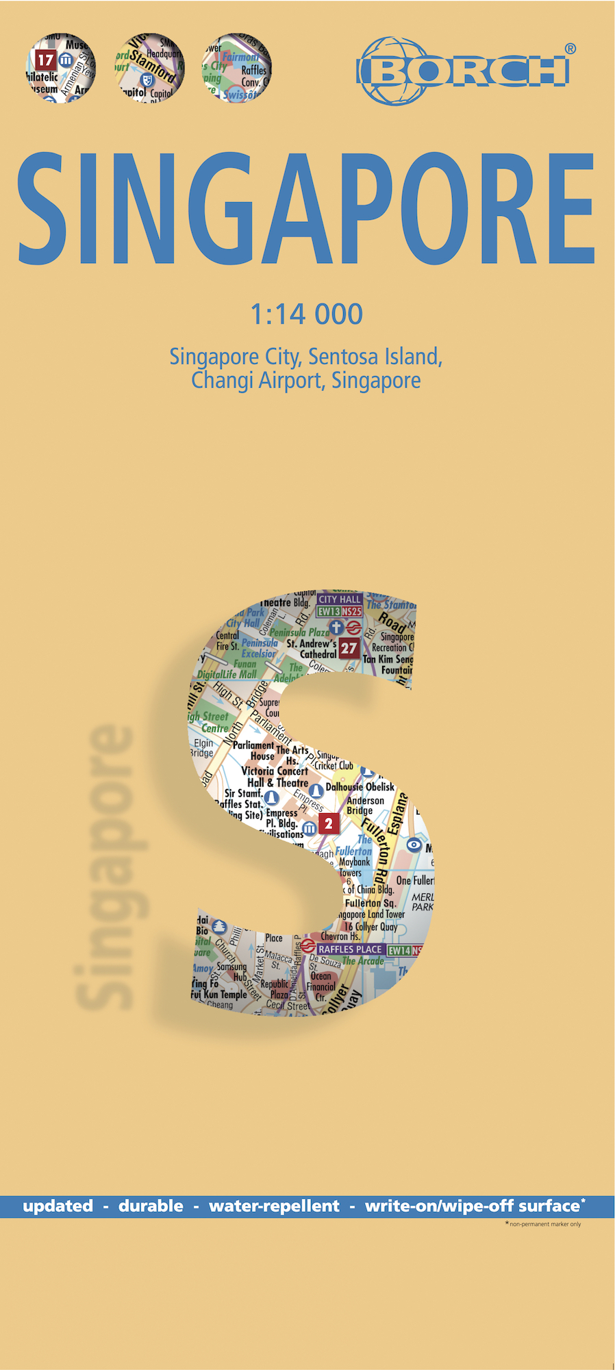
Stadsplattegrond Singapore | Borch

Borch Singapore is een duidelijke, geplastificeerde plattegrond van het centrum met informatie over openbaar vervoer en bezienswaardigheden. Inclusief straatnamenregister.

Our soft-laminated folded map of Singapore shows: Singapore City 1:14 000, Singapore 1:120 000, Sentosa Island 1:25 000, Changi Airport 1:4 000 and the Public Transportation SMRT schematic map. Borch Maps are easy to fold, durable and water-repellent with a wipeable surface. Borch Maps show hotels, museums, monuments, markets, public transport, top sights and points of interest, useful statistics, conversion charts for temperatures, weights and measurements, climate charts showing temperatures, sunshine hours, precipitation and sea temperatures, overview maps and much more...


The Republic of Singapore (also known as "Lion City", although history tells us Singapore's founder probably meant "tigers") is a very clean and orderly city-state located on the southern tip of the Malay Peninsula, with Changi airport usually placed at the top of the "world's best" lists. It is the fifth wealthiest country in the world and the smallest state in southeastern Asia, although far larger than Monaco and Vatican City (the world's only other sovereign city-states). It is the only Asian country which has English as its first language, 36% of its population are foreigners, it is the second most densely populated country in the world and its standards in just about everything are very high. Singaporean cuisine is diverse and delicious and like the culture a blend of Chinese, Malay, Indian and Arabic influences. Independence from Britain was declared in 1963 and Singapore gained its sovereignty in 1965. See the Orchard Road, the temples, Singapore Zoo, go on a night safari, eat at the food courts, pay homage to Sir Stamford Raffles (the founder of modern-day Singapore) by enjoying a Singapore Sling in the world-famous Long Bar in Raffles Hotel, see the casinos at Sentosa Resort, the list of attractions is far too long for this small space.

€ 25.99
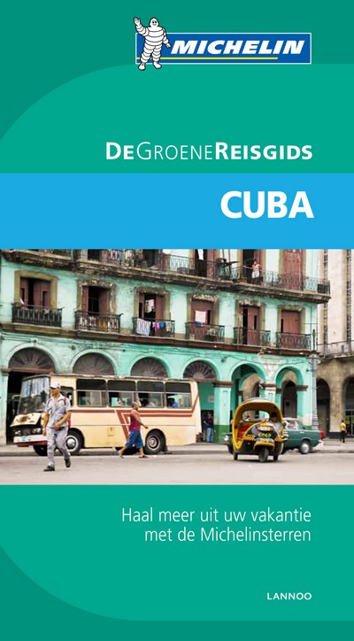
Reisgids Michelin groene gids Cuba | Lannoo

De serie Groene Gidsen van Michelin is een beproefde en betrouwbare reisgidsenreeks. Of u nu lekker lang op vakantie gaat of er zomaar even tussenuit trekt, de Groene Gids wijst u de weg naar alle bijzonderheden die uw reisbestemming te bieden heeft op een boeiende, grondige en praktische manier. Een handige sterrenbeoordeling vertelt u wat de reis of een uitstap waard is. Dankzij het handige adressenboekje bij elke stad hebt u een mooie keuze van eet-, slaap-, winkel- en andere ontspanningsadresjes. De praktische inlichtingen geven u bijzonder nuttige tips ter voorbereiding van uw reis of uitstap en tal van suggesties om optimaal van uw reis te kunnen genieten. De grondig uitgewerkte inleiding biedt u alle geografische, historische en culturele achtergrondinformatie over uw reisbestemming. De heldere cartografie wijst u de weg door middel van stadsplattegronden, plattegronden van bezienswaardigheden, thematische kaarten, kaarten met toeristische rondritten en overzichtskaarten.

€ 14.99
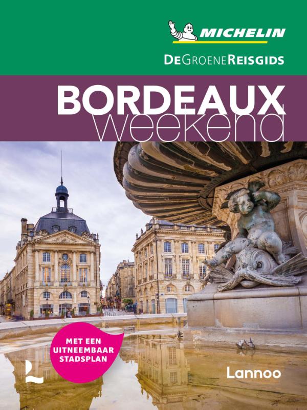
Reisgids Michelin groene gids weekend Bordeaux | Lannoo

Geen tijd te verliezen: je krijgt een uitgebreid blok praktische informatie vanaf pagina 1! Door de handige opdeling van de stad in wijken kun je snel kiezen waar je heen wilt. Op de uitneembare stadsplattegrond vind je alle in de gids besproken restaurants en hotels terug. Met een handige kaart van het openbaar vervoer. Met een EHBO-woordenlijst.

Met extra aandacht voor de must sees en must do's in Bordeaux

Bordeaux (of meer) in 3 dagen: met een uitgewerkt reisplan

Meer dan 160 adressen om gezellig te tafelen, een glaasje te drinken, uit te gaan of te shoppen

De hoogtepunten van Bordeaux, met de handige Michelin sterrenbeoordeling

Overzichtelijke stadsplattegronden op basis van de beproefde Michelincartografie

€ 25.95
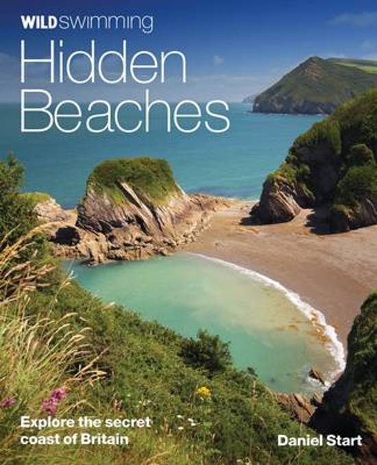
Reisgids - Natuurgids Hidden Beaches | Wild Things Publishing

Wild Swimming British Coast is een gids met beschrijvingen en foto's van de mooiste plekken om te zwemmen in de vrije natuur langs de kust van Engeland, Schotland en Wales (Groot-Brittannie).

IThe fully revisied second edition of Wild Swimming Coast now includes even more for walkers, swimmers and explorers: Full national coverage of Britain's most beautiful beaches Lagoons, sea caves and amazing places to snorkel New 1:25,000 Ordnance Survey mapping Best beach cafes, local food, pubs and campsites Where to sea kayak, coasteer and swim with dolphins


Best activities with children and families This revised and expanded edition of the best-selling coastal classic features the same winning formula of stunning photography, engaging travel writing and practical guidance. It is set to continue as the definitive guide to Britain's secret beaches and hidden coastline.


Imagine a summer of swimming and exploring by the sea - finding secret steps down to white sand coves or smugglers' tunnels that lead to purple caves and rockpool lagoons. Packed with practical information and inspirational photography, Wild Swimming Coast opens up a magical new world of coastal exploration. 


Over 400 coastal swims, following on from the success of Wild Swimming, a guide to inland dips.

Whether you want to swim with dolphins off the coast of Cornwall or explore the caves off Dorset, there are activities for all the family plus info on local history and resorts.


Following the huge success of last summer's best-selling Wild Swimming (a guide to the very best inland dips), Punk Publishing is launching its brand new companion guide - Wild Swimming: Coast. With this salty 'sea-quel' you can discover and enjoy over 300 magical swims, adventures and days out at some of the least discovered parts of our stunning coast.


From the dolphin-inhabited waters off the Cornish coast, to desert islands in Norfolk, award-winning author Daniel Start leads us away from the crowded, commercial beaches to the lesser-known magical inlets, secret smugglers' coves, majestic rock formations and deep blue lagoons.


Illustrated with over 250 spectacular photos and five useful maps, this beautifully produced book is sure to inspire you to discover and enjoy all that's great about our British coast. 

€ 10.25
Stadsplattegrond Toronto | Borch

Borch Toronto is een duidelijke, geplastificeerde plattegrond van het centrum met informatie over openbaar vervoer en bezienswaardigheden. Inclusief straatnamenregister.


Our soft-laminated folded map of Toronto shows: Toronto City 1:17 500, The Beaches 1:17 500, Toronto Islands 1:20 000, Toronto & Region 1:500 000, Niagara Falls 1:25 000, Public Transport Toronto, Canada administrative & time zones and Top 30 Sights. Borch Maps are easy to fold, durable and water-repellent with a wipeable surface. Borch Maps show hotels, museums, monuments, markets, public transport, top sights and points of interest, useful statistics, conversion charts for temperatures, weights and measurements, climate charts showing temperatures, sunshine hours, precipitation and humidity, overview maps, time zones, and much more...


Toronto, Canada’s largest city and commercial capital, is the capital of the province of Ontario. Telecommunication, transportation, aerospace, business services, finance, media, film, arts, television productions, publishing, medical research, education and the tourism and sports industries are only some of the main economic sectors of this globally-recognised business capital. The Toronto Stock Exchange, the seventh largest in the world, as well as many important Canadian corporations and numerous professional sports teams, are at home here. The CN Tower dominates the imposing skyline of this great city. The Torontonians enjoy living in their city noted for its international and cosmopolitan flair, which is ranked internationally as one of the cleanest, safest, as well as one of the most environmentally responsible and livable cities in the world. Worth visiting!


Abonneer op