€ 14.99
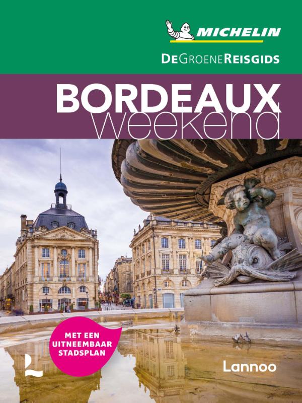
Reisgids Michelin groene gids weekend Bordeaux | Lannoo

Geen tijd te verliezen: je krijgt een uitgebreid blok praktische informatie vanaf pagina 1! Door de handige opdeling van de stad in wijken kun je snel kiezen waar je heen wilt. Op de uitneembare stadsplattegrond vind je alle in de gids besproken restaurants en hotels terug. Met een handige kaart van het openbaar vervoer. Met een EHBO-woordenlijst.

Met extra aandacht voor de must sees en must do's in Bordeaux

Bordeaux (of meer) in 3 dagen: met een uitgewerkt reisplan

Meer dan 160 adressen om gezellig te tafelen, een glaasje te drinken, uit te gaan of te shoppen

De hoogtepunten van Bordeaux, met de handige Michelin sterrenbeoordeling

Overzichtelijke stadsplattegronden op basis van de beproefde Michelincartografie

€ 25.95
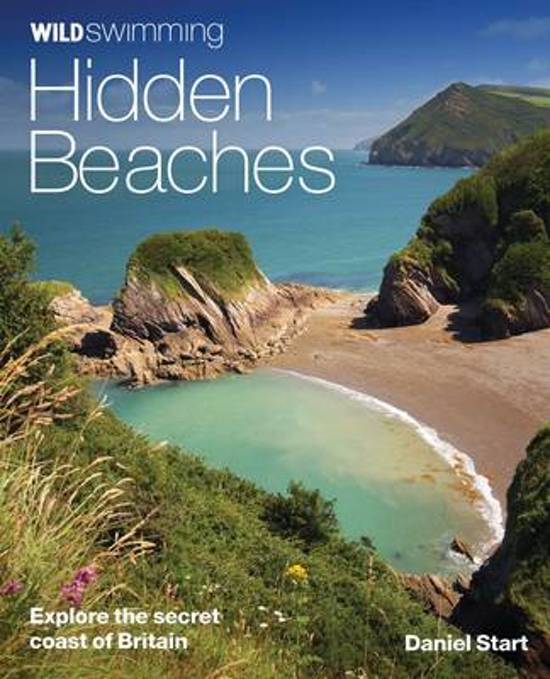
Reisgids - Natuurgids Hidden Beaches | Wild Things Publishing

Wild Swimming British Coast is een gids met beschrijvingen en foto's van de mooiste plekken om te zwemmen in de vrije natuur langs de kust van Engeland, Schotland en Wales (Groot-Brittannie).

IThe fully revisied second edition of Wild Swimming Coast now includes even more for walkers, swimmers and explorers: Full national coverage of Britain's most beautiful beaches Lagoons, sea caves and amazing places to snorkel New 1:25,000 Ordnance Survey mapping Best beach cafes, local food, pubs and campsites Where to sea kayak, coasteer and swim with dolphins


Best activities with children and families This revised and expanded edition of the best-selling coastal classic features the same winning formula of stunning photography, engaging travel writing and practical guidance. It is set to continue as the definitive guide to Britain's secret beaches and hidden coastline.


Imagine a summer of swimming and exploring by the sea - finding secret steps down to white sand coves or smugglers' tunnels that lead to purple caves and rockpool lagoons. Packed with practical information and inspirational photography, Wild Swimming Coast opens up a magical new world of coastal exploration. 


Over 400 coastal swims, following on from the success of Wild Swimming, a guide to inland dips.

Whether you want to swim with dolphins off the coast of Cornwall or explore the caves off Dorset, there are activities for all the family plus info on local history and resorts.


Following the huge success of last summer's best-selling Wild Swimming (a guide to the very best inland dips), Punk Publishing is launching its brand new companion guide - Wild Swimming: Coast. With this salty 'sea-quel' you can discover and enjoy over 300 magical swims, adventures and days out at some of the least discovered parts of our stunning coast.


From the dolphin-inhabited waters off the Cornish coast, to desert islands in Norfolk, award-winning author Daniel Start leads us away from the crowded, commercial beaches to the lesser-known magical inlets, secret smugglers' coves, majestic rock formations and deep blue lagoons.


Illustrated with over 250 spectacular photos and five useful maps, this beautifully produced book is sure to inspire you to discover and enjoy all that's great about our British coast. 

€ 10.25
Stadsplattegrond Toronto | Borch

Borch Toronto is een duidelijke, geplastificeerde plattegrond van het centrum met informatie over openbaar vervoer en bezienswaardigheden. Inclusief straatnamenregister.


Our soft-laminated folded map of Toronto shows: Toronto City 1:17 500, The Beaches 1:17 500, Toronto Islands 1:20 000, Toronto & Region 1:500 000, Niagara Falls 1:25 000, Public Transport Toronto, Canada administrative & time zones and Top 30 Sights. Borch Maps are easy to fold, durable and water-repellent with a wipeable surface. Borch Maps show hotels, museums, monuments, markets, public transport, top sights and points of interest, useful statistics, conversion charts for temperatures, weights and measurements, climate charts showing temperatures, sunshine hours, precipitation and humidity, overview maps, time zones, and much more...


Toronto, Canada’s largest city and commercial capital, is the capital of the province of Ontario. Telecommunication, transportation, aerospace, business services, finance, media, film, arts, television productions, publishing, medical research, education and the tourism and sports industries are only some of the main economic sectors of this globally-recognised business capital. The Toronto Stock Exchange, the seventh largest in the world, as well as many important Canadian corporations and numerous professional sports teams, are at home here. The CN Tower dominates the imposing skyline of this great city. The Torontonians enjoy living in their city noted for its international and cosmopolitan flair, which is ranked internationally as one of the cleanest, safest, as well as one of the most environmentally responsible and livable cities in the world. Worth visiting!


€ 14.95
Wegenkaart - landkaart Tanzania | Freytag & Berndt

Prima wegenkaart - landkaart van Tanzania, nu met een nieuwe schaal van 1:1.300.000.

Met uitgebreide legenda zodat campings, tankstations, bezienswaardigheden en dergelijke staan aangegeven.

Explore Tanzania with this Freytag & Berndt road map. The best way to plan your trip, prepare your itinerary, and to travel independently in this country.


This map includes an index on the back, and touristic information on this map includes accommdation, international airports, museums, places of particular interest, antique sites and river/canal systems.

€ 17.95
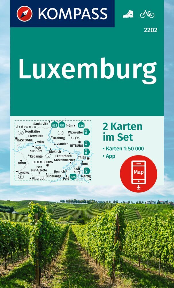
Wandelkaart - Fietskaart 2202 Luxemburg | Kompass

De KOMPASS wandelkaarten overtuigen door

-een GPS-nauwkeurige en actuele kaart met eenvoudige oriëntatie 

- gebruiksvriendelijke lay-out en de ideale schaal van 1:50.000 / 1:25.000 / 1:35.000. 


Het informeert over plaatsen en schuilhutten evenals aanbevolen route, bezienswaardigheden en recreatieve voorzieningen. 

De GPS-nauwkeurige KOMPASS-kaarten zijn perfect voor je volgende tour! De gebruiksvriendelijke schaal en nuttige informatie over de regio maken uw planning eenvoudiger. KOMPASS-kaarten bevatten alles wat de moeite waard is om te weten voor de outdoor kenner. Wandel- en fietspaden met markeringen afhankelijk van de moeilijkheidsgraad, bijbehorende contourlijnen en vegetatievormen, evenals uitgebreide toeristische informatie.


Das Großherzogtum grenzt an Frankreich, Belgien und Deutschland und ist einer der kleinsten Staaten der Welt- flächenmäßig! - In den Ardennen im Nordwesten warten weite Nadelwälder auf unternehmungslustige Wanderer und Radfahrer. Im Osten bildet die Mosel auf rund 40 km die Grenze zu Deutschland – hier kann man auf schönen Routen durch die Weinregion sportlichen und lukullischen Genuss kombinieren. Mit Felsformationen, Sturzbächen und Schluchten bezaubert die „kleine Schweiz“im Nordosten. Hier ist auch die älteste Stadt zu finden – Echternach, historisches Highlight der Region.


€ 14.95
Reisverhaal The Sea Kingdoms - The history of Celtic Britain and Ireland | Alistair Moffat

Prachtig werk over de geschiedenis van Celtisch Groot Brittanië en Ierland door Alistair Moffat.

Alistair Moffat's journey, from the Scottish islands and Scotland, to the English coast, Wales, Cornwall and Ireland, ignores national boundaries to reveal the rich fabric of culture and history of Celtic Britain which still survives today. This is a vividly told, dramatic and enlightening account of the oral history, legends and battles of a people whose past stretches back many hundred of years.

"The Sea Kingdoms" is a story of great tragedies, ancient myths and spectacular beauty. Alistair Moffat was born and raised in Kelso. He took degrees at the universities of St Andrews, Edinburgh and London and played rugby for Kelso and his universities. In 1976, he took charge of the Edinburgh Festival Fringe as it grew into the largest arts festival in the world. He now lives in Selkirk. "The Sea Kingdoms" has previously been published by HarperCollins.

€ 16.50
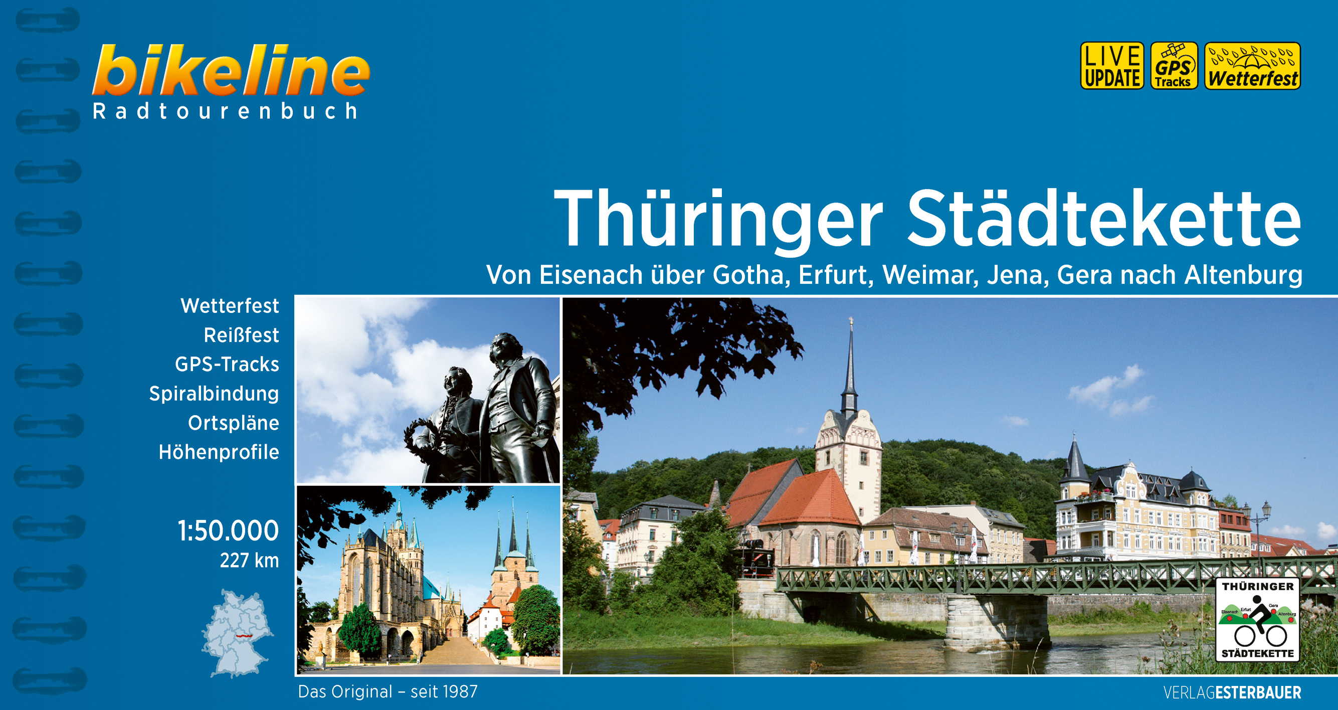
Fietsgids Bikeline Thüringer Städtekette | Esterbauer

Ensemble von Dom St. Marien und Severikirche. Durch das Weimarer Land erreichen Sie die Goethe- und Schiller-Stadt Weimar in der auch Cranach, Bach, Nietzsche, Liszt und Feininger lebten und wirkten. Die Strecke führt danach kurz im Ilmtal entlang und dann im Großschwabhausener Grund bis sie schließlich in der Universitätsstadt Jena den Saale-Radweg erreicht.

Die Saale begleitet den Radfernweg Thüringer Städtekette für einige Kilometer bis die Städtekette hinter Lobeda nach Osten und nach Stadtroda führt. Durch den Zeitzgrund und durch das Mühltal führt die Route an die Weiße Elster und begleitet den Fluss in die Otto-Dix-Stadt Gera. Die Anlagen der Bundesgartenschau (BUGA) ‘07 und die „Neue Landschaft“ überraschen Sie bis Ronneburg.

Durch das Sprottetal kommen Sie ganz in den Osten Thüringens und somit an das Ziel – die Spielkartenstadt und Wiege des Skatspieles, Altenburg.


Streckencharakteristik

Länge


Die Gesamtlänge des Radfernweges beträgt rund 225 Kilometer.

Wegequalität & Verkehr


Der Radweg Thüringer Städtekette verläuft zum Großteil auf asphaltierten Wegen und Nebenstraßen, es kommen nur kurze unbefestigte oder gepflasterte Abschnitte vor. Entlang der gesamten Strecke kommt es zu keinerlei direkter Verkehrsbelastung. Mit erhöhtem Verkehrsaufkommen ist nur in den Städten zu rechnen.

Beschilderung


Die Thüringer Städtekette ist in beiden Richtungen vollständig beschildert, es sind quadratische Schilder mit einem schwarzen Radler und im Hintergrund die grünen Hügel Thüringens. Teilweise finden sich auch weiße Schilder mit grünem Fahrrad drauf. 


€ 7.50
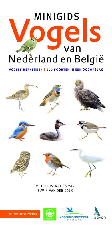
Natuurgids Minigids Vogels van Nederland en België | KNNV Uitgeverij

De ideale begeleider voor wandelingen en vogelexcursies. Deze handige uitvouwkaart leert je in een oogopslag 200 soorten vogels van Nederland en België herkennen. Gerangschikt naar leefgebied (stad, tuin, park, bos, kust enz.) en groep (eenden, roofvogels, uilen enz.). 


- 200 soorten vogels van Nederland en België in een oogopslag

- de soorten gerangschikt naar leefgebied en groep

- trefzekere illustraties en details over periode van voorkomen

- inclusief kaart met top vogelgebieden

- praktische uitvouwkaart: ideaal formaat en gewicht


De opvolger van de succesvolle 'Herkenningskaart vogels van Nederland'. Vormt samen met de 'Zakgids Vogels van Nederland' de perfecte vogelgids voor beginnende vogelaars.

€ 11.95
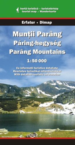
Wandelkaart Muntii Parang - Parang Mountains | Dimap

Goede wandelkaart van een specifiek deel van Roemenie. Ondanks het feit dat dit voormalig Oostblok-land nog een hoop heeft in te halen, zijn deze detailkaarten van een uitstekend nivo. Voorzien van alle noodzakelijke informatie voor wandelaars: hoogtelijnen, hutten, wandelpaden (al dan niet gemarkeerd).

Abonneer op