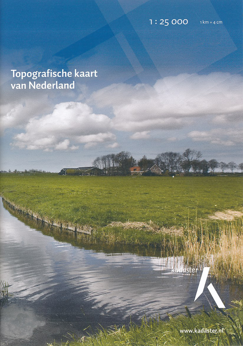
De nieuwste reisgidsen-serie van Lonely Planet: een luxe uitgave met als titel 'Experience' waarin aandacht voor de belangrijkste niet te missen hoogtepunten van de stad. Ook hier wordt het kort en bondig geschreven met veel praktische informatie erbj als eten-drinken en vervoer. De lijst met accommodaties - zoals bij de gewone Planets - hebben ze weggelaten. Wel weer met veel plattegronden en kaartjes, rijkelijk geillustreerd met mooie foto's.
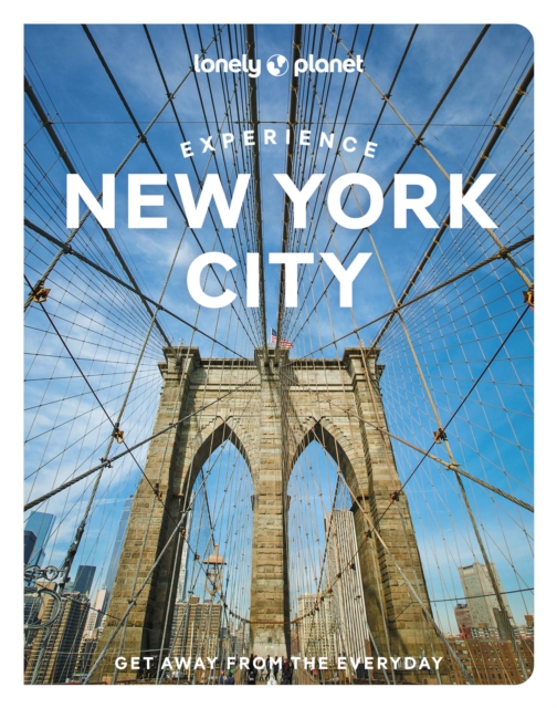
Lonely Planet’s Experience New York City is your guide to unforgettable experiences and local surprises. Walk through Harlem’s rich literary history, treat your senses in Chinatown and explore bohemian Village haunts - all guided by local experts with fresh perspectives. Uncover New York’s best experiences and get away from the everyday!
Inside Lonely Planet’s Experience New York City:
Unique experiences to string together for an unforgettable trip
Inspiring full-color travel photography and maps throughout
Pull-out New York City map (included in print version)
Highlights and neighborhoodtrip builders to help tailor a trip to your personal needs and interests
Insights from local experts take you to the heart of the place - Chinatown goodies, the Harlem Renaissance, Little Italy’s foodie culture, New York Fashion, Musical History and Broadway & New York Theatre
Fresh perspectives and insider tips to surprise you with things you hadn’t thought of, as well as fresh takes on the well-known sights
Day trips for easy escapes from the city
Practical info and tips on money, getting around on the subway, unique and local ways to stay, and responsible travel
Covers Upper West Side, Central Park, Midtown, Chelsea, Greenwich Village & SoHo, TriBeCa & the Financial District, Chinatown, Brooklyn, East Village & the Lower East Side, Little Italy, Upper East Side, Harlem, Queens and more