€ 9.95
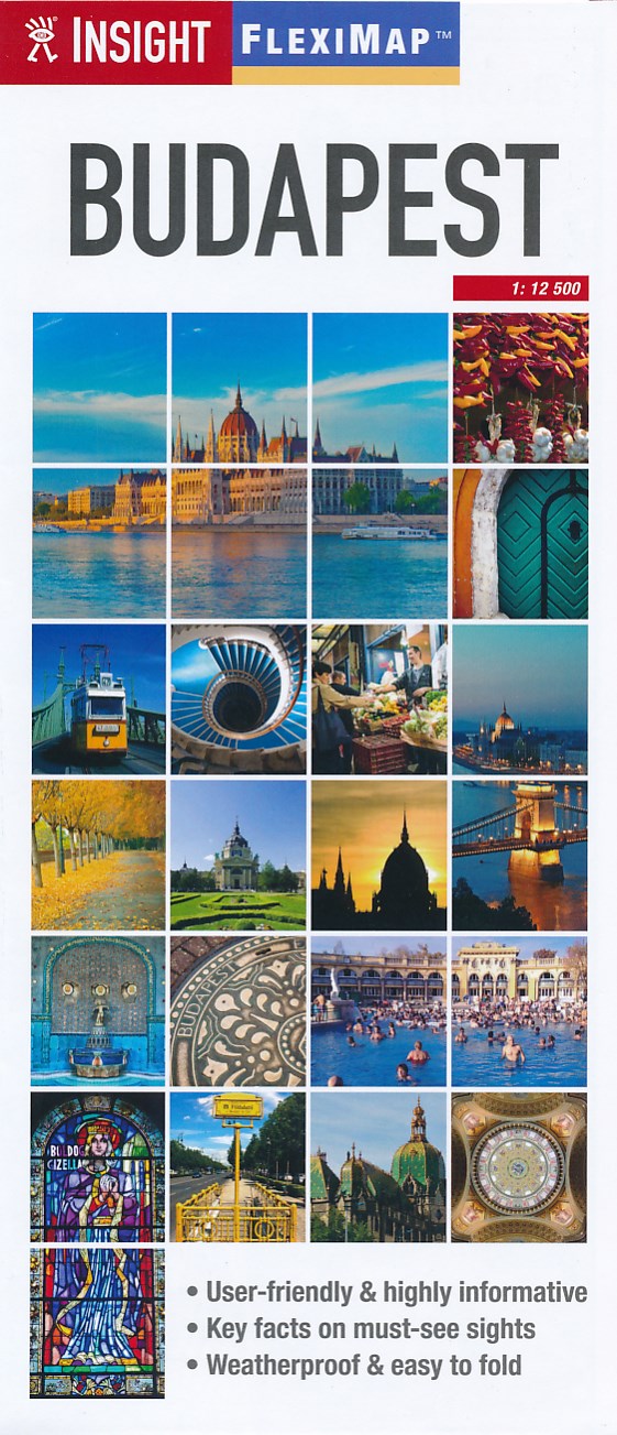
Stadsplattegrond Fleximap Budapest - Boedapest | Insight Guides

Geplastificeerde kaart van Boedapest, met register. Voor de 'gewone' toerist een handige kaart, geen groot formaat, overzichtelijk met alle belangrijke plaatsen goed weergegeven.


Flexi Map Budapest is much more than just a laminated map. The Tourist Information section includes detailed descriptions and some stunning photographs of a carefully selected number of recommended sights, these sights are linked to the mapping by easy to find numbered markers. There is also an abundance of helpful information on getting around, tipping, opening times, public holidays, emergency telephone numbers and much more.


The comprehensive index has been divided into different categories to make locating places as easy as possible. The laminated finish is tough, weatherproof and can be written on using a non-permanent marker. The main map shows the city at a scale of 1:12 500 (1cm = 0.125km) and highlights numerous places of interest such as public buildings, hotels and parks.


For those wishing to travel slightly further afield there is a map of the area surrounding Budapest, the scale of this map is 1:300 000 (1cm = 3km).

€ 9.95
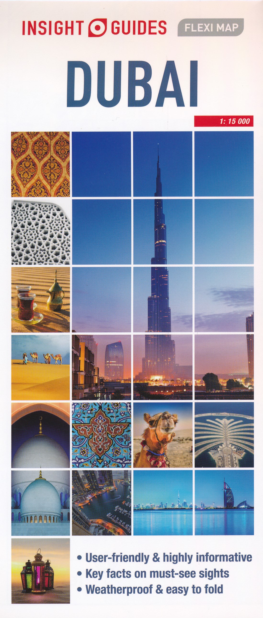
Wegenkaart - landkaart - Stadsplattegrond Fleximap Dubai | Insight Guides

Geplastificeerde centrumkaart van Dubai, met register. Voor de 'gewone' toerist een handige kaart, geen groot formaat, overzichtelijk met alle belangrijke plaatsen goed weergegeven.

Flexi Map Dubai is a laminated, tear-resistant map which includes 3 maps, each accompanied by separate indexes that are categorized for ease of use. The main map depicts Central Dubai at a scale of 1:15 000 and identifies places of interest, public buildings, selected hotels, parks and shopping areas. Both main and minor roads are named, car parks and one-way systems are clearly shown.

The Dubai area is shown  at a scale of 1:100 000, Main roads are named, and numbered where applicable, and the Metro system is clearly marked. 

An overview map of the United Arab Emirates, at a scale of 1:1 million, shows the road network with intermediate driving distances. Points of interest are shown as well as other features, such as, water springs, coral reefs, shipwrecks and offshore oilfields.


Flexi Map Dubai also gives a list - with descriptions and some photographs - of 24 recommended sights, divided by theme and linked to the mapping by numbered markers. There is also a handy information section with concise details on getting around, tourist offices, money, tipping, opening times, public holidays, telecommunications, emergency telephone numbers and climate.

€ 23.95
Reisgids Experience New Zealand - Nieuw Zeeland | Lonely Planet

De nieuwste reisgidsen-serie van Lonely Planet: een luxe uitgave met als titel 'Experience... ' waarin aandacht voor de belangrijkste niet te missen hoogtepunten van het land. Ook hier wordt het kort en bondig geschreven met veel praktische informatie erbj als eten-drinken en vervoer. De lijst met accommodaties - zoals bij de gewone Planets - hebben ze weggelaten. Wel weer met veel plattegronden en kaartjes, rijkelijk geillustreerd met mooie foto's.

Unique experiences to string together an unforgettable trip


Inspiring full-colour travel photography and maps throughout


Highlights and trip builders to help tailor a trip to your personal needs and interests


Fresh perspectives to surprise you with things you hadn't thought of, as well as fresh takes on the well-known sights


Insider tips help you discover hidden gems and get around like a local


Expert insights take you to the heart of the place - nature, history, outdoors, sustainable tourism, indigenous culture, wine


Practical info and tips on money, getting around, unique and local ways to stay, and responsible travel


Covers Auckland region, Bay of Islands, Northland, Taupo, Waikato, Coromandel Peninsula, Rotorua, Bay of Plenty, East Coast, Taranaki, Whanganui, Wellington Region, Christchurch, Canterbury, West Coast, Nelson, Marlborough, Dunedin, Otago, Fiordland, Southland, Queenstown, Wanaka


€ 41.50
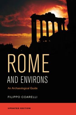
Reisgids Rome en omgeving - Rome and Environs | University of California

Dit is het standaard werk over de kunst en archeoogie van Rome en Lazio, nu beschikbaar in het Engels.

This superb guide brings the work of Filippo Coarelli, one of the most widely published and well-known scholars of Roman topography, archeology and art, to a broad English-language audience. Conveniently organized by walking tours and illustrated throughout with clear maps, drawings, and plans, Rome and Environs: An Archaeological Guide covers all of the major, and an unparalleled number of minor, ancient sites in the city, and, unlike most other guides of Rome, includes major and many minor sites within easy reach of the city, such as Ostia Antica, Palestrina, Tivoli, and the many areas of interest along the ancient Roman roads. An essential resource for tourists interested in a deeper understanding of Rome's classical remains, it is also the ideal book for students and scholars approaching the ancient history of one of the world's most fascinating cities. Covers all the major sites including the Capitoline, the Roman Forum, the Imperial Fora, the Palatine Hill, the Valley of the Colosseum, the Esquiline, the Caelian, the Quirinal, and the Campus Martius. Discusses important clusters of sites-one on the area surrounding Circus Maximus and the other in the vicinity of the Trastevere, including the Aventine and the Vatican.

Covers the history and development of the city walls and aqueducts.

Follows major highways leading outside of the city to important and fascinating sites in the periphery of Rome. Features 189 maps, drawings, and diagrams, and an appendix on building materials and techniques.

Includes an updated and expanded bibliography for students and scholars of Ancient Rome.


€ 18.50
Reisverhaal De kinderen van papa Koto | Jan Boonstra

In De kinderen van papa Koto volgen we Jan Boonstra tijdens zijn verkenning van Madagaskar, een betrekkelijk onbekend eiland voor de zuidoostkust van het Afrikaanse continent. Toch een eiland zo groot als Frankrijk en de Benelux samen. Madagaskar is bekend om zijn unieke flora en fauna. Het is echter niet alleen een ideale vakantiebestemming voor wie is geïnteresseerd in reptielen, lemuren en endemische orchideeën. Wie het land bezoekt, raakt evenzeer onder de indruk van de buitengewoon vriendelijke, maar straatarme, bevolking. Zoals we inmiddels van Boonstra kunnen verwachten - vorig jaar ver¬scheen van hem Veertigduizend Engelen, een rondreis door Ethiopië - zijn het ook in Madagaskar met name deze innemende mensen die in zijn verhalen en op zijn fotos tot leven komen. Wie door Madagaskar reist, hinkt steeds op twee gedachten. Het rode eiland, zoals Madagaskar wel wordt genoemd, lijkt soms onmiskenbaar Afrikaans, terwijl het op een ander moment typisch Aziatisch aandoet. We volgen de schrijver en zijn vrouw op hun tocht door dit schitterende land. Een tocht waarbij de ringstaartmakis in de bomen wachten tot ze weer zijn doorgelopen, maar waarbij de kinderen net zo lang staan te dansen en te zwaaien tot ze uit het zicht zijn verdwenen. De kleur die de Malagassiërs aan hun land geven is onmiskenbaar Afrikaans. In De kinderen van papa Koto zijn dit letterlijk de kleuren die je op de fotos ziet. Het is ook de couleur locale die je proeft bij het lezen van dit vlot geschreven en vaak geestige reisboek.

€ 13.95
Wegenkaart - landkaart Finnland - Finland | Reise Know-How Verlag

Tweetalige kaart (Engels en Duits). Door ingetekende lengte- en breedtegraden is het gebruik van GPS mogelijk. Met hoogtelijnen en uitgebreid wegennetwerk: daarnaast worden ook de afstanden tussen belangrijke plaatsen duidelijk leesbaar weergegeven. Het kleurgebruik is zodanig dat je een goede indruk krijgt van hoogteverschillen en soorten landschap. Natuurlijk staan de toeristische bezienswaardigheden duidelijk vermeld.


Gedrukt op water- en scheurvast papier! Polyart is een synthetisch product vrij van giftige stoffen dus duurzaam. Het papier gaat echt lang mee.


Topography is indicated by altitude colouring with numerous spot heights and names of mountain ranges and passes. Salt lakes, swamps, seasonal rivers and glacier are also shown. Detailed presentation of the road network includes minor roads and tracks and railways are also shown.


Internal administrative units are presented with their boundaries and names. National parks and other protected areas are highlighted. A wide range of symbols mark various places of interest. Map legends include English and all the maps have an index of localities.

€ 13.95
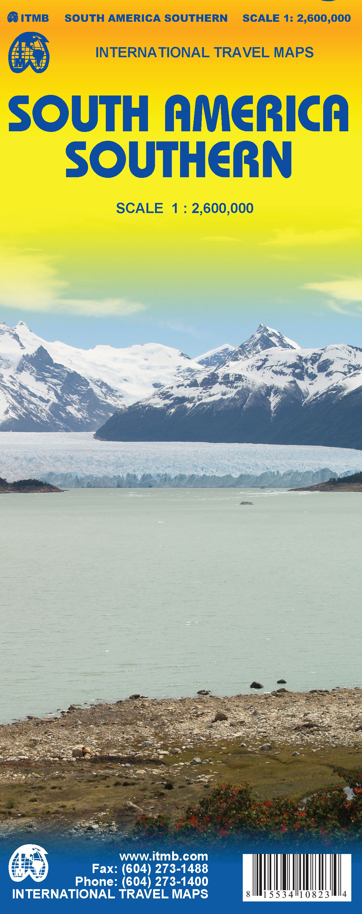
Wegenkaart - landkaart South America Southern - Zuid Amerika, deel Zuid | ITMB

1:2,600,000 scale 6th Edition, double-sided printing. This map shows the southern third of South America in better detail than any other map.gIt starts at northern Chile, southern Paraguay, and central Brasil, and moves south to cover all of Argentina and almost all of Chile. Side 1 is a detailed road map of the region as far south as Buenos Aires. Side 2 covers Patagonia, the coast of Chile, and Tierra del Fuego. Map size: 27"X39"

€ 11.95
Sterrenkaart - Planisfeer Vakantieplanisfeer Noord-Europa (60° NB) | Rob Walrecht Productions

Nederlandse planisfeer voor 60º NB , zeer nauwkeurig voor elk gebied tussen 55º en 65º NB. De naam "vakantieplanisfeer voor Noord-Europa" benadrukt dat men tijdens de vakantie juist vaak schitterende kansen heeft om een fraaie sterrenhemel te bewonderen.

Het is een ronde planisfeer, 25 cm in diameter, met een gebruiksaanwijzing en enkele interessante tips op de achterzijde.
Voor gebruik in: Noord-Canada, IJsland, Noorwegen, Zweden, FInland, Noord-Denemarken, Noord Rusland

De planisfeer is hét hulpmiddel om de sterrenhemel, met al zijn sterrenbeelden en heldere sterren, te leren kennen. Een planisfeer bestaat uit een ronde kaart van de sterrenhemel, met de hemelpool in het middelpunt. Die sterrenkaart toont alle sterren, sterrenbeelden en objecten als nevels e.d. (zie verder), die in een bepaald gebied zichtbaar zijn. De sterrenhemel is echter niet steeds hetzelfde: sterren komen op en gaan onder en in de zomer zie je een ander deel van de sterrenhemel dan in de herfst, winter of lente.

Daarom bevat de planisfeer een tweede schijf, bovenop de sterrenkaart. Deze bevat een doorzichtige opening die laat zien welk gedeelte van de sterrenhemel op een bepaald moment echt zichtbaar is. En dat moment is heel eenvoudig in te stellen, met de datum en de tijd.


- ze tonen de sterrenhemel van elk moment van het jaar

- ze zijn zeer nauwkeurig, fraai, goed doordacht en goedkoop

- ze zijn gemakkelijk in te stellen op datum en tijd

- ze bevatten meer dan 700 sterren en circa 300 ‘verrekijker objecten’: sterrenstelsels, nevels, sterrenhopen, dubbelsterren enzovoort, die met het blote oog of een eenvoudige verrekijker zijn te bekijken!

- ze zijn geschikt voor 10 jaar en ouder

- ze gaan een leven lang mee... of langer!

€ 19.95
Reisgids Gabon - Sao Tomé et Principe | Petit Futé

Franstalige reisgids over Gabon en Sao Tome: zeer compleet, met zowel bezienswaardigheden als ook praktische informatie. 

Les Country Guides sont destinés aux voyageurs individuels mais également à ceux qui partent en groupe. C'est une synthèse d'informations pratiques, culturelles ou d'aventure. Vous y trouverez également de nombreuses cartes et des photos. Nos rédacteurs partagent tous une même passion pour un pays et exercent les activités professionnelles les plus variées (vétérinaire, casque bleu, journaliste, architecte). Leur ambition est d'introduire un ton différent dans la littérature touristique par un regard personnel sur un pays, tout en conviant le lecteur à choisir dans un large éventail d'adresses originales et futées de bon rapport qualité-prix.Les Country Guides appartiennent également à leurs lecteurs. Ils les bonifient en envoyant leurs expériences qui sont publiées, contribuant à en faire des guides interactifs.Leur prix de vente les positionne, en général, comme les guides les moins chers du marché.

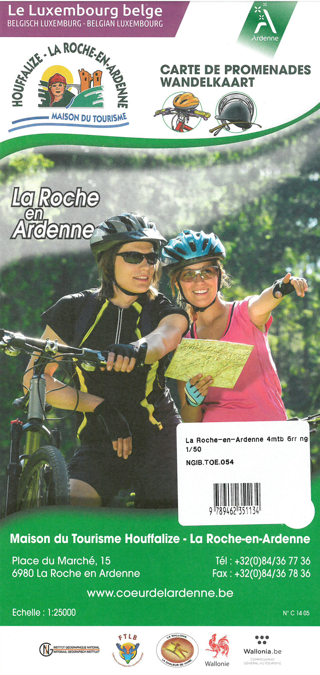
€ 8.95
Fietskaart 54 La Roche en Ardenne VTT | NGI - Nationaal Geografisch Instituut

Mountainbikekaart en ruiterkaart met de kwaliteit van de gekende NGI-kaarten, waarop de routes met hun nummering werden ingekleurd.  De bezienswaardigheden waarlangs de routes lopen worden eveneens in het Nederlands besproken. De kaart bevat bovendien afstand en tijdsaanduiding van de routes en de beschrijving van talrijke bezienswaardigheden.

Deze kaart heeft aan een kant een schaal van 1:25.000 en aan de andere zijde 1:50.000, met La Roche en Ardenne redelijk centraal.

La Roche-en-Ardenne, Samrée, Beausaint, Hives, Ortho, Champlon, Erneuville, Bertogne, Longchamps, Houffalize, Tavigny, Mont, Mabompré

Abonneer op