
Reisgids Eyewitness Top 10 Top 10 Dubai and Abu Dhabi | Dorling Kinder
€ 14,-Two iconic cities that have rewritten the record books, Dubai and Abu Dhabi are futuristic playgrounds packed with…
De Zwerver →
Two iconic cities that have rewritten the record books, Dubai and Abu Dhabi are futuristic playgrounds packed with…
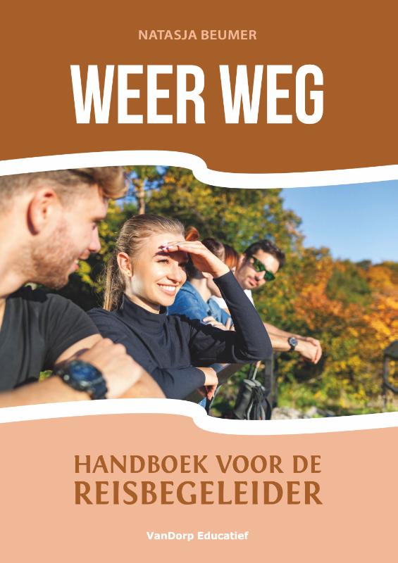
Het idee van het begeleiden van een groepsreis klinkt als een droombaan: gratis op vakantie naar een tropische bes…
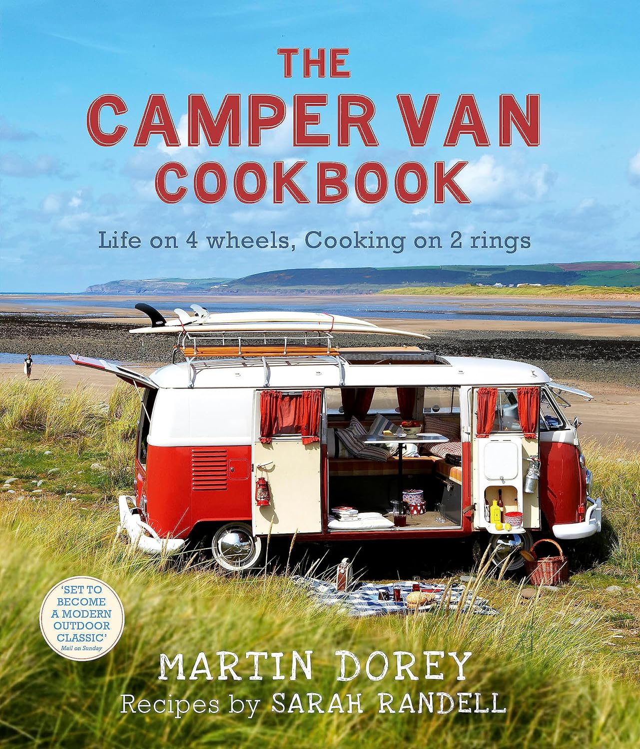
Say goodbye to roughing it. And hello to a new kind of freedom. With over 80 fabulously tasty recipes you can cook…
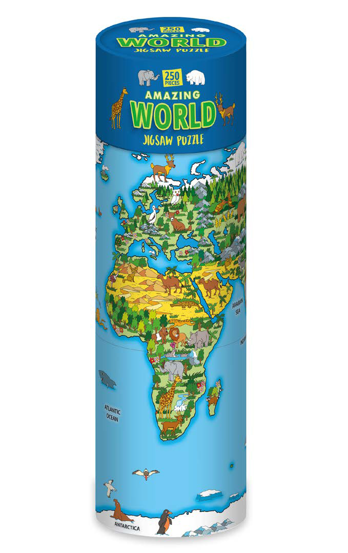
Begeef je op een wereldwijde ontdekkingstocht met de Amazing World Legpuzzel van uitgever Robert Frederic, nu verk…
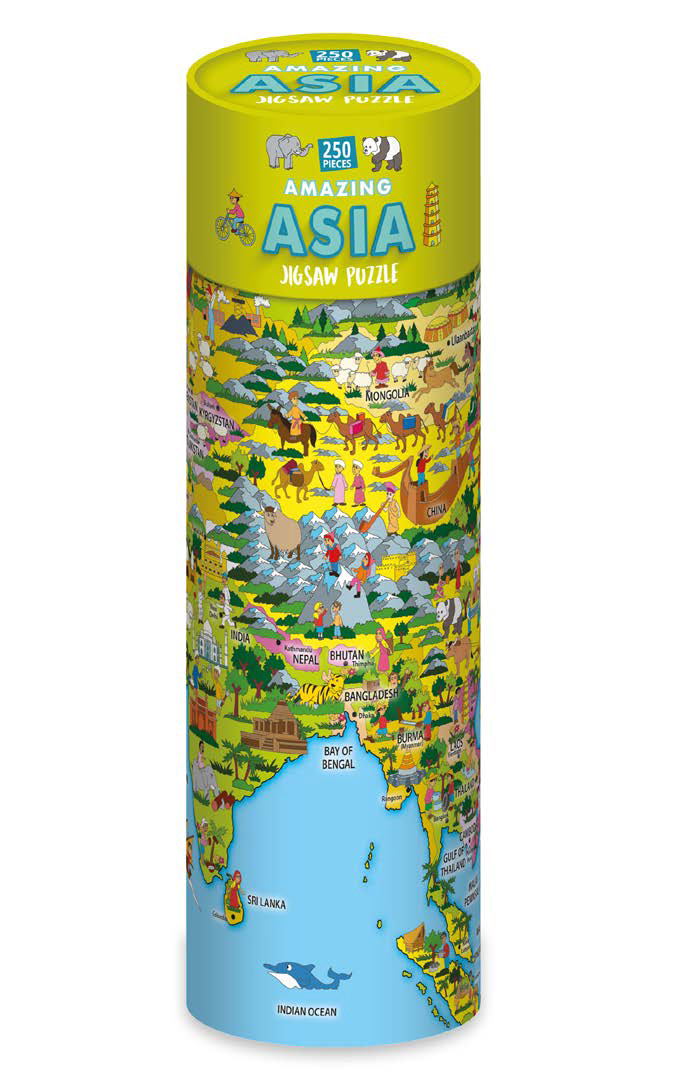
Ontdek de schoonheid en diversiteit van Azië met de Amazing Asia Legpuzzel van uitgever Robert Frederic, nu verkri…
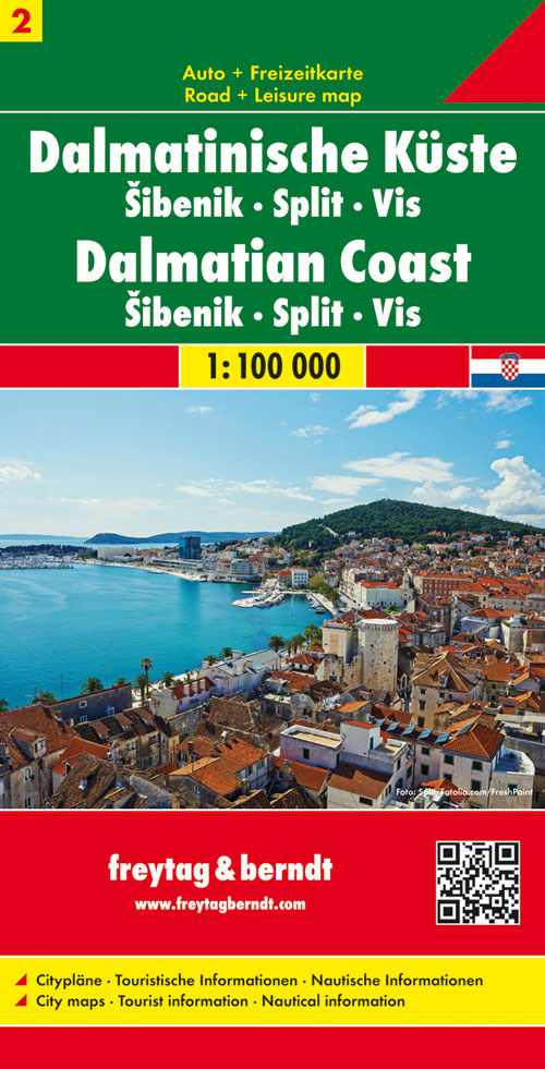
Uitstekende wegenkaart van een klein gebied tussen Split en Murter aan de Dalmatische kust van Kroatie. Zeer gedet…
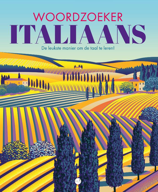
Ciao! Deze heerlijke collectie van meer dan 100 woordzoekers is speciaal voor jou bedacht om je woordenschat op te…
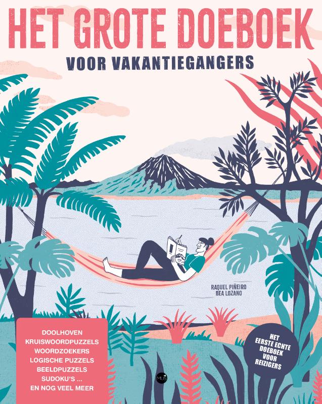
Met meer dan 100 activiteiten voor vele uren puzzelplezier! Wij van MUS houden van reizen! We doen het wanneer we …
In de jaren dertig van de vorige eeuw werd het rivierland al door Hendrik Marsman bezongen in zijn gedicht Herinne…