Vogelgids - Natuurgids Galapagos Wildlife | Waterford Press
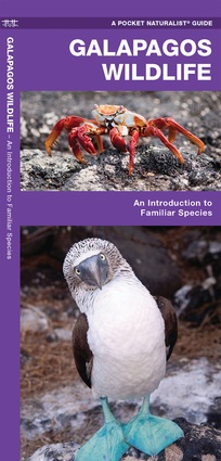
€ 10,-Galapagos Wildlife, An Introduction to Familiar Species, is a must-have reference guide for beginners and experts …
De Zwerver →
Galapagos Wildlife, An Introduction to Familiar Species, is a must-have reference guide for beginners and experts …
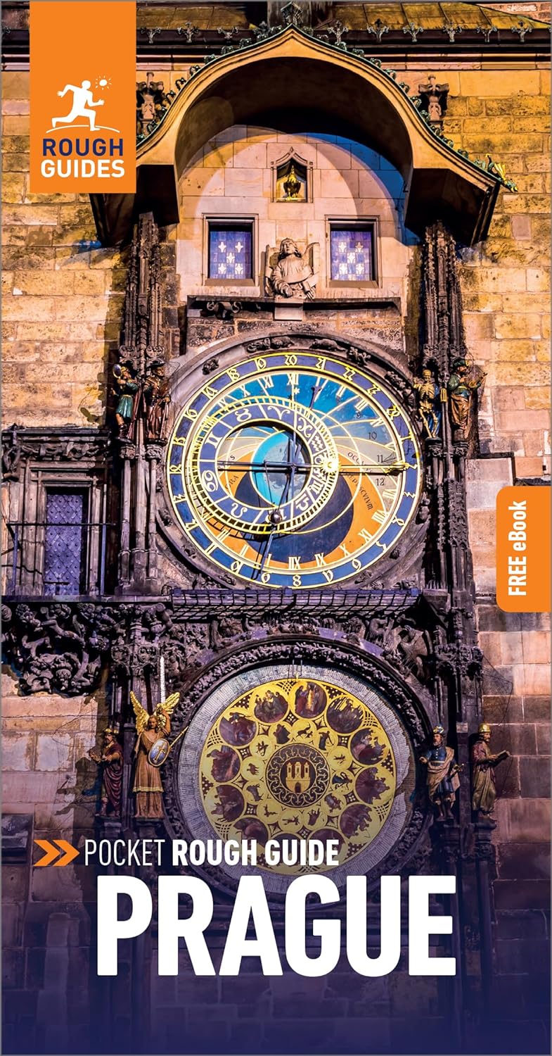
Een kleinere versie in zakformaat van de grotere versies van de Rough Guides. Als altijd weer vol met goede inform…
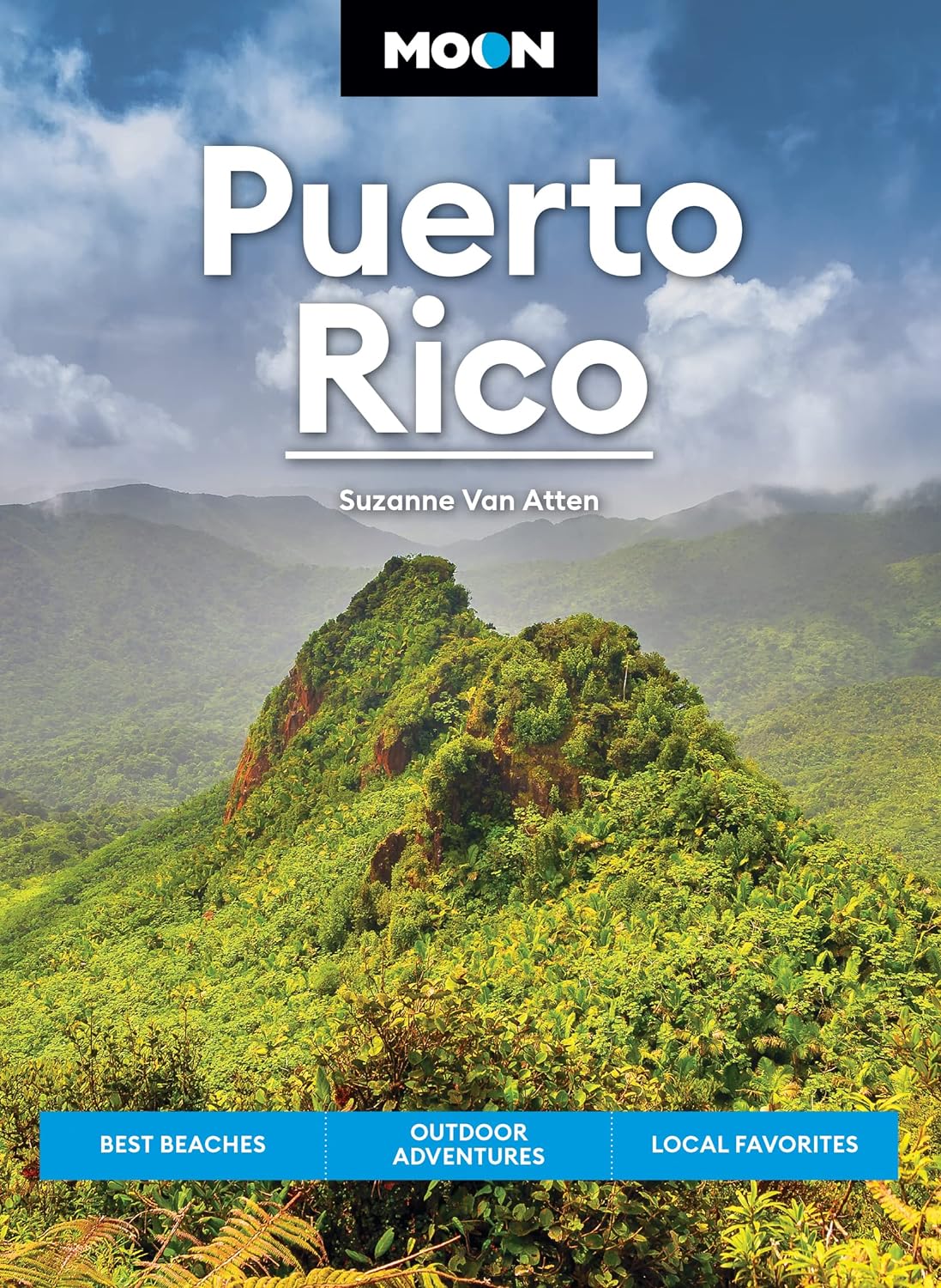
Uitstekende Amerikaanse reisgids van uitgever Moon. De gids is vergelijkbaar met Lonely Planet en Rough guide en i…

Handige en overzichtelijke, kleine reisgids voor een eerste kennismaking met de vakantiebestemming. Globale uitkla…

An ambitious and magnificent new travelogue by internationally bestselling, prizewinning writer Erika Fatland. …
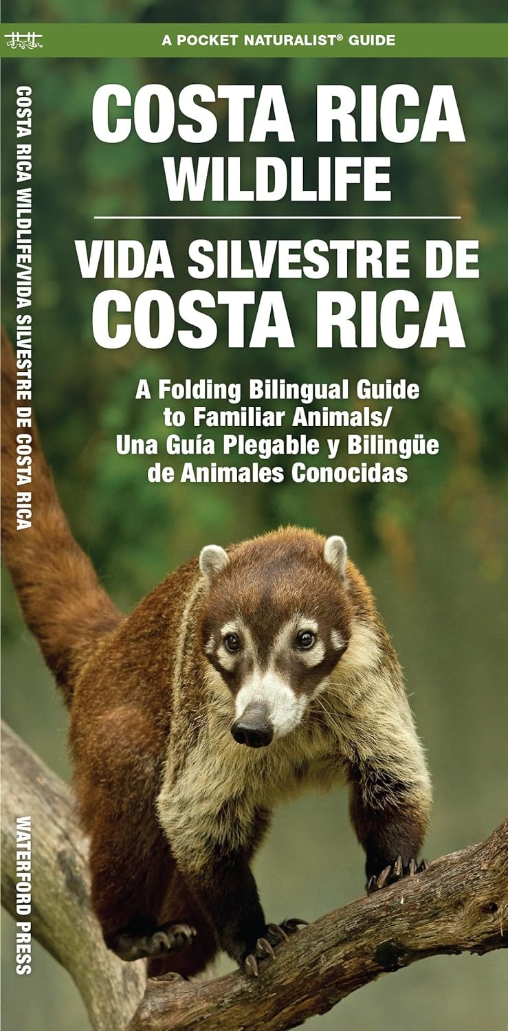
Een bijzonder handige uitklapkaart met alle veelvoorkomende dieren van Costa Rica. Duidelijke illustraties, goede …
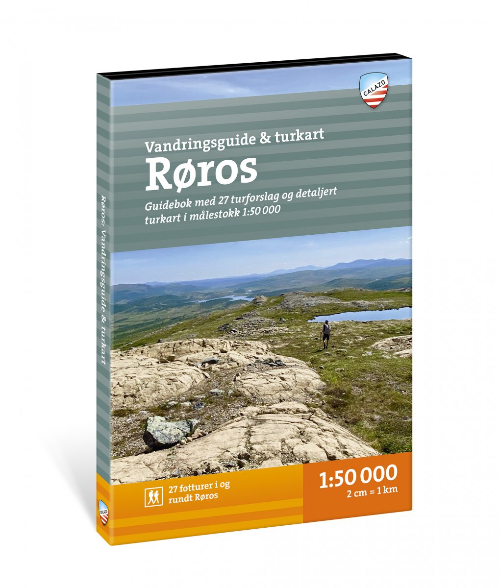
Calazo, een kaartenmaker uit Zweden, maakt heel goede wandelkaarten van bekende en minder bekende gebieden in Scan…
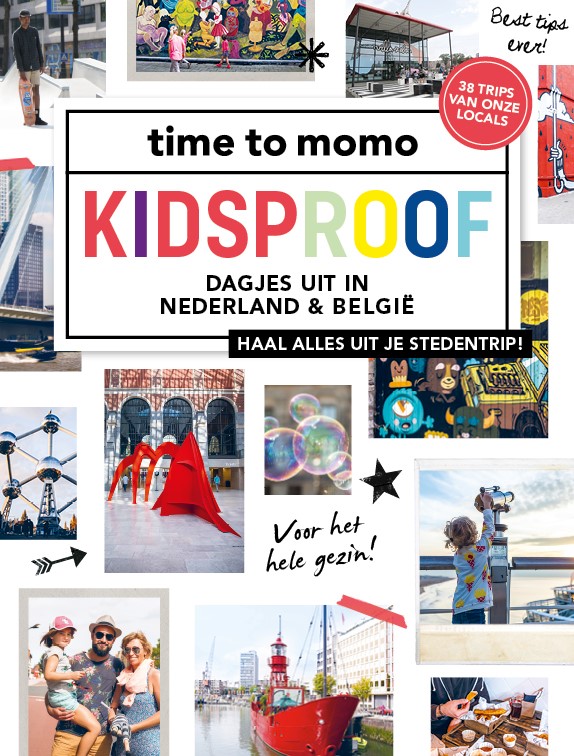
34 KIDSPROOF DAGJES UIT IN NEDERLAND & BELGIE In: Amsterdam, Arnhem, Den Haag, Maastricht, Leiden, Rotterdam, Utre…

41 DAGJES KUNST & CULTUUR IN NEDERLAND & BELGIE In : Amersfoort, Amsterdam, Den Haag, Groningen, Otterloo, Rotterd…
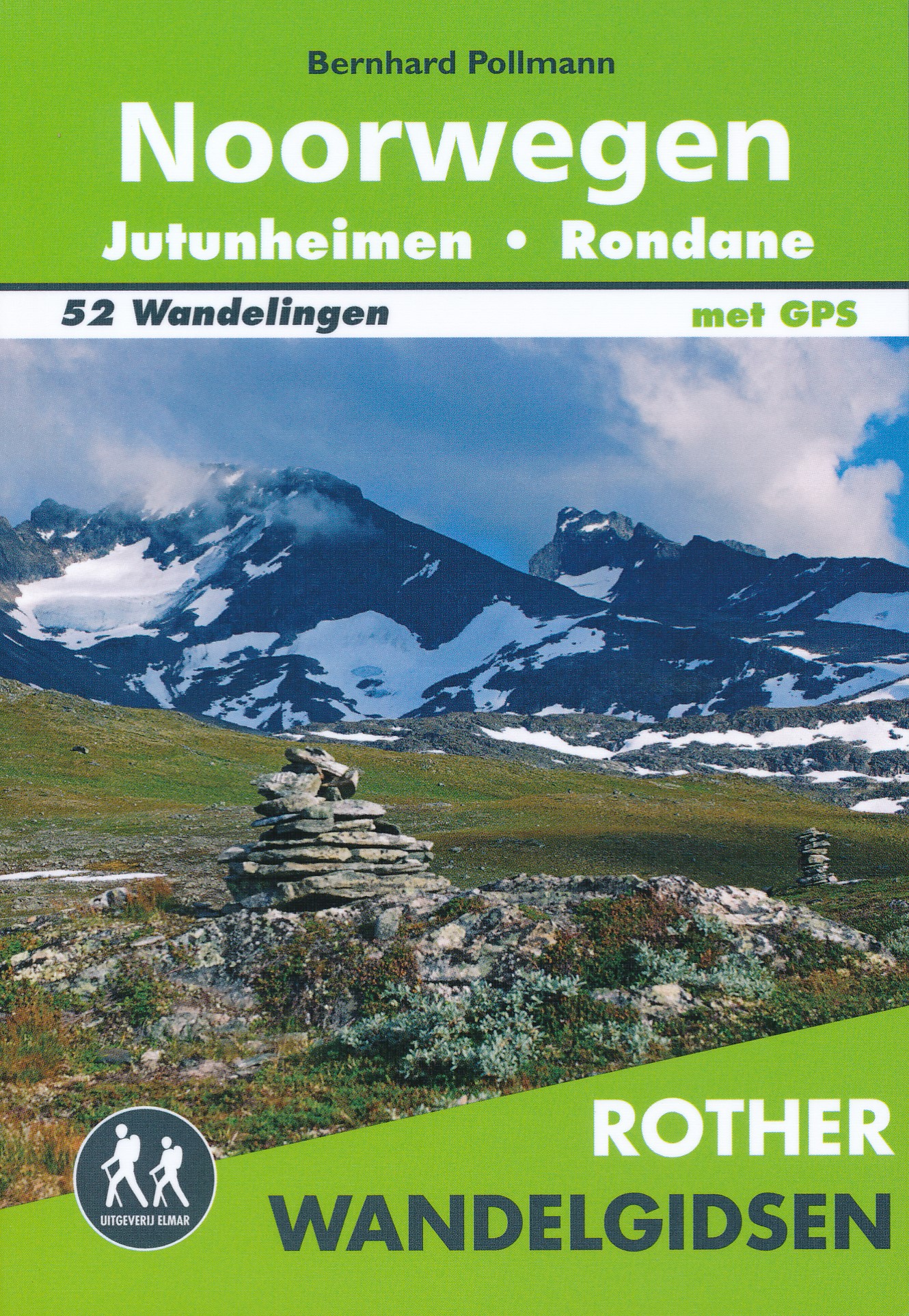
De Rother Wandelgids Noorwegen - Jotunheimen * Rondane bevat 52 wandelingen voor zowel de beginnende als de ervare…