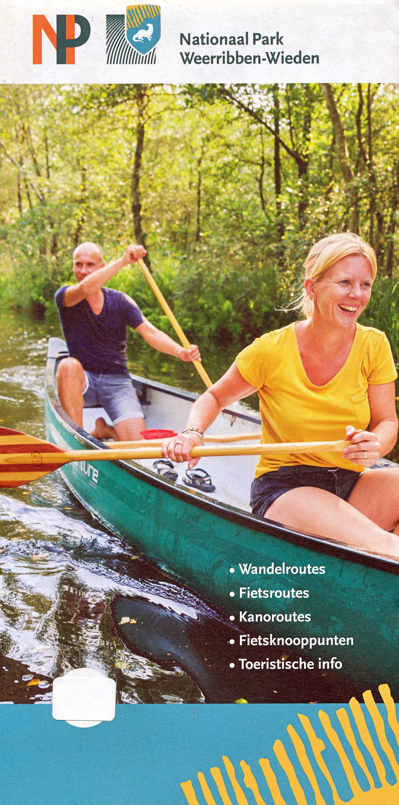
Duidelijke en gedetailleerde kaart van Nationaal Park De Weeribben - De Wieden met alle plaatsen, campings, verblijfsrecreatie, havens, horeca maar ook met ingetekende wandelrouts, kanoroutes en fietsroutes met de fietsknooppunten. Achterop de kaart nog eens extra uitleg van bezienswaardigheden en natuur.
Met plaatsen als Ossenzijl, Kalenberg, Steenwijk, Blokzijl, Vollenhove, Zwartsluis, en Giethoorn.
€ 6.95
€ 16.50
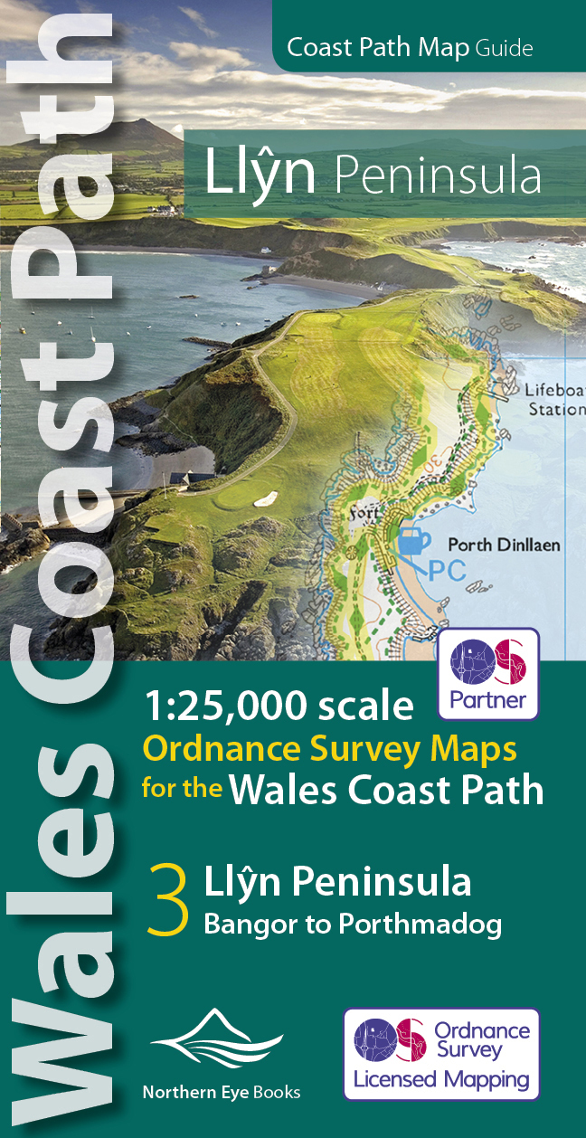
Enhanced, large scale (1: 25,000) Ordnance Survey mapping in a handy atlas format with all the mapping you need to walk a complete circuit of the Anglesey section of the Wales Coast Path.
Continuous OS mapping covering the complete route from Bangor to Porthmadog. Contains coastal extracts from large scale Explorer maps 253 and 254.
The Llyn Peninsula Ordnance Survey mapping book is part of a series of map atlases covering the whole of the 870-mile long Wales Coast Path. The enhanced OS 1:25,000 maps are accurate, up-to-date and reliable. Additional map symbols show tea shops, cafes, extra parking, and public toilets.
A brief introduction to the Llyn Peninsula includes a fascinating photo mosaic highlighting notable views, places of interest and wildlife you’ll meet along the way. There is also a section of detailed Useful Information at the back of the atlas.
Laminated flapped covers showing Wales Coast Path signs and waymarkers, route details and map symbols make these atlases simple and easy to use.
The map books’ dimensions are 215mm x 107mm and they fit easily into a standard map pocket.
Large scale Ordnance Survey Explorer mapping for the complete coast of the Llyn Peninsula in a handy atlas format.
Highlighted official route of the Wales Coast Path.
On-map symbols showing amenities at main towns and villages.
Introduction with attractive photo mosaic.
Additional useful information
€ 20.00
De Graanrepubliek is het verhaal van de twintigste eeuw, gesitueerd in het grimmigste stukje Nederland. In het voetspoor van de machtige landbouwhervormer Sicco Mansholt reist de lezer mee van de executieverkoop van de hoeve Torum in 1922 via het verzet in de Wieringermeer naar het naoorlogse Brussel en Berlijn, om weer uit te komen bij de kleidorpen achter de Waddendijk.
Jaren later keert Frank Westerman terug naar het decor van zijn moderne klassieker. Hij pakt de draad op bij het apocalyptische einde: de onderwaterzetting van een van de rijkste landbouwgebieden van Europa. In deze editie, uitgebreid met het hoofdstuk ‘De blauwe revolutie’, nemen de verhaallijnen uit de twintigste eeuw een actuele, dramatische wending.
De graanrepubliek is een moderne klassieker, urgenter dan ooit. Wat beweegt de boer? Waar liggen de wortels van zijn trots? Als geen ander geeft Frank Westerman een actueel inzicht in het onbehagen van stad en ommelanden.
Deze bekroonde en al vijfendertig keer herdrukte plattelandskroniek vertelt het verhaal van de twintigste eeuw, gesitueerd in het grimmigste stukje Nederland. In het voetspoor van de grote landbouwhervormer en Europeaan Sicco Mansholt reist de lezer mee van de executieverkoop van de hoeve Torum in 1922 via het verzet in de Wieringermeer naar het naoorlogse Brussel en Berlijn, om weer uit te komen bij de kleidorpen achter de Waddendijk.
In 2007 pakte de auteur de draad al eens opnieuw op bij het apocalyptische einde in een extra hoofdstuk over de onderwaterzetting van een van de rijkste akkerbouwgebieden van Europa. Speciaal voor deze vermeerderde jubileumeditie – De graanrepubliek bestaat vijfentwintig jaar – keert hij terug naar het decor van deze must-read. Hoe is het de hoofdrolspelers sindsdien vergaan en voor welke nieuwe uitdagingen zien zij zich geplaatst?
Frank Westerman (1964) is auteur vanmeervoudige bekroonde titels alsIngenieurs van de Ziel en El Negro en ik (GoudenUil 2005), en het recentelijk verschenen Ararat. Eerder werkte hij als correspondentin Belgrado en Moskou. Zijn literairewerk verschijnt momenteel in een tientaltalen. De oorspronkelijke uitgave van De graanrepubliek (1999) werd genomineerdvoor zowel de Generale Bank Literatuurprijsals de Gouden Uil en is bekroond metde Dr. Lou de Jongprijs voor eigentijdsegeschiedschrijving. Er zijn ruim 75 000exemplaren van verkocht.
€ 14.95
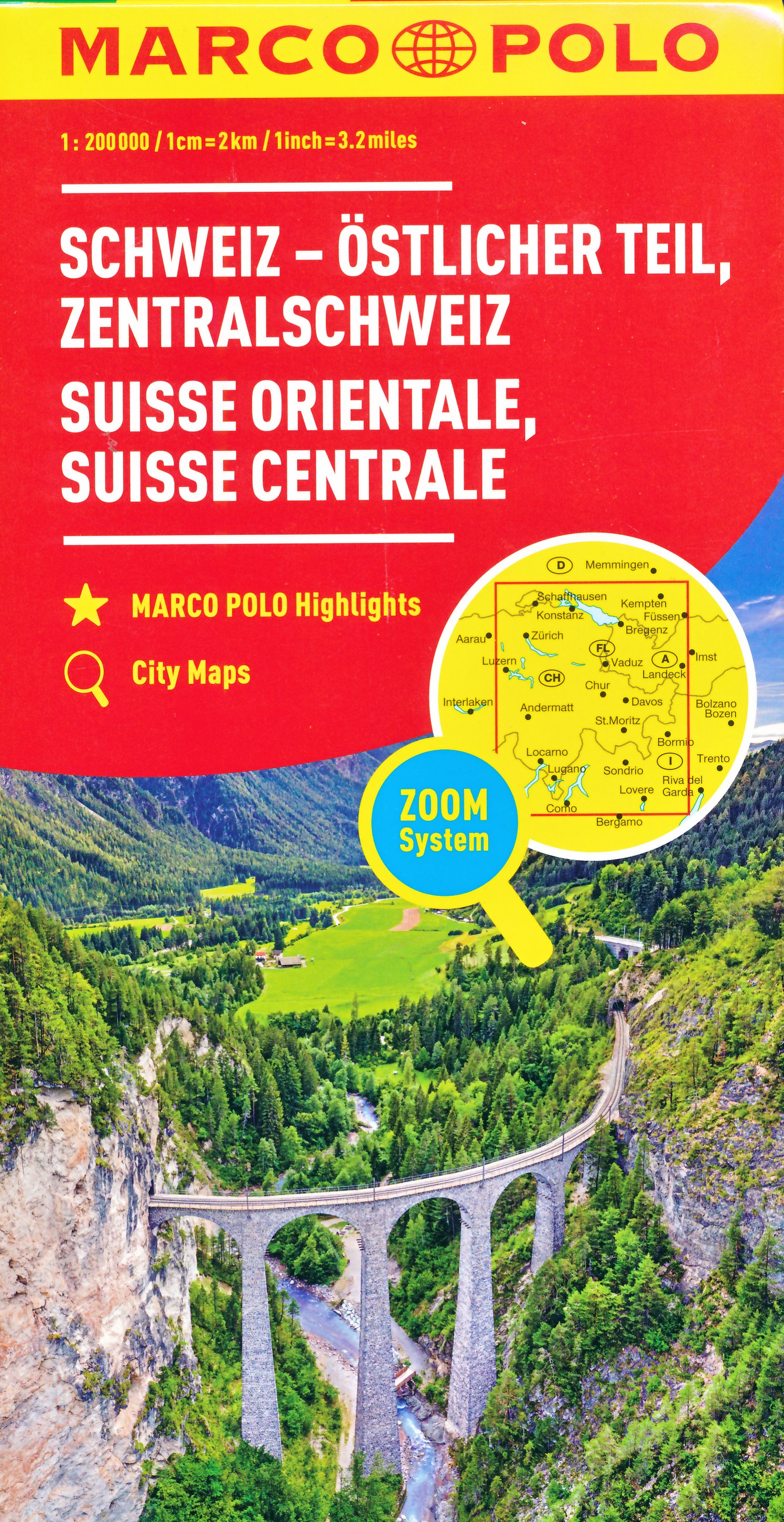
Duidelijke wegenkaart van Marco Polo: alle wegen, zowel de verharde als belangrijke onverharde wegen zijn weergegeven. Mooie toeristisch interessante wegen die de moeite waard zijn, zijn groen gearceerd. Veel toeristische informatie is toegevoegd zoals de nationale parken, campings, kastelen en vliegvelden. Afstanden tussen belangrijke steden en benzinestations staan ook op de kaart. Een plaatsnamenregister ontbreekt niet.
---
This Marco Polo map features really easy to read cartography. Topography is highlighted with relief shading and loads of spot heights and the road network is clearly shown with roads ranging from motorways all the way through to minor secondary roads. The map also clearly indicates airports, places of interest, scenic/tourist routes, view points etc.
The map includes a booklet attached to the cover that contains some useful information and a very extensive index that covers locations, places of interest and geographical features. Also included are a distance/driving time chart and a fold out flap on the cover with an overview map of the region covered.
A unique feature of the Marco Polo maps is "mark it" stickers, a set of seven reusable stickers (ie they don't damage the map when removed and placed elsewhere) that can be used to highlight interesting places, the route you plan to take (to make navigation easier), or whatever you want really.
The legend is in a multitude of languages including English.
---
Die Karten bestechen durch eine leicht lesbare, neue Kartografie, in der durchgängig landschaftlich schöne Strecken und Orte markiert sind. Die Reiseroute gefunden? Mit den in der Umschlagklappe untergebrachten, selbstklebenden mark-it-Stickern lässt sich das angepeilte Ziel hervorheben und somit beim nächsten Blick auf die Karte leicht wiederfinden. Schon in der im Kartendeckel befindlichen, ausklappbaren Übersichtskarte sind die schönsten Orte mit gelben oder grünen Markierungen unterlegt, um unterwegs auch wirklich nichts zu verpassen. Die Distanzenkarte sagt, wie weit es noch ist bis zur nächsten größeren Stadt. Und mit den wichtigsten Cityplänen lässt es sich auch im Großstadtdschungel leicht navigieren. Wo alle Orte auf der Karte zu finden sind, ist im Registerheft nachzuschlagen.
€ 10.95
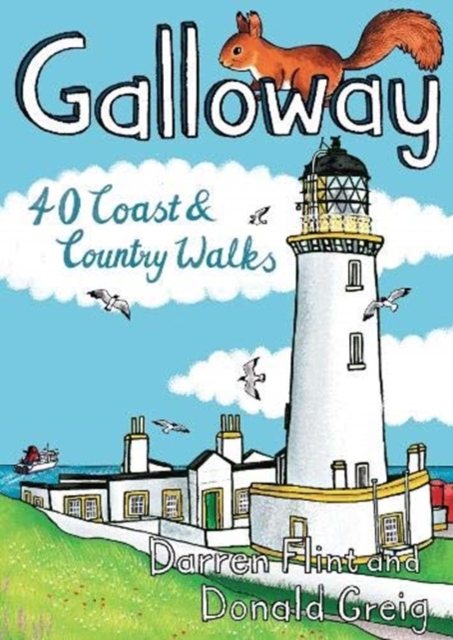
Handige compacte wandelgids met 40 dagwandelingen. Deze gids bevat kleine kaartjes en leuke uitgebreide informatie over wat er langs de route te zien is. Goede wandelkaarten zijn echter we noodzakelijk voor deze tochten: de Ordnance Survey explorer maps of Landanger maps zijn zeer geschikt.
Made up of the old counties of Wigtownshire and The Stewartry, Galloway covers a vast swathe of Scotland's quiet southwest corner. This under-discovered area offers 260km of coast, full of sandy beaches and towering cliffs, lonely heather-clad moors and quiet hills. Add to this plenty of wildlife, a rich artistic heritage, strong spiritual influences and a climate kissed by the warming Gulf Stream, and you have a region beckoning to be visited.
€ 10.95
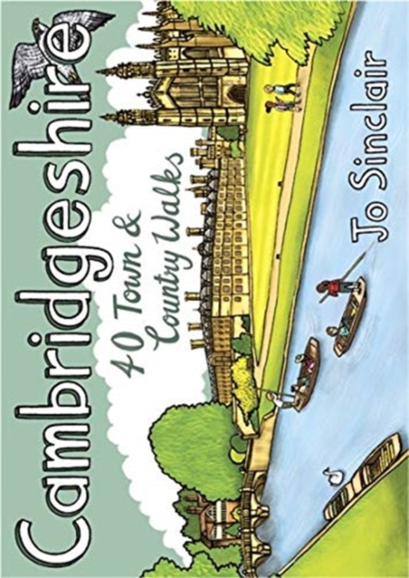
Handige compacte wandelgids met 40 dagwandelingen. Deze gids bevat kleine kaartjes en leuke uitgebreide informatie over wat er langs de route te zien is. Goede wandelkaarten zijn echter we noodzakelijk voor deze tochten: de Ordnance Survey explorer maps of Landanger maps zijn zeer geschikt.
With its hallowed streets, glorious colleges and peaceful riverside walks along the Cam, Cambridge is the jewel in the crown of Cambridgeshire and a richly rewarding city to tour on foot. This is a big county, however, and it is well worth exploring the countryside beyond the glittering city. This guide takes you through the rich heritage of the county's market towns and pretty thatched-roofed villages, along old hilltop tracks and into ancient woodlands, full of interest and beauty. Cambridgeshire is also the lowest and flattest place in England and the straight roads, endless network of dykes and isoloted windmills of the fenlands have a stange minimalist magnetism which is hard to resist.
€ 10.95
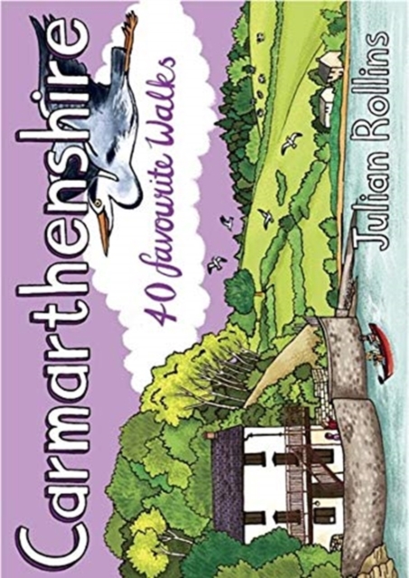
Handige compacte wandelgids met 40 dagwandelingen. Deze gids bevat kleine kaartjes en leuke uitgebreide informatie over wat er langs de route te zien is. Goede wandelkaarten zijn echter we noodzakelijk voor deze tochten: de Ordnance Survey explorer maps of Landanger maps zijn zeer geschikt.
Carmarthenshire is the largest of the old Welsh counties and nestles between Pembrokeshire and the Gower Peninsula in the heart of South West Wales. Its a land of contrasts; along the coast you'll walk close to the airy edge of tall cliffs, but there are beaches too, some so long you can't see an end to them. And sheltered estuaries, like the heron-priested shores at Laugharne that inspired the poet Dylan Thomas. Inland there are tucked-away valleys and castle-topped hills, open moorland, and ancient woodland that is fizzing with life.
€ 10.95
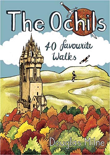
Handige compacte wandelgids met 40 dagwandelingen. Deze gids bevat kleine kaartjes en leuke uitgebreide informatie over wat er langs de route te zien is. Goede wandelkaarten zijn echter we noodzakelijk voor deze tochten: de Ordnance Survey explorer maps of Landanger maps zijn zeer geschikt.
40 easy short walks with a very cute cartoonish style
Known to the ancient people of Central Scotland as uchel – ‘the high place’ – the long upland massif of the Ochils rises between the River Forth and the Southern Highlands, with a dramatic escarpment running between the cities of Stirling and Perth. The high rounded hills are cleaved by steep-sided ravines and dotted with castles, standing stones, burial mounds, hillforts and battlesites, making the Ochils a walker’s paradise. This collection of 40 routes covers all the main summits, as well as the magnificent glens and the two rivers, the Allan and the Devon, which transect them.
€ 10.95
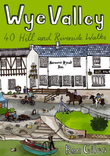
This guide contains forty circular routes, covering an area somewhat broader than the AONB but within similar north-south boundaries. This collection of walks is split into five areas: Hereford Lowlands and the Woolhope Dome; Archenfield and the Monnow and Trothy Valleys; The Wye Gorge; The Forest of Dean; The Trellech to Chepstow Plateau. In part, the areas reflect the diverse geology and ecology of the landscape, but they are in no way essentially distinct or separate. Each has its own particular attractions and character, but there is much that is shared between all five areas.
Most of the routes are intended as comfortable walks or strolls, manageable by all willing to put one foot in front of another, at most requiring half a day to complete. Occasionally, the cumulative ascent may leave unseasoned legs a little stiffer, but in general the walking is on well-worn paths, lanes and tracks, which should require minimal time and effort for route-finding. However, the sketch maps serve an illustrative purpose and it is recommended that the relevant OS 1:25,000 map is carried – just two are needed to cover all areas (OS Explorers OL14 and 189), both of which are readily available in local shops. For those who enjoy full day walks, some routes can readily be lengthened, while others can be combined for a longer excursion. The recommended time given for each walk is an estimate based on average walking speed, with an allowance added in for ascent and the type of ground. This will vary significantly, with individual ability and preference as well as the seasonal effects on conditions underfoot – especially across fields. It is hoped that there is plenty of interest along the routes themselves and it would be very possible to spread a short walk over a half day; conversely, most routes are short enough to attempt two in a day.

