€ 12.50
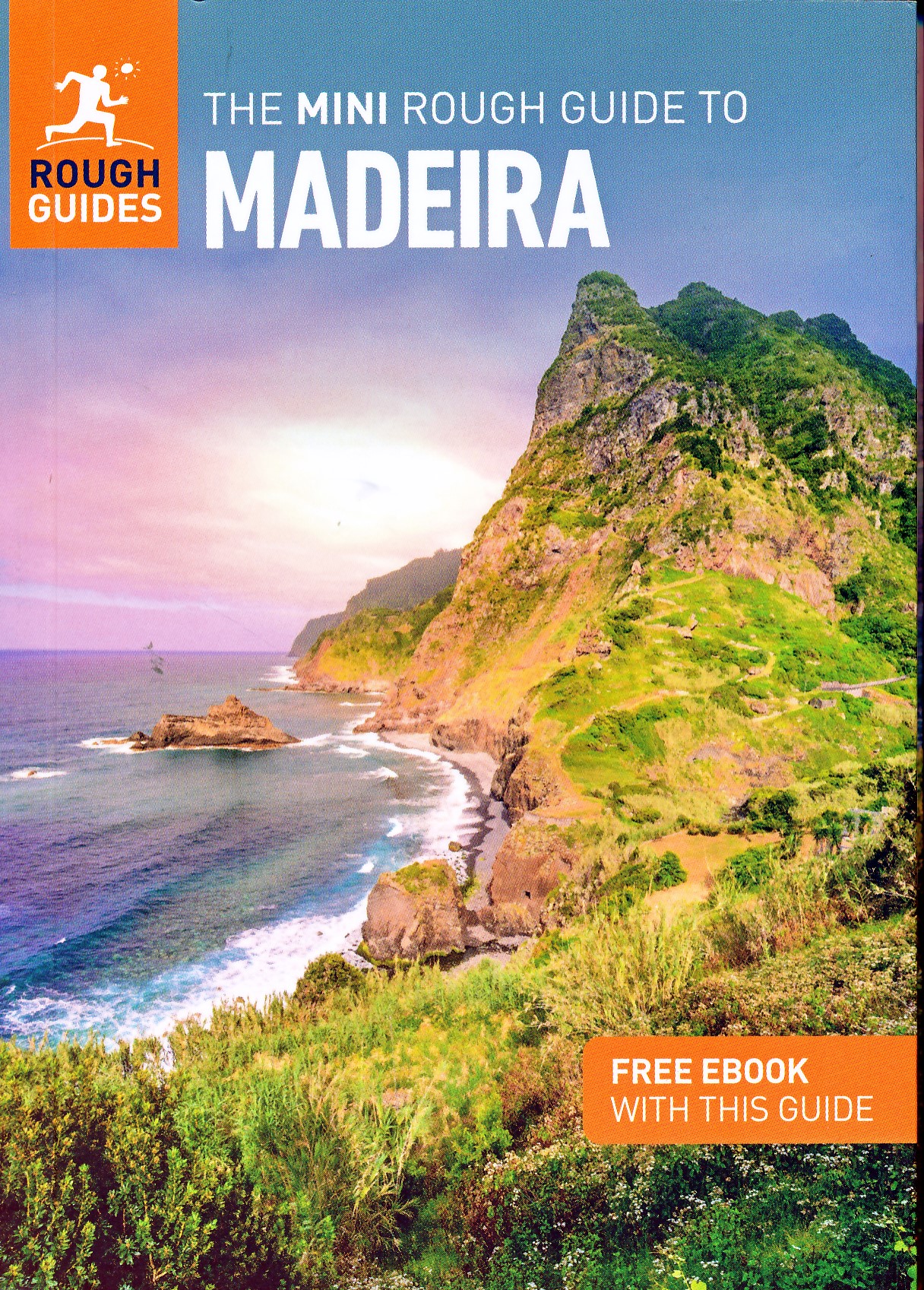
Reisgids Mini Rough Guide Madeira | Rough Guides

Een kleinere versie in zakformaat van de grotere versies van de Rough Guides. Als altijd weer vol met goede informatie over cultuur en praktische zaken. Achterin kleine plattegronden.
This pocket-sized guide is a convenient, quick-reference companion to discovering what to do, what to see and how to get around Madeira. It covers top attractions like Funchal, Monte, Jardim Botânico and Pico do Arieiro, as well as hidden gems, including Curral das Freiras, São Vicente and Ponta do Pargo. This will save you time and enhance your exploration of this fascinating country.

This Mini Rough Guide to Madeira covers: Funchal, Funchal Old Town, Monte, Curral das Freiras, Câmara de Lobos, Cabo Girão, Ribeira Brava, Ponta do Sol, Calheta, São Vicente, Quinta do Palheiro, Porto Moniz, Pico do Arieiro, Ribeiro Frio, Santana, Machico, Ponta de São Lourenço, Porto Santo

In this travel guide you will find:

RECOMMENDATIONS FOR EVERY TYPE OF TRAVELLER
Experiences selected for every kind of trip to Madeira, from cultural explorations in Funchal to family activities in child-friendly places, like Parque Temático do Madeira or chilled-out breaks in popular tourist areas, like Porto Santo.

TOP TEN ATTRACTIONS
Covers the destination's top ten attractions not to miss, including Jardim Botânico, Palácio de São Lourenço and Cabo Girão, plus a Perfect Day itinerary

COMPACT FORMAT
Compact, concise, and packed with essential information, with a sharp design and colour-coded sections, this is the perfect on-the-move companion when you're exploring Madeira

HISTORICAL AND CULTURAL INSIGHTS
Includes an insightful overview of landscape, history and culture

WHAT TO DO
Detailed description of entertainment, shopping, nightlife, festivals and events, and children's activities

PRACTICAL MAPS
Handy colour maps on the inside cover flaps will help you find your way around

PRACTICAL TRAVEL INFORMATION
Practical information on Eating Out, including a handy glossary and detailed restaurant listings, as well as a comprehensive A-Z of travel tips on everything from getting around to health and tourist information.

STRIKING PICTURES
Inspirational colour photography throughout

€ 23.95
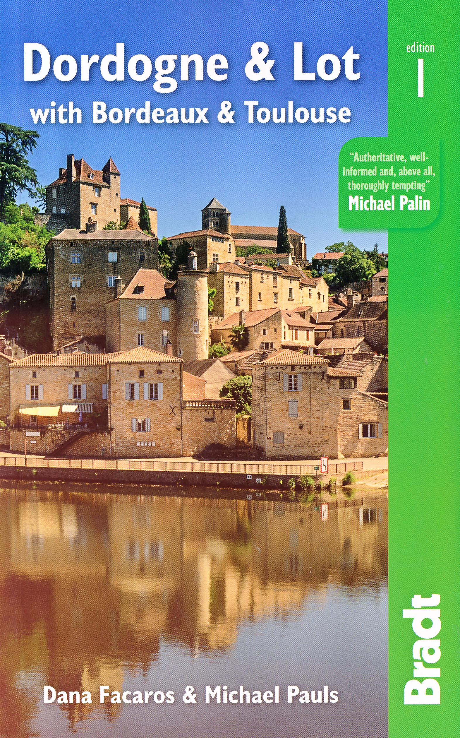
Reisgids Dordogne and Lot | Bradt Travel Guides

Voor vele landen en gebieden net zo goed, zo niet beter dan de Planet. Beduidend soberder uitgevoerd, maar ook met veel informatie voor alle soorten reizigers zoals backpackers en met veel kaartmateriaal. Een aanrader!
Bradt's Dordogne & Lot, with Bordeaux & Toulouse is the most detailed guide to the entire region, with coverage that includes the Lot-et-Garonne and Tarn-et-Garonne in addition to Dordogne, Lot and Bordeaux. Dana Facaros and Michael Pauls (authors of the original Cadogan guide to the area) have lived in the Lot valley for over thirty years and are the perfect guides to the region's landscapes, towns, food, art, architecture and, of course, wine: Bordeaux's 8,800 wine châteaux produce on average 650 million bottles a year! Their guide starts with Bordeaux, the capital of the Nouvelle-Aquitaine region as well as the world capital of wine, along with the départements of the Gironde, Dordogne, Lot, Lot-et-Garonne, and Tarn-et-Garonne in between.
This is a land of great wines and stunning rivers, encompassing long sandy beaches along the Côte d'Argent (with Europe's biggest sand dune on the south end), forests and rolling hills. Here, too, are the UNESCO-listed Prehistoric Sites and Decorated Caves of the Vézère Valley, and extraordinary Palaeolithic masterpieces (Lascaux, Font de Gaume and Pech Merle). History has been made here, evidenced in medieval castles and bastides, and beautiful old cities such as Sarlat, Périgueux, St-Émilion, Cahors and Figeac. Hundreds of unspoiled villages dot landscapes that are among the most idyllic in France, while Romanesque churches, including the great abbey at Moissac, are a feast for art lovers.
Outdoor activities are well covered, too, including cycling, sailing, surfing, canoeing, kayaking and walking the numerous Grand Randonnées (including three main routes of the Camino de Santiago) that pass through here, along with scores of other paths. And last but not least, the food is good: think truffles, oysters, duck, saffron, strawberries and melons, walnut groves and orchards. The weekly markets are gorgeous, and the summers are filled with wine, music and theatre festivals. All of this and more is covered by expert authors Dana Facaros and Michael Pauls in this new title from Bradt, offering all the information you need both prior to departure and while on the road.

€ 23.95
Fietsgids Cycling the Route Des Grandes Alpes | Cicerone

Guidebook to cycling the 720km Route des Grandes Alpes through south-eastern France. From Lake Geneva to Mediterranean Nice via numerous high Alpine passes, taking in the Vanoise, Ecrins, and Mercantour National Parks, the route is challenging, although entirely on roads. However, with plenty of charging points, it is well suited to e-bikes.
Abounding in history and dotted with cols coloured by stories about the world's greatest cyclists, the Route des Grandes Alpes (RdGA) is a must for competent, hill-hungry cycle tourers. Covering some 720km from Lake Geneva (Lac Léman) to mediterranean Nice, the route is described across 14 stages and can be completed in anywhere from 7 to 14 days - depending on how you'd like to spread out the 17,000m of climbing. Six variants are also described, ensuring no holiday is compromised or cut short if a col on route is closed.
Clear and concise route descriptions are provided for each stage (and variant), together with 1:150K mapping and extremely helpful gradient profiles. Also included is invaluable practical advise - everything from bicycle selection (including eBikes) and nutrition in the saddle, to logistical planning and accommodation options.
Showcasing some of the world's best Alpine cycling, the RdGA takes in 17 major climbs, including the famous Col de l'Iseran (the highest paved pass in the Alps), the Col du Galibier (favourite climb of Tour de France founder, Henri Desgrange) and the Col d'Izoard (synonymous with cycling legends Fausto Coppi and Louison Bobet). It also passes through some of the most spectacular national parks in France, including the Vanoise, the Écrins and the Mercantour.

€ 10.95
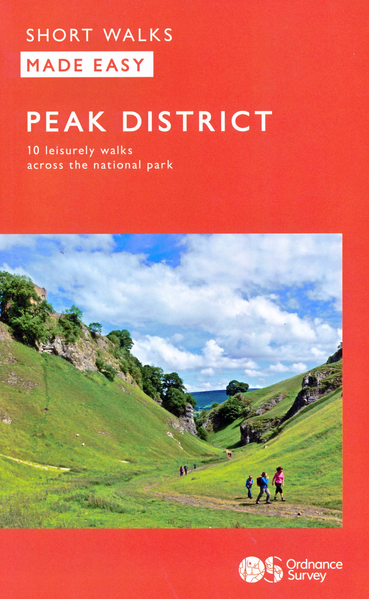
Wandelgids Peak District | Ordnance Survey

Each walk features a simple-to-follow route profile and accompanying description and pictures, and new-look walk mapping that makes it easier for the user to focus on the route and the points of interest along the way.

€ 13.95
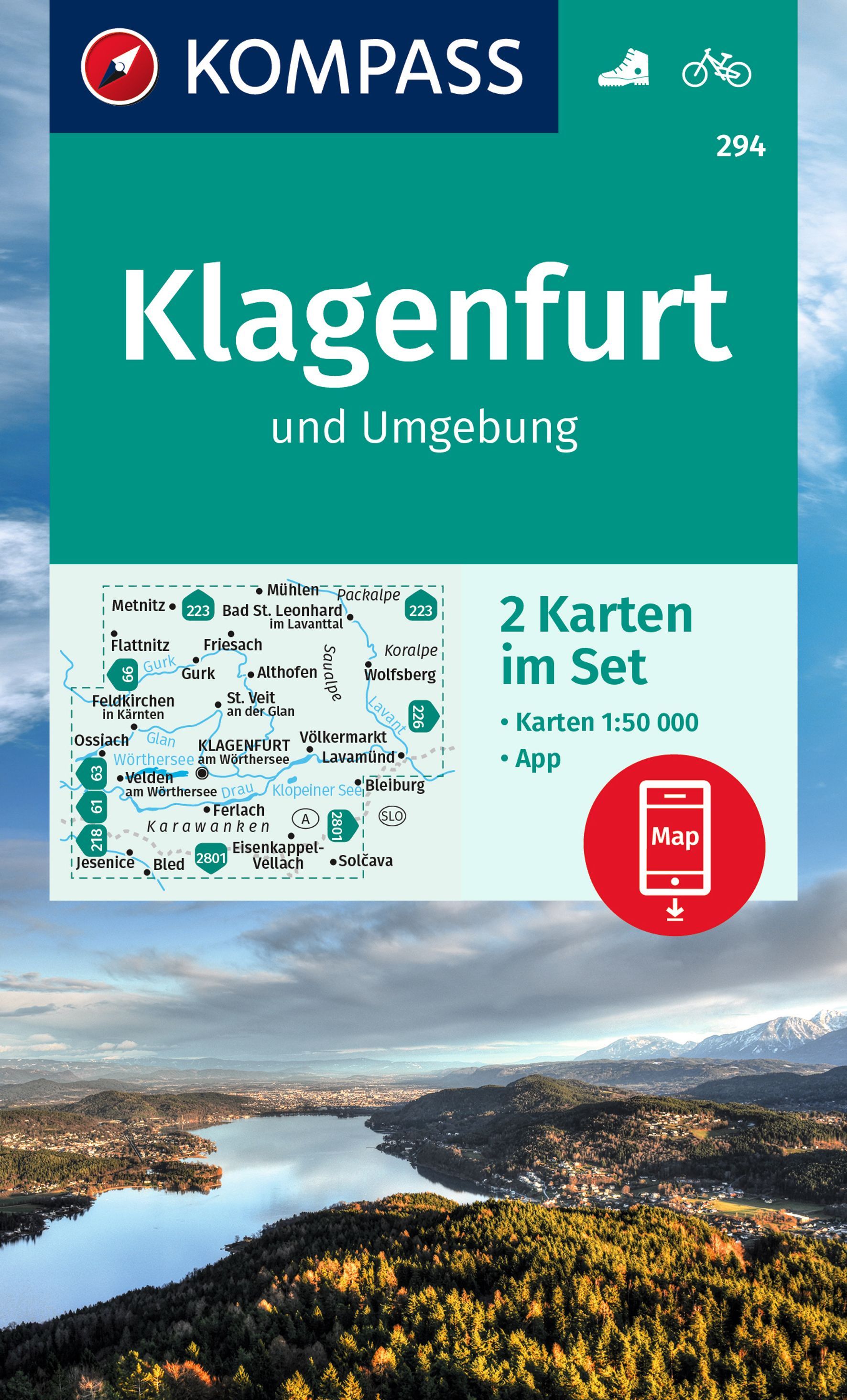
Wandelkaart 294 Klagenfurt und Umgebung | Kompass

Goede wandelkaart met vrijwel alle topografische details als hoogtelijnen, vegetatie, schaduwtekening maar ook de ingetekende wandelroutes en in veel gevallen ook fietsroutes (MTB). Gevaarlijke routes worden als zodanig weergegeven met een bepaalde markering. Berghutten en campings zijn goed terug te vinden op deze kaarten.
 
Daarnaast staan de toeristische bezienswaardigheden met symbolen vermeld. Kleurgebruik kan soms vrij fel overkomen, daardoor oogt deze detailkaart wellicht wat druk, maar het blijft een goed leesbare kaart. Sommige kaarten zijn geplastificeerd, maar helaas niet allemaal. De graden staan aan de zijkanten van de kaart, daardoor te gebruiken voor GPS.
 
Die KOMPASS Wanderkarte ist jetzt noch übersichtlicher und besser lesbar. Die kostenlose App für unterwegs gibt es auch noch dazu. Das bildet die perfekte Grundlage für die Planung einer Wandertour. Die präzise Kartografie zeigt alle begehbaren Wanderwege inklusive Klassifizierung. Informationen wie Schwimmbäder, Kinderspielplätze, Hütten und vieles mehr sind in der Karte ebenfalls enthalten.

€ 9.95
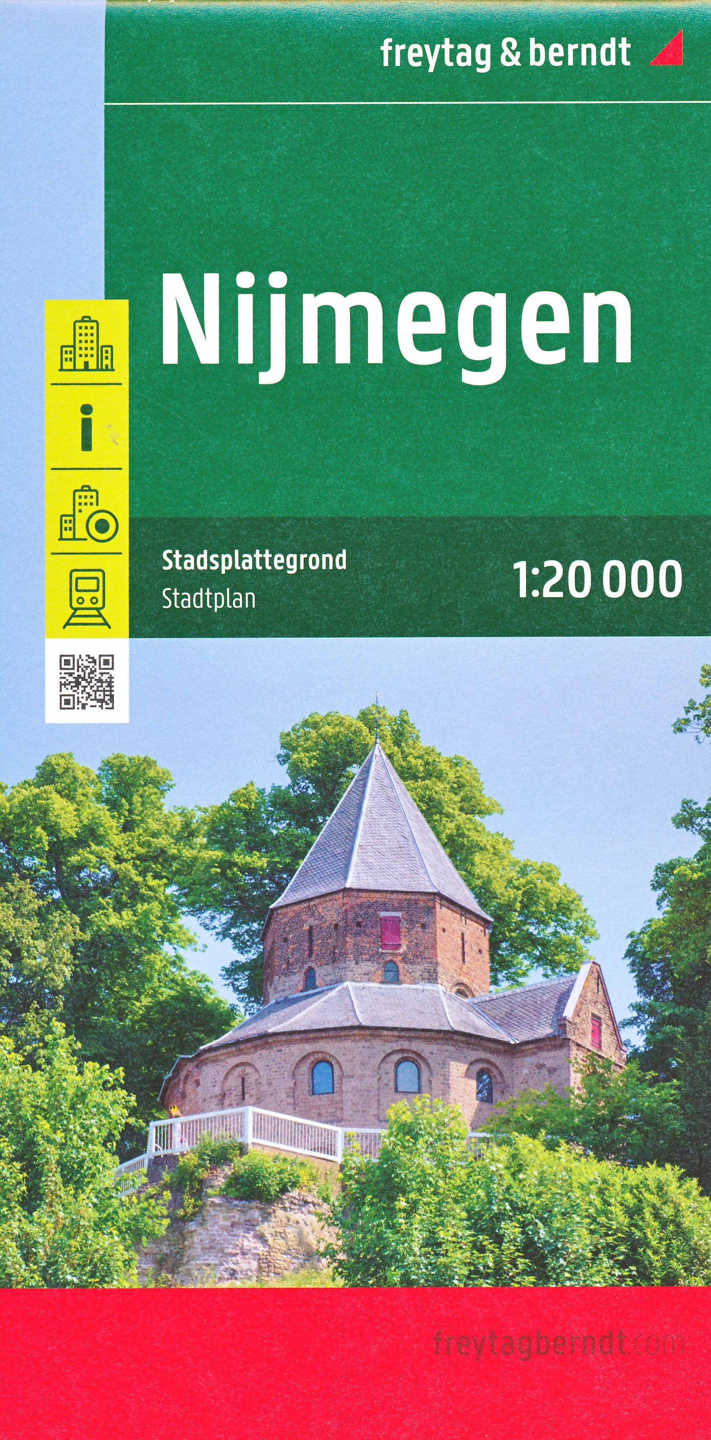
Stadsplattegrond Nijmegen | Freytag & Berndt

Handzame éénzijdige stadsplattegrond op schaal 1:20.000. Met een gedetailleerde centrumkaart en straatnamenregister. Mooi helder kleurgebruik, wel wat druk in sommige delen waar veel kleine straten zijn.

€ 9.95
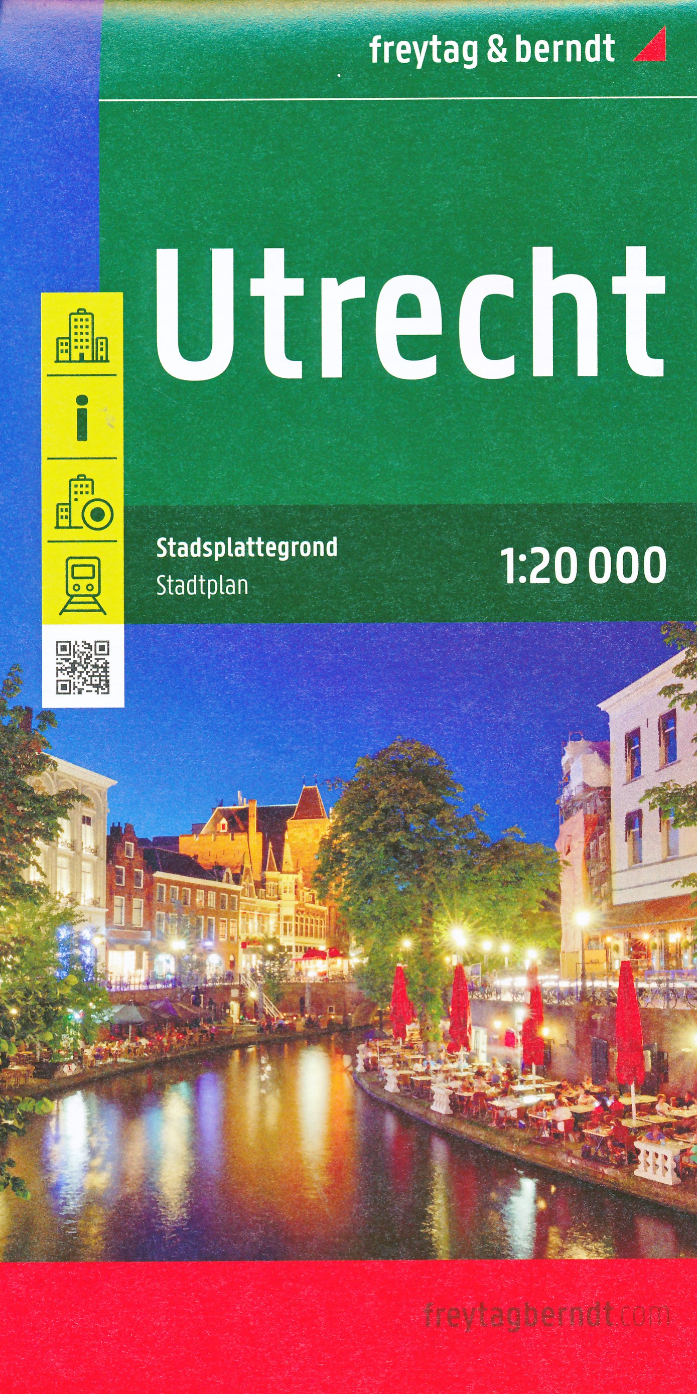
Stadsplattegrond Utrecht | Freytag & Berndt

Handzame éénzijdige stadsplattegrond op schaal 1:20.000. Met een gedetailleerde centrumkaart en straatnamenregister. Mooi helder kleurgebruik, wel wat druk in sommige delen waar veel kleine straten zijn.

€ 24.50
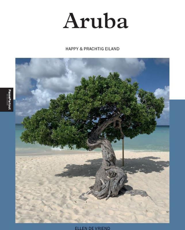
Reisgids PassePartout Aruba | Edicola

‘O, Aruba, dushi tera!’ luidt het Arubaanse volkslied. En een prachtig eiland is het. Witte zandstranden, strakblauwe baaien waar je het hele jaar door kan zwemmen, kalksteengrotten en glooiende heuvels. Aan de oostkant is het 3.200 hectare grote Arikok National Park. Ook de andere natuurparken, de mangrovebossen, de grotten en goudmijnen zijn het bezoeken zeker waard. De flora en fauna is uniek en de onderwaterwereld is overweldigend en mooi. Op het Caribische eiland kun je heerlijk chillen op de stranden, cultuur snuiven in Oranjestad en San Nicolas en genieten van alle culinaire hotspots. Je kan er wandelen, fietsen en (water)sporten, een kijkje nemen in de musea en shoppen. Kortom: oneindig veel mogelijkheden voor een onvergetelijke vakantie. Auto-, fietsroutes en wandelingen leiden je over dit eiland.
 
Ellen De Vriend is thrillerschrijfster, freelance (reis)journalist en fotografe  en al tientallen keren op Aruba geweest. Ze houdt niet van gebaande wegen en bezoekt ook juist de minder bekende locaties en laat bij voorkeur de onbekende rijkdommen van dit kleurrijke eiland zien.

€ 19.99
Reisgids Time to momo Lille + Kortrijk | Mo'Media | Momedia

Lille (in het Nederlands Rijsel) wordt ook wel het Parijs van het Noorden genoemd. Maar
het ademt ook Vlaamse sfeer: chocola en friet vind je er volop. Lille was al eens de culturele
hoofdstad van Europa, en is dan ook een walhalla voor cultuurliefhebbers. Hoog tijd om
deze nieuwe bestemming, op iets meer dan drie uur rijden van Utrecht en anderhalf uur van
Brussel, toe te voegen aan onze stedengidsen.
Heb je tijd over? Deze gids bevat ook een autoroute van Lille naar Kortrijk en een paar
routes in het plaatsje aan de Leie.
 
Met deze nieuwe time to momo Lille en Kortrijk haal je alles uit je stedentrip!  Stap je hotel uit en loop regelrecht naar de leukste wijken van de stad. Op weg naar nieuwe restaurantjes, de beste koffie en dat lokaal gebrouwen biertje. Bij time to momo delen lokale auteurs uit liefde voor hún stad alleen de echte highlights met je. Zo sla je de drukke dertien-in-een-dozijn-winkelstraten over en wandel je, terwijl je onderweg een bezienswaardigheid meepikt, naar de leukste adressen waar de locals zelf graag komen.
 
Met 6 verrassende routes door de verschillende wijken kun je de steden in je eigen tempo ontdekken én de lokale lifestyle beleven. 
 
Inclusief: 
- Alle belangrijke bezienswaardigheden 
- Meer dan 250 adressen om te eten, drinken en shoppen
- Handige uitneembare stadsplattegrond én gratis kaart-app
- Leuke top 10-lijstjes

€ 21.95
Wegenatlas Road Atlas USA Canada Mexico 2025 | A4-Formaat | Ringband |

De beroemde wegenatlas van Rand McNally nu als Michelin atlas.
Super handige atlas van Michelin in A4 formaat met stevige ringband.
Let op: Canada en Mexico staan er zeer beperkt in.

For inspiring road trips and scenic drives, Michelin's updated, spiral-bound North America Road Atlas 2024 suggests 52 routes. The tiled atlas, with its clear, accurate mapping, complements online navigation while its big picture and road details aid in advance planning and en route decisions. For outdoor fun and adventure, look for inspiration among the highlights from national and provincial parks, including the parks' GPS coordinates.


Rely with confidence on Michelin's deluxe atlas to get you there. Covers USA, Canada and Mexico. Scale 1:625,000 - 1:9,018,000.


Spiral bound for lay-flat convenience. More than 240 large-scale city maps for navigating in and around urban areas. Bonus Northeast Corridor maps provide extra detail between Boston and Washington DC for easier driving.


Six-page travel inspiration section focusing on selected national and provincial parks in the US and Canada; points of interest, activities and suggested drives pulled from Michelin's famed travel guides. 1000+ travel center locations clearly indicated on atlas pages for convenient stops while en route. 12 full pages of GPS coordinates to US and Canadian national, state & provincial parks to help you directly plot your path to outdoor fun.


Extensive 96-page place name index for rapid look-up. Layout of tiled atlas pages is user-friendly, offering continuity when driving, and logically complements online navigation systems. 100+ year history of mapmaking - recognized for accuracy and clarity.
 
* More than 240 large-scale city maps for navigating urban areas. * Bonus Northeast Corridor maps provide extra detail between Boston and Washington DC for better navigation. * Extensive 96-page place name index for rapid look-up.
 
* 100+ year history of mapmaking - recognized for accuracy and clarity.

Abonneer op