€ 10.95
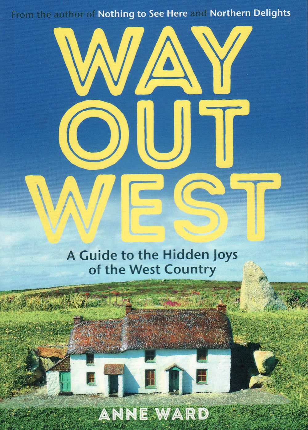
Reisgids Way Out West | Pocket Mountains

Handige compacte wandelgids met 40 dagwandelingen. Deze gids bevat kleine kaartjes en leuke uitgebreide informatie over wat er langs de route te zien is. Goede wandelkaarten zijn echter we noodzakelijk voor deze tochten: de Ordnance Survey explorer maps of Landanger maps zijn zeer geschikt.


Way Out West is a guide to the hidden gems of the South West. Step inside and discover the marvellously unusual museums, intriguing architecture, quirky attractions and all-round oddities of Dorset, Somerset, Devon and Cornwall. Way Out West is the third book in the bestselling Nothing To See Here series of travel guides. Unlike its predecessors, it happened almost by accident when a simple trip to North Cornwall – never designed to eke out the brilliant and the bizarre – unearthed a collection of unexpected treasures of such wealth and scope that a third volume became inevitable.
 
Sometimes wonderful things find you, and stumbling across places like the Hawker’s Hut, Barometer World and the Boscastle Museum of Witchcraft proved that this intriguing part of the country could easily fill a book with its unusual and sometimes well-hidden attractions.
 
Further expeditions followed and the result is this collection that celebrates the less-than-ordinary destinations in the counties of Devon, Dorset and Somerset, as well as in Cornwall. It’s a particularly beautiful part of the world, full of enchanting scenery, fascinating history and buckets of charm. Travellers should note that the narrow roads and relaxed pace of life can mean it takes a while to get anywhere around these parts, so take your time to savour the joys of the West Country.

€ 14.95
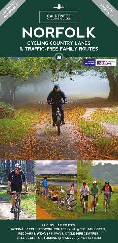
Fietskaart 09 Cycling guides Norfolk | Goldeneye

Norfolk is the fourth largest county in England and one of the most rural. It is also one of the flattest and our circular routes have been chosen to explore the quiet lanes linking the isolated and picturesque villages and places of interest. This is ideal cycling territory and fortunately, the Norfolk County Council (and its District Councils) are seriously committed in providing and developing cycling routes and in promoting a cycling culture that is sustainable and family friendly. Some of their routes are illustrated, hitherto.
 
The County has been described as flat (rather gentle undulations) and does not in fact rise much over 300 feet, but it offers great scenic interest; the dark forests of Breckland, the rolling chalk lands of the northwest, the unique watery patch of the Broads, and a coastline of great variety. Ancient churches and picturesque villages are there in abundance, the latter often decorated with the attractive signs designed by Harry Carter in the 1950’s.
 
Recommended Routes/Trails
 
National Cycle Network (NCN) & Regional Routes
 
This is a linked series of traffic-free paths and traffic-calmed roads being developed across the UK linking town centres and the countryside.  The so-named route numbers do not always join up as the overall planned route has not been completed and sometimes they overlap with other routes. www.sustrans.org.uk 
 
The following NCN routes cross Norfolk:-
 
NCN Route 1. 
 
Hull to Harwich. A 370 mile route passing Cathedral cities, towns and villages through pastoral countryside. Connects Norwich to Fakenham and King’s Lynn. Mainly on road but does use the Marriott’s Way. Links with Norfolk Coast Cycleway at Wighton (E1) and with NCN 13 at Gateley (F4).
 
NCN Routes 13. 
 
Dereham to Thetford. A 30 mile route passes through the distinctive Breckland landscape of mid-Norfolk. Follows minor roads joining the Peddars Way between Wretham (E9) and Pockthorpe (E8). Route through Dereham has been resurfaced and improvements north of Thetford are planned, as is a route south from Thetford.
 
 Regional Routes
 
1. Norfolk Coast Cycleway NCN 30. A fine route running inland away from the busy coast road. It affords spectacular views; dramatic scenery, endless skies and much birdlife. Originally 59 miles from Cromer to King’s Lynn, now with 39 mile extension to Great Yarmouth. Careful between Sea Palling and Great Yarmouth but be prepared to take alternative route walking beside the River Thurne between Potter Heigham and Martham.
 
2. Regional Route 30. Norfolk/Suffolk border from Thetford to Beccles and Lowestoft, and Downham Market.
 
Traffic-Free Family Routes
 
1. Bacton Wood. Circular rides up to 2 miles within 133 hectares. Picnics. Linked to North Coast Cycleway. Hybrid/Mountain bike required. (L3)
 
2. Bure Valley Railway & Path. 9-mile route between Aylsham and Wroxham with return journey by miniature steam train. (J3-L5)
 
3. Holkham Hall. Circular route from Wells passes through the grounds. (E1)
 
4. Hockwold. See our Route No. 12 below. (B9)
 
5. Marriott’s Way. 26-mile route using the trackbeds of two disused railways named after local railway engineer, William Marriott. Links Aylsham and Reepham with Norwich, and is open to cyclists, walkers and horse riders. Often remote hence an abundance of wildlife, flowers and plants. (H4-5, J4-5) 
 
6. Paston Way. Short one-mile route allowed for cyclists from North Walsham to Knapton. Walkers may continue for further 7 miles. (L3)
 
7. Peddars Way. A challenging 46-mile route, the origin whose name is obscure, links Knettishall Heath near Thetford with the coast at Holme. For the most part it follows the old Roman road built to restrain the rebellious Iceni tribe. Open to cyclists, walkers and horse riders. (F10-B1)
 
8. Quiet Lanes Project. See our route no.17. (L2)
 
9. Thetford Forest. Wide scope of off-road riding with links to Peddars Way. Bike hire at Forest High Lodge. (D9)
 
10. Weaver’s Way. 56-mile trail linking Cromer with Great Yarmouth by a circuitous route designed to cover a variety of scenery and places of interest using minor roads, footpaths and old railway lines. Named after weaving trade. Cycling only permitted on 13-mile section between Aylsham and Stalham. Surface often pitted. Short section of road through market town of North Walsham. (K3)

€ 15.95
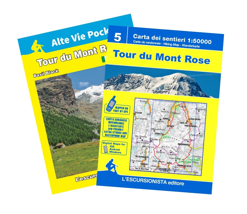
Wandelkaart 5 Tour du Mont Rose - Monte Rosa | L'Escursionista editore

Die Tour des Mont Rose ist ein Rundkurs in 10 Etappen um das Massiv des Monte Rosa und des Mischabel, in den Penninischen oder Walliser Alpen. Sie überquert im Wallis dem Valtournenche und dem Valsesia 3 Höhenzüge und nutzt zum Teil Wege des Walservolkes auf ihren Wanderungen von einem Tal zum anderen. Normalerweise geht man von Zermatt (im Wallis) los, gegen den Uhrzeigersinn, aber man kann auch von Saas Fee auf der Schweizer Seite losgehen, oder von Staffal im Aosta-Tal oder von Macugnaga im Piemont. Der Führer enthält die Fotos und technischen Daten der 10 Etappen der Tour mit den Kontaktdaten aller Unterkünfte sowie eine Karte im Maßstab 1: 50000 mit Kilometerraster, die auf einem ökologischen, wasserfesten und widerstandsfähigen Träger gedruckt ist.

€ 23.95
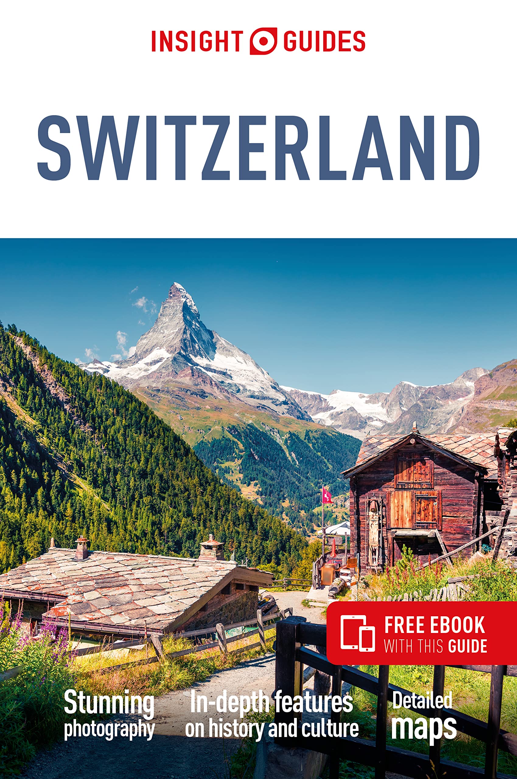
Reisgids Switzerland - Zwitserland | Insight Guides

Dé gids als het gaat om achtergrondinformatie en prachtige foto’s. Kwalitatief van een hoog niveau, zeer informatief. 
Insight Guide to Switzerland is a pictorial travel guide in a magazine style providing answers to the key questions before or during your trip: deciding when to go to Switzerland, choosing what to see, from exploring Lake Geneva to discovering Ticino or creating a travel plan to cover key places like Zurich and the Bernese Oberland. This is an ideal travel guide for travellers seeking inspiration, in-depth cultural and historical information about Switzerland as well as a great selection of places to see during your trip.

The Insight Guide Switzerland covers: The Bernese Oberland, the West, Lake Geneva, the Valais, Ticino, the Southeast, Zurich, the Northeast, Basel, the Jura, the Luzern Lowlands and Central Switzerland

In this travel guide you will find:

IN-DEPTH CULTURAL AND HISTORICAL FEATURES
Created to explore the culture and the history of Switzerland to get a greater understanding of its modern-day life, people and politics

BEST OF
The top attractions and Editor's Choice highlighting the most special places to visit around Switzerland

CURATED PLACES, HIGH QUALITY MAPS
Geographically organised text cross-referenced against full-colour, high quality travel maps for quick orientation in Basel, the Luzern Lowlands and many more locations in Switzerland.

COLOUR-CODED CHAPTERS
Every part of Switzerland, from the Bernese Oberland to Zurich has its own colour assigned for easy navigation

TIPS AND FACTS
Up-to-date historical timeline and in-depth cultural background to Switzerland as well as an introduction toSwitzerland's Food and Drink and fun destination-specific features.

PRACTICAL TRAVEL INFORMATION
A-Z of useful advice on everything from when to go to Switzerland, how to get there and how to get around, as well as Switzerland's climate, advice on tipping, etiquette and more.

STRIKING PICTURES
Features inspirational colour photography, including the stunning Matterhorn and the spectacular Lake Geneva.

FREE EBOOK
Free eBook download with every purchase of a printed book to access all the content from your phone or tablet, for on-the-road exploration.

€ 16.50
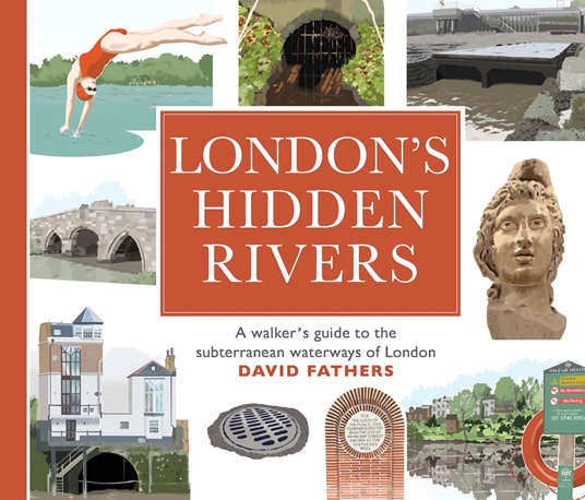
Wandelgids London's Hidden Rivers | Frances Lincoln

London has many rivers, but they are often hidden under centuries of development. Rivers like the Walbrook, the Fleet or the Westbourne have left their mark on the city, and still form an important part of our subterranean world. David Fathers traces the course of twelve hidden rivers in a series of detailed guided walks, illustrating the traces they have left and showing the ways they have shaped the city.
 
Each walk starts at the tube or rail station nearest to the source of the river, and then follows it down to the Thames through parkland, suburbia, historic neighbourhoods and the vestiges of our industrial past. Along the way there are encounters with such extraordinary Londoners as William Blake, Judy Garland, Paul Robeson, Terence Donovan, Bradley Wiggins, Nelson, Lenin, Freud, and the great Victorian engineer Joseph Bazalgette. Hidden Rivers of London contains over 120 km of walks, both north and south of the Thames.
 
Winding through the hills, valleys and marshes that underlie the city, every page is a revelation.

€ 24.50
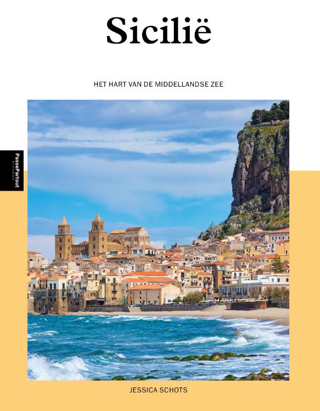
Reisgids PassePartout Sicilië | Edicola

icilië, eiland in het hart van de Middellandse Zee. Hier komen werelden samen en zijn culturen verworven tot een uniek geheel. Het ongerepte landschap is een stille getuige van een ongelofelijk rijk verleden dat wij terugzien in de sporen van de Griekse, Romeinse (en oudere) beschavingen, in de kunst en architectuur waarmee Arabieren en Normanna het eiland verrijkten. 
 
Op de markten, in de steegjes, in de keuken. De wortels van hoofdstad gaan terug naar de Feniciërs in de 8e eeuw  voor Christus - als één stad zich een smeltkroes mag noemen, laat het dan Palermo zijn. De Etna spreekt al eeuwen tot de verbeelding. De majestueuze Siciliaanse Barok pronkt in de Val di Noto in het zuiden. Zoveel lagen, uit alle windrichtingen, van over drie zeeën - dit eiland laat zich niet gemakkelijk vatten. Maar geef haar de kans en je zult voor haar vallen. Dat is de kunst van Sicilië.
 
Hier komen werelden samen en zijn culturen verworven tot een uniek geheel
 
Jessica Schots is kunsthistorica en schrijft regelmatig over kunst en cultuur in Italie. Recent schreef zij een succesvolle reisgids over Rome. Is woonachtig in Italie, waar ze rondleidingen geeft en doceert over kunst en cultuur.

€ 23.95
Fietsgids The River Loire Cycle Route | Cicerone

This guide describes a 1061km cycle route that starts at source of the Loire in the Massif Central mountains of central France and finishes at the Atlantic opposite St Nazaire. The route goes through the heart of France as the Loire becomes the royal river, bounded by extravagant châteaux, fields of Charolais cattle and vineyards. It passes through historic cities like Orléans and Tours, continuing past Angers and France's fourth largest city Nantes.
The 1061km Loire Cycle Route starts at the source of the River Loire in the Massif Central mountains of central France and finishes at the Atlantic opposite St Nazaire. It descends past extinct volcanoes, crater lakes and deep gorges before joining EuroVelo route 6, followed by the fully waymarked Loire à Vélo, France's most popular cycle trail. Following the river downstream in 26 stages, the route is generally downhill or level, often on dedicated traffic-free cycle tracks.
 
Packed with a wealth of useful information - from practical planning advice to fascinating insights about the river and its surroundings - the guidebook features detailed route descriptions and informative mapping. Details of facilities and places to stay, and a French glossary, are also included.
 
The route goes through the heart of France as the Loire becomes the royal river, bounded by extravagant châteaux, fields of Charolais cattle and vineyards. It passes through historic cities like Orléans and Tours, continuing past Angers and France's fourth largest city Nantes to finish on the Atlantic coast.
 

Seasons


The whole route can be cycled when the mountains near the source are snow free, usually April-October. Stages 7-26 can be cycled at any time of year, though April-October is the best period.


Centres


The route passes through Le-Puy-en-Velay, Roanne, Nevers, Orléans, Tours, Saumur, Angers, Nantes and St Nazaire.


Difficulty


Apart from a steep 1000m climb to reach the start and a few ascents and descents in the first six stages this is a straightforward route that is generally downhill or level. Mostly asphalt surfaces in good condition suitable for hybrid or touring cycles. Much of the route follows dedicated off-road cycle tracks, suitable for family cycling, though there are a few short sections where main roads are used.


Must See


Mont Gerbier de Jonc and the volcanic hills of the Ardèche, Le Puy-en-Velay, Charolais hills. After Nevers the route follows La Loire à Vélo, France's most popular cycleway, passing many of the royal châteaux (Chambord, Blois, Chaumont, Villandry, Amboise), vineyards (Sancerre, Touraine, Chinon, Saumur, Anjou, Muscadet), and historic cities (Orléans, Tours, Angers, Nantes) of the Loire Valley.

€ 17.95
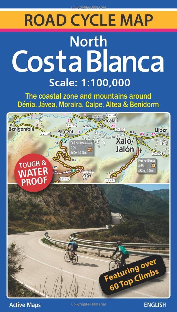
Fietskaart Costa Blanca North | Active Maps Limited

A 100,000 scale detailed road cycle map for North Costa Blanca (the coastal zone and mountains around Denia, Xabia/Javea, Moraira, Calpe, Altea & Benidorm). Easy cycle route planning with road classifications, distance markers between key junctions, top climbs, spot heights and relief representation. Includes 11 classic route suggestions that pass through valleys, go high up into the mountains, visit unspoilt villages and towns and meander along the coast.
 
Features over 60 top climbs marked on the map with details of gradient, ascent and length (Coll de Rates, Port de Tudons, Confrides, Cumbre del Sol, Port de Bernia, Miserat, Vall d'Ebo, Coll de la Garga, and many more). Some of the key inland towns on the map include Tarbena, Castell de Castells, Xalo/Jalon, Pego, Villalonga, Sella, Guadalest, L'Orxa, Benifallim, Planes, Muro de Alcoy). The map is printed on tough and waterproof paper.

€ 12.95
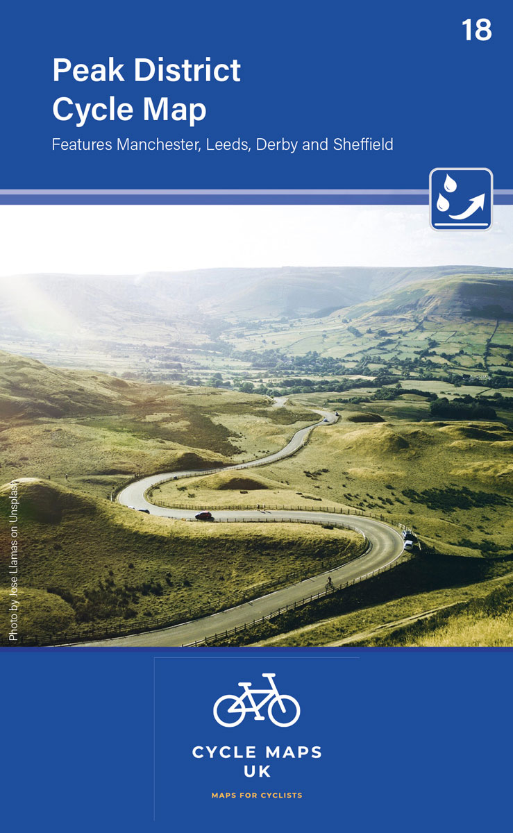
Fietskaart 18 Cycle Maps UK Peak District | Cordee

Een nieuwe fietskaarten serie van Groot-Brittannië. Gedrukt op scheur- en watervast papier en mooi handzaam klein formaat. Deze kaarten zijn met name heel goed om de Lange Afstands Fietsroutes (LF) te fietsen, het National Cycle Network staat duideljk ingetekend. Daarnaast vind je op de kaart veel praktische informatie als fietsenmakers, campings, jeugdherbergen en supermarkt. 
The next map in the Cycle Maps UK series covers the Peak District and the surrounding cities of Manchester, Leeds, Derby and Sheffield.
 
The maps are all produced at a scale of 1:100 000 showing important features including the National cycle Network. Sections on road, off road and traffic free are all shown in differing colours along with their route number. Other roads and their classification are shown enabling you to link rides or explore sections and discover new routes at home or further afield.
 
Facilities such as toilets, pubs, accommodation, bike shops, repair stations and railway stations are all shown. The mapping also has relief shading giving you a clear picture of the terrain (and steepness of any hills) you will encounter.
 
Scale: 100 000 (10mm = 1 Km, 16mm = 1 Mile)
 
Folded size: 163mm x 105mm
 
Unfolded: 650mm x 800mm
 
Tear and water-resistant paper
 
Double sided

€ 12.95
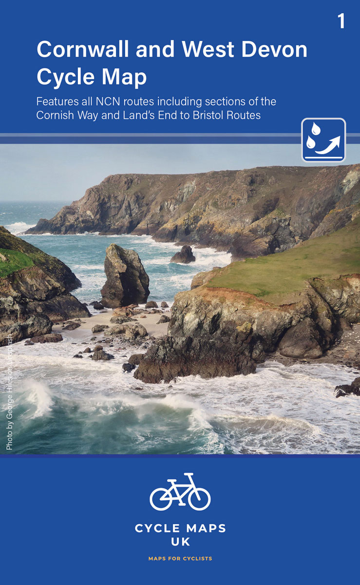
Fietskaart 01 Cycle Maps UK Cornwall and West Devon | Cordee

Een nieuwe fietskaarten serie van Groot-Brittannië. Gedrukt op scheur- en watervast papier en mooi handzaam klein formaat. Deze kaarten zijn met name heel goed om de Lange Afstands Fietsroutes (LF) te fietsen, het National Cycle Network staat duideljk ingetekend. Daarnaast vind je op de kaart veel praktische informatie als fietsenmakers, campings, jeugdherbergen en supermarkt. 
First in a new series of cycle maps covering the whole country. The first map covers from Lands End in Cornwall to Plymouth.
 
The maps are all produced at a scale of 1:100 000 showing important features including the National cycle Network. Sections on road, off road and traffic free are all shown in differing colours along with their route number. Other roads and their classification are shown enabling you to link rides or explore sections and discover new routes at home or further afield.
 
Facilities such as toilets, pubs, accommodation, bike shops, repair stations and railway stations are all shown. The mapping also has relief shading giving you a clear picture of the terrain (and steepness of any hills) you will encounter.
 
Scale: 100 000 (10mm = 1 Km, 16mm = 1 Mile)
 
Folded size: 163mm x 105mm
 
Unfolded: 650mm x 800mm
 
Tear and water-resistant paper
 
Double sided

Abonneer op